Hope Se Topo Map New Mexico
To zoom in, hover over the map of Hope Se
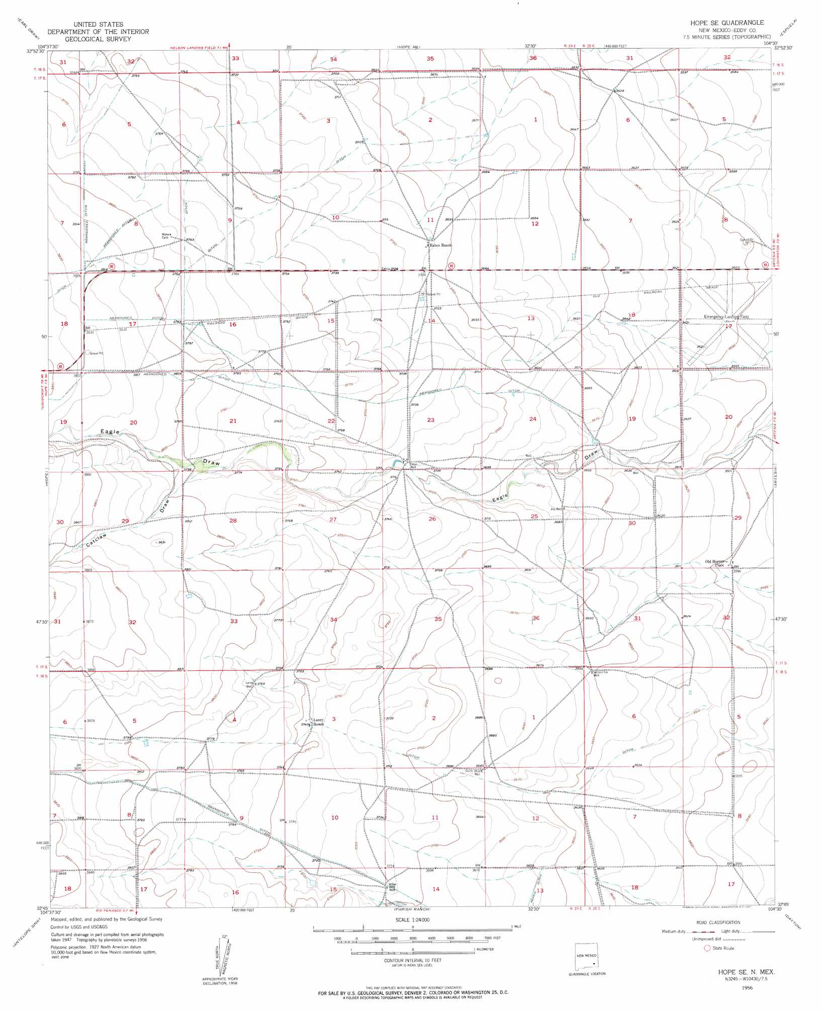
USGS Topo Quad 32104g5 - 1:24,000 scale
| Topo Map Name: | Hope Se |
| USGS Topo Quad ID: | 32104g5 |
| Print Size: | ca. 21 1/4" wide x 27" high |
| Southeast Coordinates: | 32.75° N latitude / 104.5° W longitude |
| Map Center Coordinates: | 32.8125° N latitude / 104.5625° W longitude |
| U.S. State: | NM |
| Filename: | o32104g5.jpg |
| Download Map JPG Image: | Hope Se topo map 1:24,000 scale |
| Map Type: | Topographic |
| Topo Series: | 7.5´ |
| Map Scale: | 1:24,000 |
| Source of Map Images: | United States Geological Survey (USGS) |
| Alternate Map Versions: |
Hope SE NM 1956, updated 1957 Download PDF Buy paper map Hope SE NM 1956, updated 1957 Download PDF Buy paper map Hope SE NM 2010 Download PDF Buy paper map Hope SE NM 2013 Download PDF Buy paper map Hope SE NM 2017 Download PDF Buy paper map |
1:24,000 Topo Quads surrounding Hope Se
Indian Bluff |
Kincaid Ranch |
Hackberry Ranch |
Hagerman Sw |
Hagerman |
Sagebrush Valley E. |
Hope Nw |
Hope Ne |
Espuela |
Artesia Ne |
Sixteenmile Draw East |
Hope |
Hope Se |
Artesia |
Spring Lake |
Holt Tank |
Antelope Sink |
Parish Ranch |
Dayton |
Lake Mcmillan North |
Strychnine Draw |
Box Canyon Ranch |
Foster Ranch |
Seven Rivers |
Lake Mcmillan South |
> Back to 32104e1 at 1:100,000 scale
> Back to 32104a1 at 1:250,000 scale
> Back to U.S. Topo Maps home
Hope Se topo map: Gazetteer
Hope Se: Populated Places
Old Horner Place elevation 1096m 3595′Hope Se: Valleys
Catclaw Draw elevation 1149m 3769′Hope Se: Wells
Eaton Well elevation 1130m 3707′Laney Well elevation 1149m 3769′
Section Six Well elevation 1113m 3651′
South West Well elevation 1122m 3681′
Willar Well elevation 1132m 3713′
Hope Se digital topo map on disk
Buy this Hope Se topo map showing relief, roads, GPS coordinates and other geographical features, as a high-resolution digital map file on DVD: