Basin Well Topo Map New Mexico
To zoom in, hover over the map of Basin Well
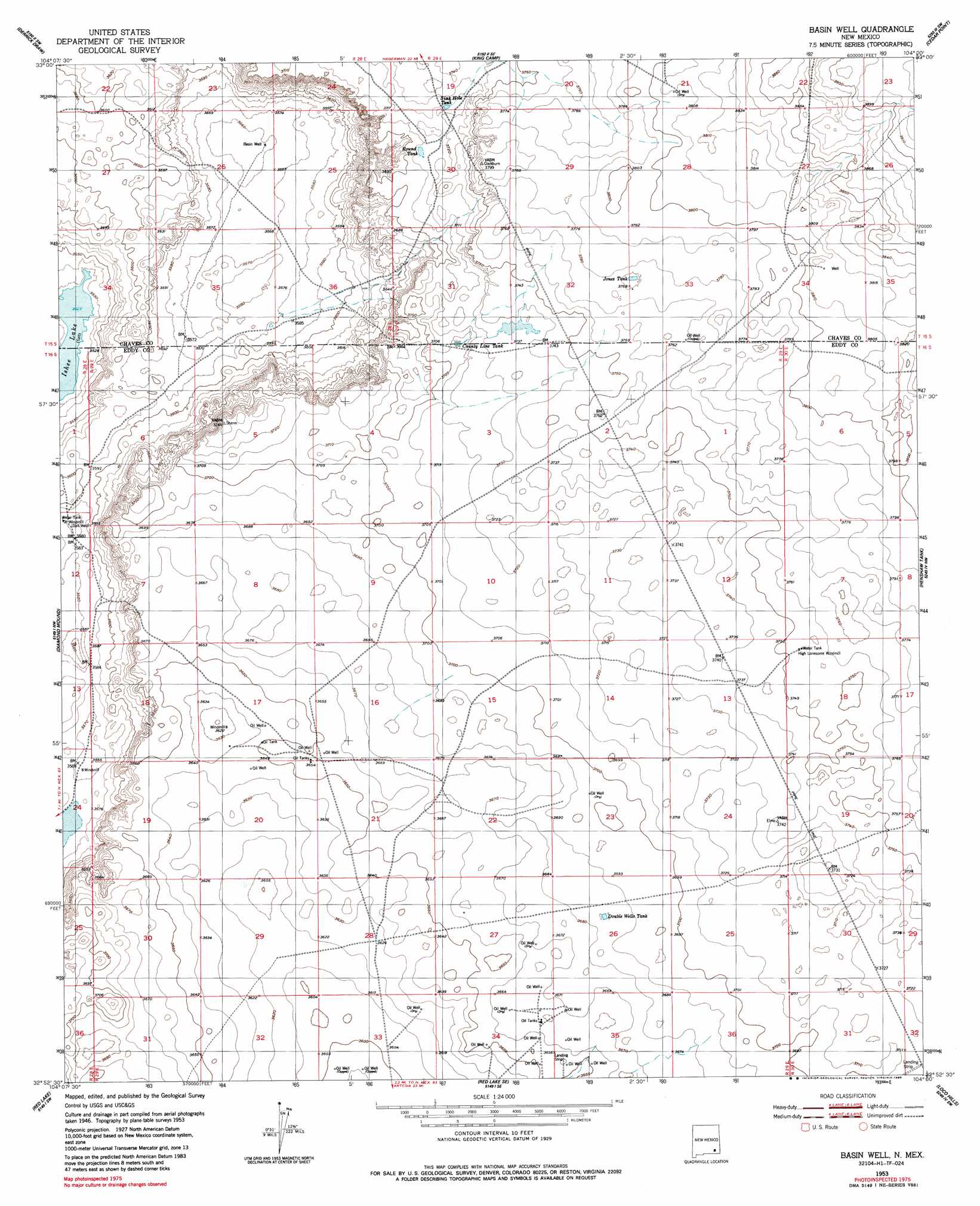
USGS Topo Quad 32104h1 - 1:24,000 scale
| Topo Map Name: | Basin Well |
| USGS Topo Quad ID: | 32104h1 |
| Print Size: | ca. 21 1/4" wide x 27" high |
| Southeast Coordinates: | 32.875° N latitude / 104° W longitude |
| Map Center Coordinates: | 32.9375° N latitude / 104.0625° W longitude |
| U.S. State: | NM |
| Filename: | o32104h1.jpg |
| Download Map JPG Image: | Basin Well topo map 1:24,000 scale |
| Map Type: | Topographic |
| Topo Series: | 7.5´ |
| Map Scale: | 1:24,000 |
| Source of Map Images: | United States Geological Survey (USGS) |
| Alternate Map Versions: |
Basin Well NM 1953, updated 1954 Download PDF Buy paper map Basin Well NM 1953, updated 1986 Download PDF Buy paper map Basin Well NM 2010 Download PDF Buy paper map Basin Well NM 2013 Download PDF Buy paper map Basin Well NM 2017 Download PDF Buy paper map |
1:24,000 Topo Quads surrounding Basin Well
Dexter East |
Bar C Bar Ranch |
Conner Well |
Vest Camp |
Caudill Ranch |
Hagerman |
Derrick Draw |
King Camp |
Cedar Point |
Cedar Point Se |
Artesia Ne |
Diamond Mound |
Basin Well |
Henshaw Tank |
Maljamar Ne |
Spring Lake |
Red Lake |
Red Lake Se |
Loco Hills |
Maljamar |
Lake Mcmillan North |
Illinois Camp |
Illinois Camp Ne |
Hackberry Lake |
Greenwood Lake |
> Back to 32104e1 at 1:100,000 scale
> Back to 32104a1 at 1:250,000 scale
> Back to U.S. Topo Maps home
Basin Well topo map: Gazetteer
Basin Well: Lakes
Nakee Ishee Lake elevation 1074m 3523′Basin Well: Reservoirs
County Line Tank elevation 1131m 3710′Double Wells Tank elevation 1125m 3690′
Jones Tank elevation 1149m 3769′
Round Tank elevation 1132m 3713′
Sink Hole Tank elevation 1133m 3717′
Basin Well digital topo map on disk
Buy this Basin Well topo map showing relief, roads, GPS coordinates and other geographical features, as a high-resolution digital map file on DVD: