Alamo Mountain Topo Map New Mexico
To zoom in, hover over the map of Alamo Mountain
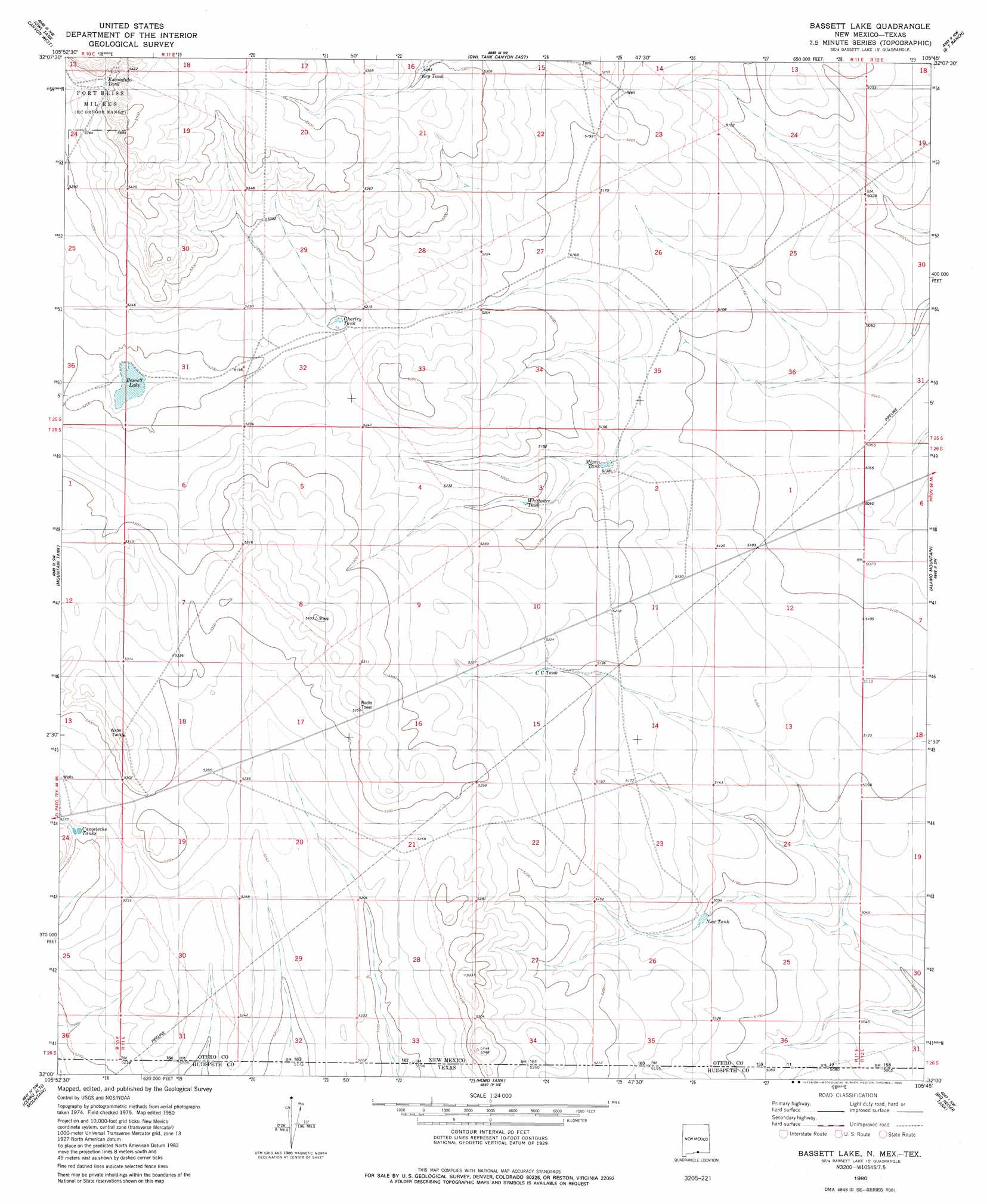
USGS Topo Quad 32105a7 - 1:24,000 scale
| Topo Map Name: | Alamo Mountain |
| USGS Topo Quad ID: | 32105a7 |
| Print Size: | ca. 21 1/4" wide x 27" high |
| Southeast Coordinates: | 32° N latitude / 105.75° W longitude |
| Map Center Coordinates: | 32.0625° N latitude / 105.8125° W longitude |
| U.S. States: | NM, TX |
| Filename: | o32105a7.jpg |
| Download Map JPG Image: | Alamo Mountain topo map 1:24,000 scale |
| Map Type: | Topographic |
| Topo Series: | 7.5´ |
| Map Scale: | 1:24,000 |
| Source of Map Images: | United States Geological Survey (USGS) |
| Alternate Map Versions: |
Bassett Lake NM 1980, updated 1980 Download PDF Buy paper map Bassett Lake NM 2010 Download PDF Buy paper map Bassett Lake NM 2013 Download PDF Buy paper map Bassett Lake NM 2017 Download PDF Buy paper map |
1:24,000 Topo Quads surrounding Alamo Mountain
Orogrande South |
Mack Tanks |
Otero Mesa South |
Stone Well |
Stockard Well |
Desert Ne |
Owl Tank Canyon West |
Owl Tank Canyon East |
B T Ranch |
Alamo Mountain Ne |
Desert Se |
Mountain Tank |
Alamo Mountain |
Alamo Mountain |
Cornudas Mountain |
Hueco Tanks |
Cerro Alto Mountain |
Hobo Tank |
Big Heiser Tank |
Sixteen Mountains |
Helms West Well |
Phone Line Canyon |
Buckhorn Draw West |
Buckhorn Draw East |
Molesworth Mesa North |
> Back to 32105a1 at 1:100,000 scale
> Back to 32104a1 at 1:250,000 scale
> Back to U.S. Topo Maps home
Alamo Mountain topo map: Gazetteer
Alamo Mountain: Lakes
Bassett Lake elevation 1580m 5183′Alamo Mountain: Reservoirs
Camaleche Tanks elevation 1589m 5213′Charley Tank elevation 1585m 5200′
Escondida Tank elevation 1645m 5396′
Key Tank elevation 1615m 5298′
Mixen Tank elevation 1568m 5144′
New Tank elevation 1555m 5101′
Whittaker Tank elevation 1580m 5183′
Alamo Mountain digital topo map on disk
Buy this Alamo Mountain topo map showing relief, roads, GPS coordinates and other geographical features, as a high-resolution digital map file on DVD: