Elwood Topo Map New Mexico
To zoom in, hover over the map of Elwood
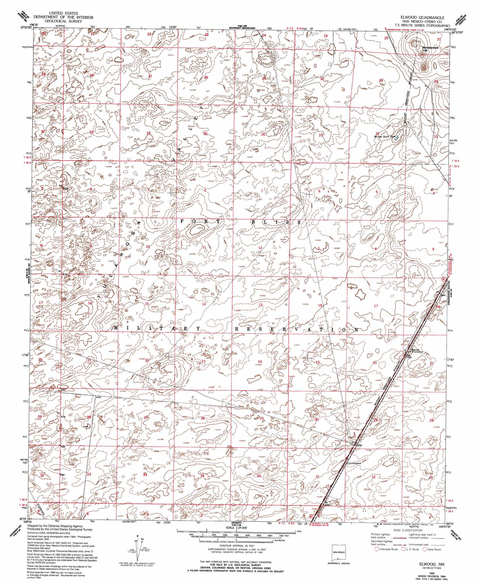
USGS Topo Quad 32106c2 - 1:24,000 scale
| Topo Map Name: | Elwood |
| USGS Topo Quad ID: | 32106c2 |
| Print Size: | ca. 21 1/4" wide x 27" high |
| Southeast Coordinates: | 32.25° N latitude / 106.125° W longitude |
| Map Center Coordinates: | 32.3125° N latitude / 106.1875° W longitude |
| U.S. State: | NM |
| Filename: | o32106c2.jpg |
| Download Map JPG Image: | Elwood topo map 1:24,000 scale |
| Map Type: | Topographic |
| Topo Series: | 7.5´ |
| Map Scale: | 1:24,000 |
| Source of Map Images: | United States Geological Survey (USGS) |
| Alternate Map Versions: |
El Wood NM 1948 Download PDF Buy paper map El Wood NM 1955, updated 1962 Download PDF Buy paper map Elwood NM 1955, updated 1986 Download PDF Buy paper map Elwood NM 1955, updated 1994 Download PDF Buy paper map Elwood NM 2010 Download PDF Buy paper map Elwood NM 2013 Download PDF Buy paper map Elwood NM 2017 Download PDF Buy paper map |
1:24,000 Topo Quads surrounding Elwood
Bennett Mountain |
Lake Lucero Se |
Tres Hermanos Sw |
Tres Hermanos Se |
Pipeline Canyon |
White Sands |
White Sands Ne |
Elephant Mountain |
Orogrande North |
Wilde Tank |
Davies Tank |
White Sands Se |
Elwood |
Orogrande South |
Mack Tanks |
Newman Nw |
Newman Ne |
Desert |
Desert Ne |
Owl Tank Canyon West |
Newman Sw |
Newman |
Desert Sw |
Desert Se |
Mountain Tank |
> Back to 32106a1 at 1:100,000 scale
> Back to 32106a1 at 1:250,000 scale
> Back to U.S. Topo Maps home
Elwood topo map: Gazetteer
Elwood: Populated Places
Elwood elevation 1249m 4097′Elwood: Reservoirs
McNew South Tank elevation 1240m 4068′Elwood: Summits
Rattlesnake Hill elevation 1291m 4235′Elwood digital topo map on disk
Buy this Elwood topo map showing relief, roads, GPS coordinates and other geographical features, as a high-resolution digital map file on DVD: