West Of Ventana Topo Map Arizona
To zoom in, hover over the map of West Of Ventana
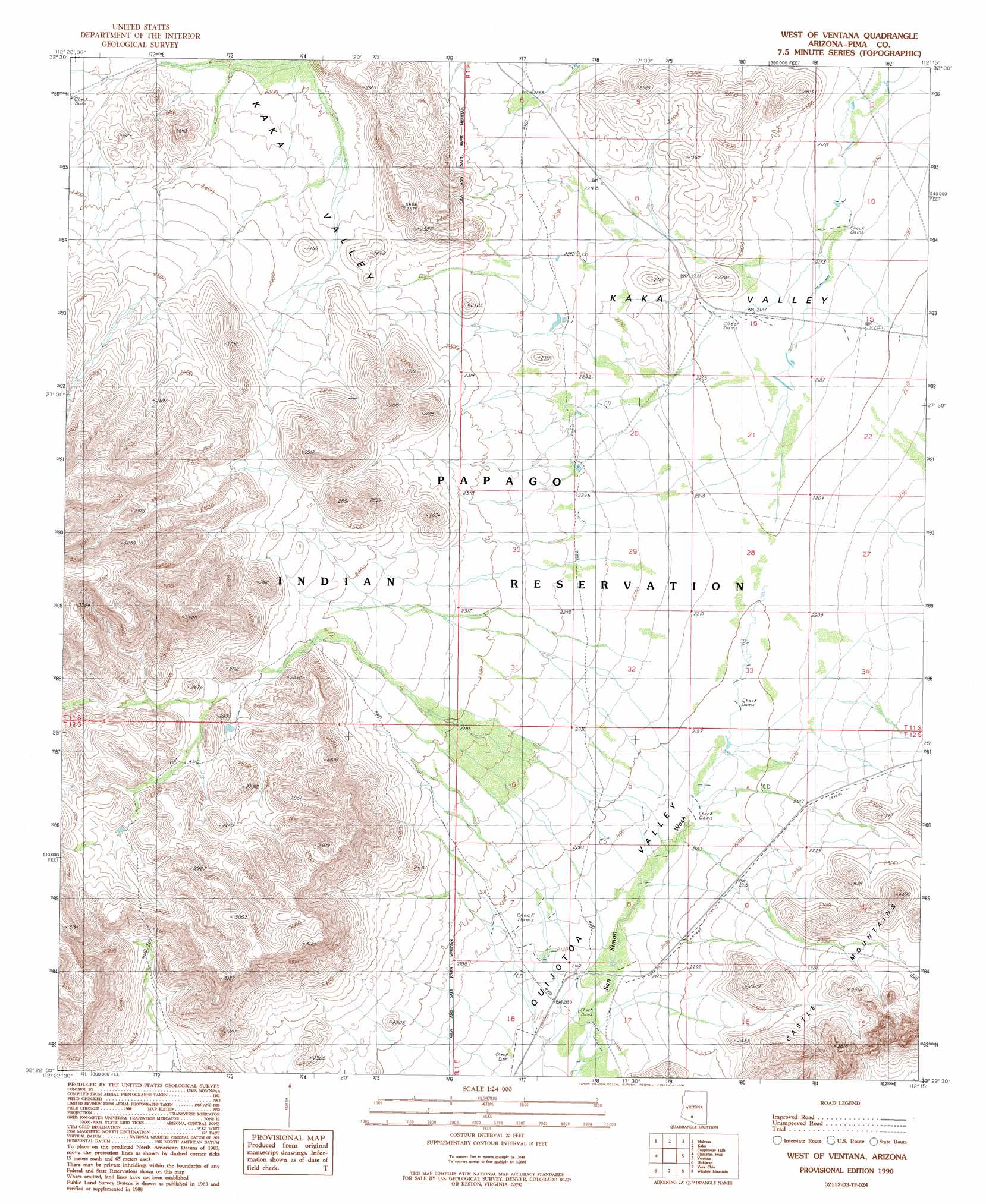
USGS Topo Quad 32112d3 - 1:24,000 scale
| Topo Map Name: | West Of Ventana |
| USGS Topo Quad ID: | 32112d3 |
| Print Size: | ca. 21 1/4" wide x 27" high |
| Southeast Coordinates: | 32.375° N latitude / 112.25° W longitude |
| Map Center Coordinates: | 32.4375° N latitude / 112.3125° W longitude |
| U.S. State: | AZ |
| Filename: | o32112d3.jpg |
| Download Map JPG Image: | West Of Ventana topo map 1:24,000 scale |
| Map Type: | Topographic |
| Topo Series: | 7.5´ |
| Map Scale: | 1:24,000 |
| Source of Map Images: | United States Geological Survey (USGS) |
| Alternate Map Versions: |
West of Ventana AZ 1990, updated 1991 Download PDF Buy paper map West of Ventana AZ 1996, updated 2003 Download PDF Buy paper map West of Ventana AZ 2011 Download PDF Buy paper map West of Ventana AZ 2014 Download PDF Buy paper map |
1:24,000 Topo Quads surrounding West Of Ventana
Platt Well |
Kaka Nw |
Johnson Well |
Little Table Top |
Vekol Mountains Ne |
Tom Thumb |
Moi Vaya |
Kaka |
Copperosity Hills |
Kohatk |
Coffeepot Mountain |
Cimarron Peak |
West Of Ventana |
Ventana |
Drew Spring Well |
Gakolik Mountains |
Hickiwan |
Vaya Chin |
Window Mountain |
Gu Achi |
Hotason Vo |
West Of Wahak Hotrontk |
Wahak Hotrontk |
Maish Vaya |
Gurli Put Vo |
> Back to 32112a1 at 1:100,000 scale
> Back to 32112a1 at 1:250,000 scale
> Back to U.S. Topo Maps home
No gazetteer data is available for the West Of Ventana topo map sheet.
West Of Ventana digital topo map on disk
Buy this West Of Ventana topo map showing relief, roads, GPS coordinates and other geographical features, as a high-resolution digital map file on DVD: