Mesquite Jim Well Topo Map Arizona
To zoom in, hover over the map of Mesquite Jim Well
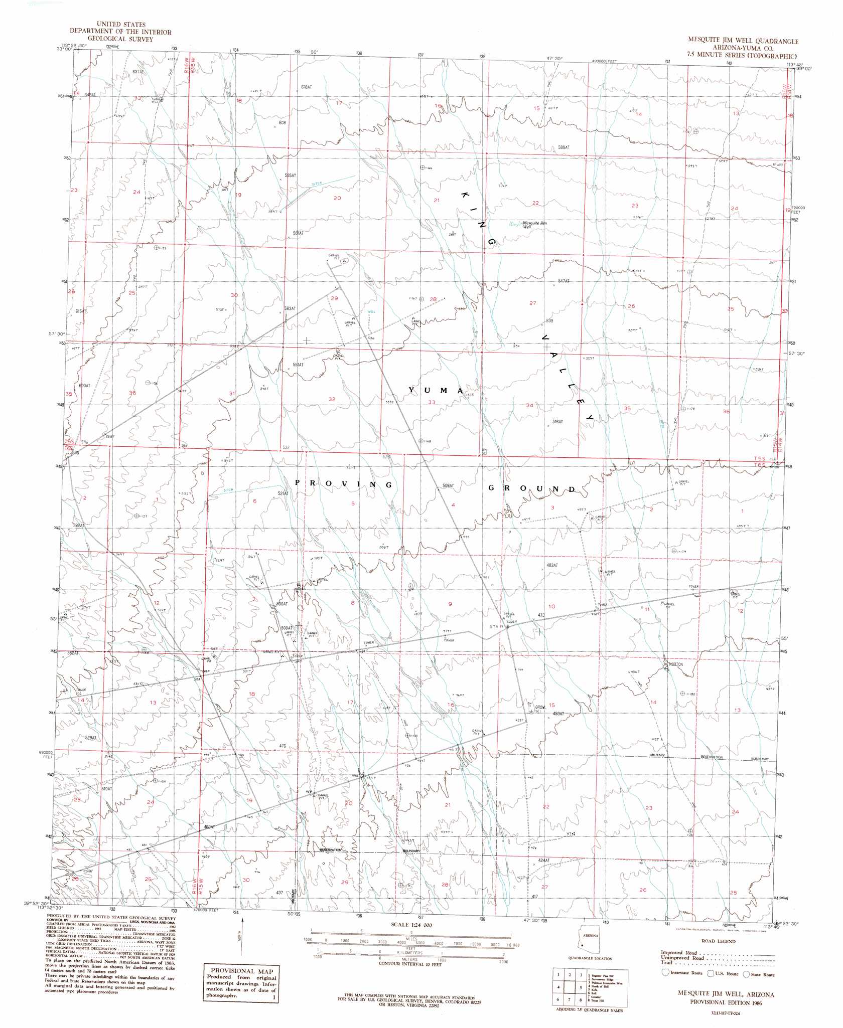
USGS Topo Quad 32113h7 - 1:24,000 scale
| Topo Map Name: | Mesquite Jim Well |
| USGS Topo Quad ID: | 32113h7 |
| Print Size: | ca. 21 1/4" wide x 27" high |
| Southeast Coordinates: | 32.875° N latitude / 113.75° W longitude |
| Map Center Coordinates: | 32.9375° N latitude / 113.8125° W longitude |
| U.S. State: | AZ |
| Filename: | o32113h7.jpg |
| Download Map JPG Image: | Mesquite Jim Well topo map 1:24,000 scale |
| Map Type: | Topographic |
| Topo Series: | 7.5´ |
| Map Scale: | 1:24,000 |
| Source of Map Images: | United States Geological Survey (USGS) |
| Alternate Map Versions: |
Mesquite Jim Well AZ 1986, updated 1986 Download PDF Buy paper map Mesquite Jim Well AZ 2011 Download PDF Buy paper map Mesquite Jim Well AZ 2014 Download PDF Buy paper map |
1:24,000 Topo Quads surrounding Mesquite Jim Well
Kofa Deep Well |
Charlie Died Tank |
Engesser Pass |
Palomas Mountains Nw |
Palomas Mountains Ne |
Slumgullion Pass |
Engesser Pass Sw |
Neversweat Ridge |
Palomas Mountains Sw |
Palomas Mountains Se |
Salton Tanks |
North Of Roll |
Mesquite Jim Well |
Kofa |
Horn |
Red Bluff Mountain East |
Roll |
Growler |
Texas Hill |
Dateland |
Wellton Mesa |
Tacna |
Mohawk |
Mohawk Mountains Nw |
Hohawk Mountains Ne |
> Back to 32113e1 at 1:100,000 scale
> Back to 32112a1 at 1:250,000 scale
> Back to U.S. Topo Maps home
Mesquite Jim Well topo map: Gazetteer
Mesquite Jim Well: Wells
Mesquite Jim Well elevation 172m 564′Renner Well elevation 166m 544′
Mesquite Jim Well digital topo map on disk
Buy this Mesquite Jim Well topo map showing relief, roads, GPS coordinates and other geographical features, as a high-resolution digital map file on DVD: