Raven Butte Topo Map Arizona
To zoom in, hover over the map of Raven Butte
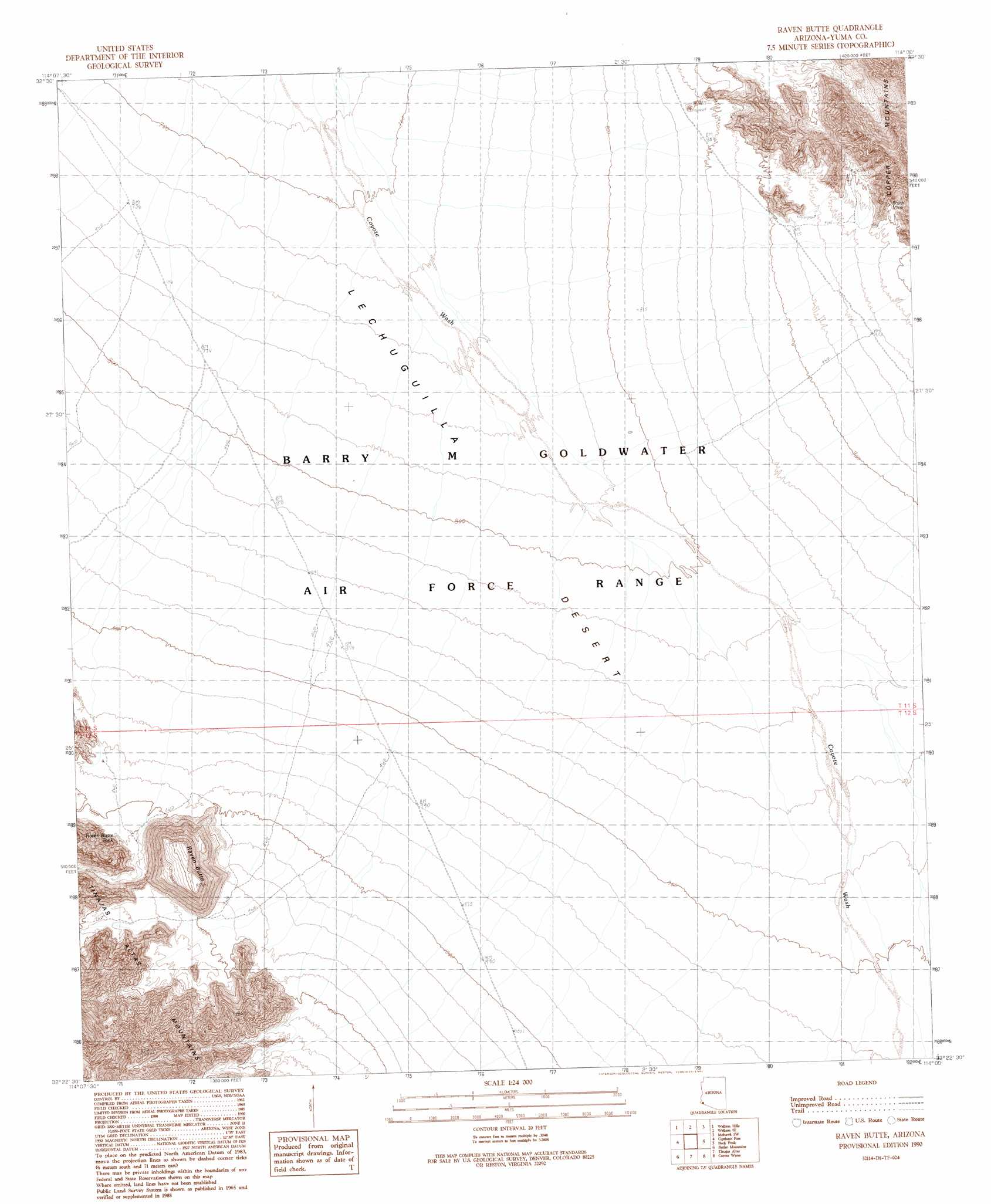
USGS Topo Quad 32114d1 - 1:24,000 scale
| Topo Map Name: | Raven Butte |
| USGS Topo Quad ID: | 32114d1 |
| Print Size: | ca. 21 1/4" wide x 27" high |
| Southeast Coordinates: | 32.375° N latitude / 114° W longitude |
| Map Center Coordinates: | 32.4375° N latitude / 114.0625° W longitude |
| U.S. State: | AZ |
| Filename: | o32114d1.jpg |
| Download Map JPG Image: | Raven Butte topo map 1:24,000 scale |
| Map Type: | Topographic |
| Topo Series: | 7.5´ |
| Map Scale: | 1:24,000 |
| Source of Map Images: | United States Geological Survey (USGS) |
| Alternate Map Versions: |
Raven Butte AZ 1990, updated 1991 Download PDF Buy paper map Raven Butte AZ 1997, updated 2000 Download PDF Buy paper map Raven Butte AZ 2011 Download PDF Buy paper map Raven Butte AZ 2014 Download PDF Buy paper map |
1:24,000 Topo Quads surrounding Raven Butte
Ligurta |
Wellton |
Wellton Mesa |
Tacna |
Mohawk |
Fortuna Mine |
Wellton Hills |
Wellton Se |
Mohawk Sw |
Mohawk Se |
Vopoki Ridge |
Cipriano Pass |
Raven Butte |
Buck Peak |
East Of Buck Peak |
Vopoki Ridge Se |
Butler Mountains |
Tinajas Altas |
Coyote Water |
Cabeza Prieta Peak |
Sierra De La Lechuguilla |
Tule Mountains |
> Back to 32114a1 at 1:100,000 scale
> Back to 32114a1 at 1:250,000 scale
> Back to U.S. Topo Maps home
Raven Butte topo map: Gazetteer
Raven Butte: Mines
Smith Mine elevation 348m 1141′Raven Butte: Reservoirs
Raven Butte Tank elevation 332m 1089′Raven Butte: Summits
Raven Butte elevation 525m 1722′Raven Butte digital topo map on disk
Buy this Raven Butte topo map showing relief, roads, GPS coordinates and other geographical features, as a high-resolution digital map file on DVD: