Red Bluff Mountain East Topo Map Arizona
To zoom in, hover over the map of Red Bluff Mountain East
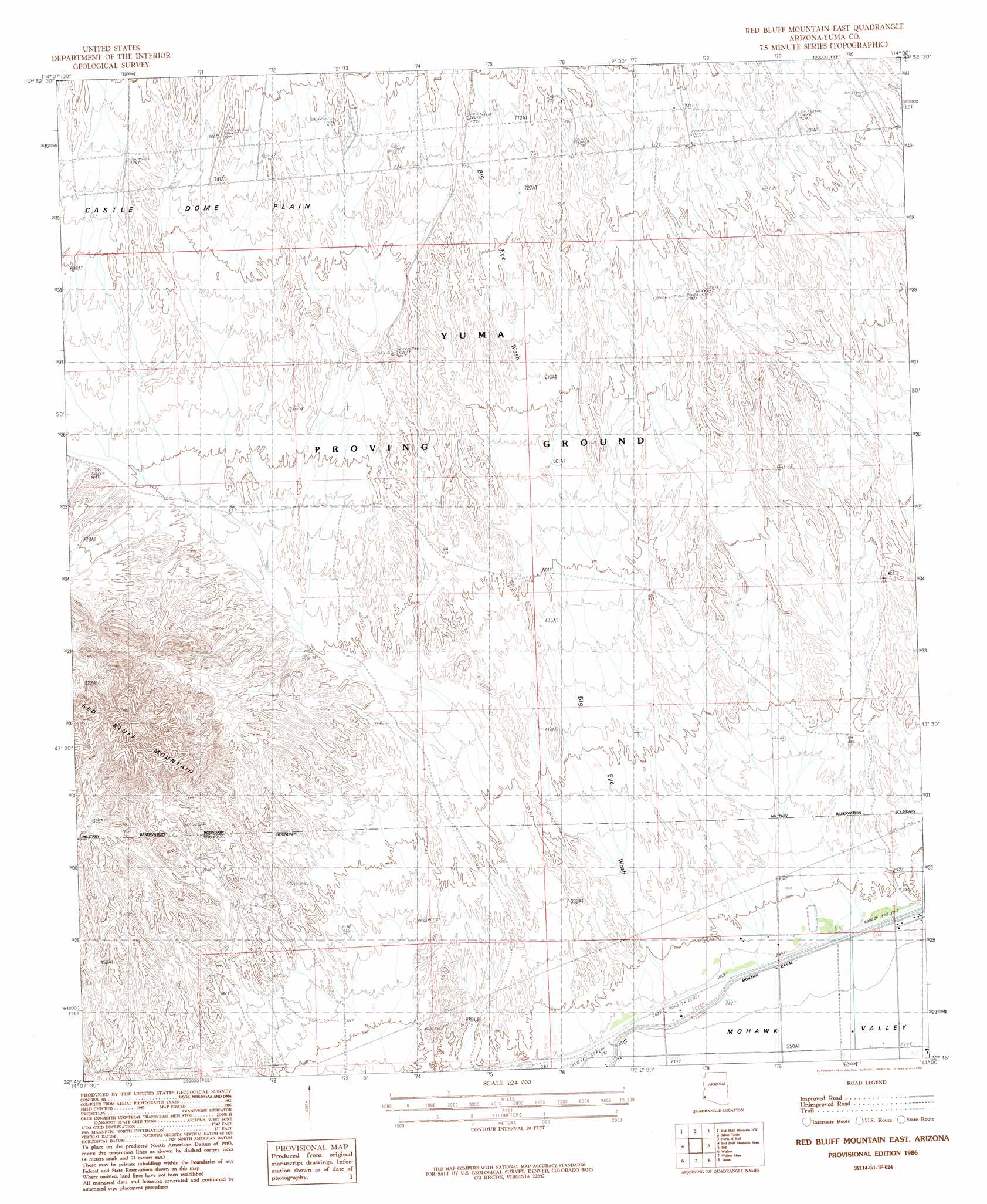
USGS Topo Quad 32114g1 - 1:24,000 scale
| Topo Map Name: | Red Bluff Mountain East |
| USGS Topo Quad ID: | 32114g1 |
| Print Size: | ca. 21 1/4" wide x 27" high |
| Southeast Coordinates: | 32.75° N latitude / 114° W longitude |
| Map Center Coordinates: | 32.8125° N latitude / 114.0625° W longitude |
| U.S. State: | AZ |
| Filename: | o32114g1.jpg |
| Download Map JPG Image: | Red Bluff Mountain East topo map 1:24,000 scale |
| Map Type: | Topographic |
| Topo Series: | 7.5´ |
| Map Scale: | 1:24,000 |
| Source of Map Images: | United States Geological Survey (USGS) |
| Alternate Map Versions: |
Red Bluff Mountain East AZ 1986, updated 1986 Download PDF Buy paper map Red Bluff Mountain East AZ 2011 Download PDF Buy paper map Red Bluff Mountain East AZ 2014 Download PDF Buy paper map |
1:24,000 Topo Quads surrounding Red Bluff Mountain East
Middle Mountains North |
Castle Dome Peak |
Slumgullion Pass |
Engesser Pass Sw |
Neversweat Ridge |
Middle Mountains South |
Red Bluff Mountain Nw |
Salton Tanks |
North Of Roll |
Mesquite Jim Well |
Dome |
Red Bluff Mountain West |
Red Bluff Mountain East |
Roll |
Growler |
Ligurta |
Wellton |
Wellton Mesa |
Tacna |
Mohawk |
Fortuna Mine |
Wellton Hills |
Wellton Se |
Mohawk Sw |
Mohawk Se |
> Back to 32114e1 at 1:100,000 scale
> Back to 32114a1 at 1:250,000 scale
> Back to U.S. Topo Maps home
Red Bluff Mountain East topo map: Gazetteer
Red Bluff Mountain East: Streams
Big Eye Wash elevation 90m 295′Red Bluff Mountain East digital topo map on disk
Buy this Red Bluff Mountain East topo map showing relief, roads, GPS coordinates and other geographical features, as a high-resolution digital map file on DVD: