Glamis Sw Topo Map California
To zoom in, hover over the map of Glamis Sw
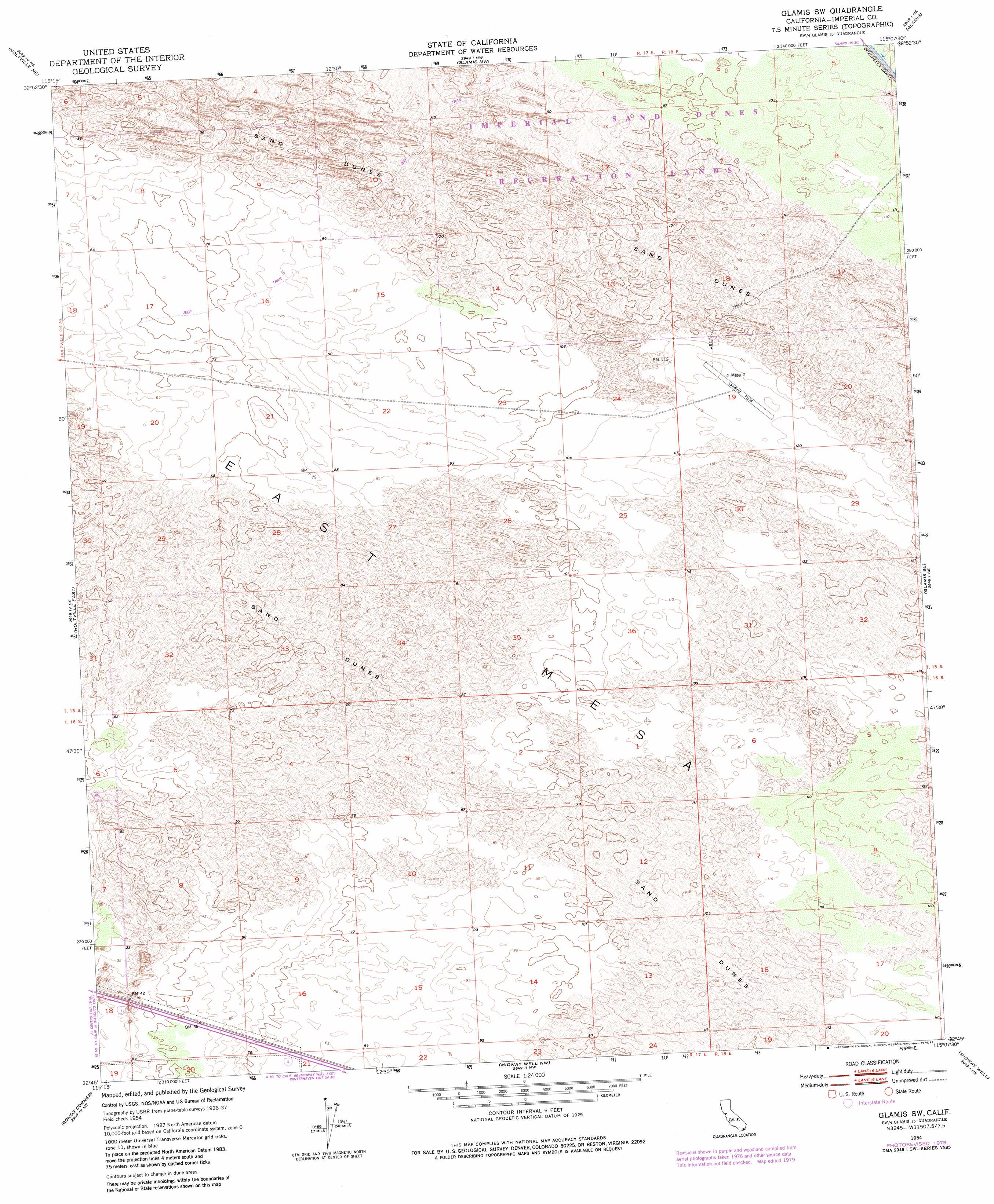
USGS Topo Quad 32115g2 - 1:24,000 scale
| Topo Map Name: | Glamis Sw |
| USGS Topo Quad ID: | 32115g2 |
| Print Size: | ca. 21 1/4" wide x 27" high |
| Southeast Coordinates: | 32.75° N latitude / 115.125° W longitude |
| Map Center Coordinates: | 32.8125° N latitude / 115.1875° W longitude |
| U.S. State: | CA |
| Filename: | o32115g2.jpg |
| Download Map JPG Image: | Glamis Sw topo map 1:24,000 scale |
| Map Type: | Topographic |
| Topo Series: | 7.5´ |
| Map Scale: | 1:24,000 |
| Source of Map Images: | United States Geological Survey (USGS) |
| Alternate Map Versions: |
Glamis SW CA 1954, updated 1955 Download PDF Buy paper map Glamis SW CA 1954, updated 1975 Download PDF Buy paper map Glamis SW CA 1954, updated 1979 Download PDF Buy paper map Glamis SW CA 2012 Download PDF Buy paper map Glamis SW CA 2015 Download PDF Buy paper map |
1:24,000 Topo Quads surrounding Glamis Sw
Wiest |
Amos |
Acolita |
East Of Acolita |
Gables Wash |
Alamorio |
Holtville Ne |
Glamis Nw |
Glamis |
Clyde |
Holtville West |
Holtville East |
Glamis Sw |
Glamis Se |
Cactus |
Calexico |
Bonds Corner |
Midway Well Nw |
Midway Well |
Grays Well |
> Back to 32115e1 at 1:100,000 scale
> Back to 32114a1 at 1:250,000 scale
> Back to U.S. Topo Maps home
No gazetteer data is available for the Glamis Sw topo map sheet.
Glamis Sw digital topo map on disk
Buy this Glamis Sw topo map showing relief, roads, GPS coordinates and other geographical features, as a high-resolution digital map file on DVD: