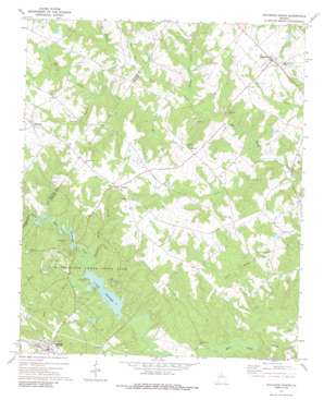
Rutledge North Topo Map Georgia
To zoom in, hover over the map of Rutledge North
USGS Topo Quad 33083f5 - 1:24,000 scale
| Topo Map Name: | Rutledge North |
| USGS Topo Quad ID: | 33083f5 |
| Print Size: | ca. 21 1/4" wide x 27" high |
| Southeast Coordinates: | 33.625° N latitude / 83.5° W longitude |
| Map Center Coordinates: | 33.6875° N latitude / 83.5625° W longitude |
| U.S. State: | GA |
| Filename: | o33083f5.jpg |
| Download Map JPG Image: | Rutledge North topo map 1:24,000 scale |
| Map Type: | Topographic |
| Topo Series: | 7.5´ |
| Map Scale: | 1:24,000 |
| Source of Map Images: | United States Geological Survey (USGS) |
| Alternate Map Versions: |
Rutledge North GA 1971, updated 1974 Download PDF Buy paper map Rutledge North GA 1971, updated 1987 Download PDF Buy paper map Rutledge North GA 2011 Download PDF Buy paper map Rutledge North GA 2014 Download PDF Buy paper map |
1:24,000 Topo Quads surrounding Rutledge North
> Back to 33083e1 at 1:100,000 scale
> Back to 33082a1 at 1:250,000 scale
> Back to U.S. Topo Maps home
Rutledge North topo map: Gazetteer
Rutledge North: Airports
Klockner Airport elevation 222m 728′Taylor Field elevation 212m 695′
Rutledge North: Bridges
Fambro Bridge elevation 165m 541′Rutledge North: Dams
Adcock Dam elevation 233m 764′Callaway Dam elevation 204m 669′
Lake Brantley Dam elevation 177m 580′
Lake Rutledge Dam elevation 165m 541′
Mooney Dam elevation 179m 587′
Rutledge North: Parks
Hard Labor Creek State Park elevation 180m 590′Rutledge North: Populated Places
Bostwick elevation 232m 761′Ebenezer elevation 244m 800′
Fairplay elevation 238m 780′
Malcolms Store elevation 227m 744′
Rutledge elevation 217m 711′
Sandy Creek elevation 219m 718′
Rutledge North: Reservoirs
Adcock Lake elevation 233m 764′Callaway Lake elevation 204m 669′
Lake Brantley elevation 177m 580′
Lake Rutledge elevation 165m 541′
Mooney Lake elevation 179m 587′
Rutledge North: Streams
Green Branch elevation 201m 659′Hester Branch elevation 189m 620′
Ivey Branch elevation 195m 639′
Little Creek elevation 171m 561′
Little Sandy Creek elevation 183m 600′
Mountain Hill Branch elevation 171m 561′
Peters Branch elevation 195m 639′
Rocky Creek elevation 174m 570′
Still Branch elevation 169m 554′
Turkey Creek elevation 189m 620′
Rutledge North digital topo map on disk
Buy this Rutledge North topo map showing relief, roads, GPS coordinates and other geographical features, as a high-resolution digital map file on DVD:
South Carolina, Western North Carolina & Northeastern Georgia
Buy digital topo maps: South Carolina, Western North Carolina & Northeastern Georgia


