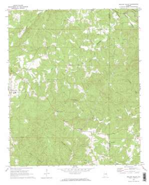
Mellow Valley Topo Map Alabama
To zoom in, hover over the map of Mellow Valley
USGS Topo Quad 33085b6 - 1:24,000 scale
| Topo Map Name: | Mellow Valley |
| USGS Topo Quad ID: | 33085b6 |
| Print Size: | ca. 21 1/4" wide x 27" high |
| Southeast Coordinates: | 33.125° N latitude / 85.625° W longitude |
| Map Center Coordinates: | 33.1875° N latitude / 85.6875° W longitude |
| U.S. State: | AL |
| Filename: | o33085b6.jpg |
| Download Map JPG Image: | Mellow Valley topo map 1:24,000 scale |
| Map Type: | Topographic |
| Topo Series: | 7.5´ |
| Map Scale: | 1:24,000 |
| Source of Map Images: | United States Geological Survey (USGS) |
| Alternate Map Versions: |
Mellow Valley AL 1969, updated 1973 Download PDF Buy paper map Mellow Valley AL 1969, updated 1973 Download PDF Buy paper map Mellow Valley AL 2011 Download PDF Buy paper map Mellow Valley AL 2014 Download PDF Buy paper map |
1:24,000 Topo Quads surrounding Mellow Valley
> Back to 33085a1 at 1:100,000 scale
> Back to 33084a1 at 1:250,000 scale
> Back to U.S. Topo Maps home
Mellow Valley topo map: Gazetteer
Mellow Valley: Dams
Crooked Creek Watershed Dam Number 16 elevation 238m 780′Mellow Valley: Mines
Amason Prospect elevation 251m 823′Carter Prospect elevation 259m 849′
Dawkins Prospect elevation 245m 803′
Farrar-Wallace Prospect elevation 244m 800′
Knights Mill Prospect elevation 225m 738′
Manning Placer Mine elevation 224m 734′
Mitchell Prospect Number One elevation 220m 721′
Walker Prospect elevation 235m 770′
Mellow Valley: Populated Places
Cooley Crossroads elevation 361m 1184′Corinth elevation 272m 892′
Mellow Valley elevation 279m 915′
Sikesville elevation 298m 977′
Mellow Valley: Post Offices
Bluff Spring Post Office (historical) elevation 360m 1181′Mellow Valley: Reservoirs
Carter Lake elevation 238m 780′Mellow Valley: Ridges
Evan Ridge elevation 380m 1246′Mellow Valley: Streams
Dinner Creek elevation 230m 754′Hall Creek elevation 225m 738′
Little Mississippi Creek elevation 239m 784′
Wesobulga Creek elevation 212m 695′
White Oak Creek elevation 219m 718′
Mellow Valley: Summits
White Oak Mountain elevation 373m 1223′Mellow Valley digital topo map on disk
Buy this Mellow Valley topo map showing relief, roads, GPS coordinates and other geographical features, as a high-resolution digital map file on DVD:


