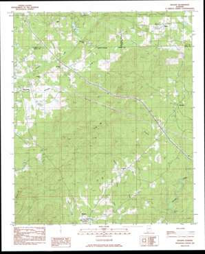
Hollins Topo Map Alabama
To zoom in, hover over the map of Hollins
USGS Topo Quad 33086a2 - 1:24,000 scale
| Topo Map Name: | Hollins |
| USGS Topo Quad ID: | 33086a2 |
| Print Size: | ca. 21 1/4" wide x 27" high |
| Southeast Coordinates: | 33° N latitude / 86.125° W longitude |
| Map Center Coordinates: | 33.0625° N latitude / 86.1875° W longitude |
| U.S. State: | AL |
| Filename: | o33086a2.jpg |
| Download Map JPG Image: | Hollins topo map 1:24,000 scale |
| Map Type: | Topographic |
| Topo Series: | 7.5´ |
| Map Scale: | 1:24,000 |
| Source of Map Images: | United States Geological Survey (USGS) |
| Alternate Map Versions: |
Goodwater SE AL 1975, updated 1977 Download PDF Buy paper map Hollins AL 1984, updated 1984 Download PDF Buy paper map Hollins AL 2001, updated 2004 Download PDF Buy paper map Hollins AL 2011 Download PDF Buy paper map Hollins AL 2014 Download PDF Buy paper map |
| FStopo: | US Forest Service topo Hollins is available: Download FStopo PDF Download FStopo TIF |
1:24,000 Topo Quads surrounding Hollins
> Back to 33086a1 at 1:100,000 scale
> Back to 33086a1 at 1:250,000 scale
> Back to U.S. Topo Maps home
Hollins topo map: Gazetteer
Hollins: Dams
Brown Dam elevation 229m 751′C W Gaston Dam elevation 205m 672′
Hollins: Gaps
Deep Cut Gap elevation 231m 757′Tanyard Hill Gap elevation 249m 816′
Hollins: Populated Places
Hanover elevation 240m 787′Hollins elevation 252m 826′
Holman Crossroads elevation 232m 761′
Lake Joy elevation 244m 800′
Mount Olive elevation 251m 823′
Overbrook elevation 240m 787′
Stewartville elevation 220m 721′
Warm Springs elevation 250m 820′
Hollins: Reservoirs
Lake Joy elevation 229m 751′Hollins: Springs
Wiches Spring elevation 231m 757′Hollins: Streams
Matthews Creek elevation 204m 669′Ray Creek elevation 224m 734′
Topopkin Creek elevation 171m 561′
Hollins: Summits
Locust Mountain elevation 374m 1227′Tanyard Hill elevation 264m 866′
Terrapin Hill elevation 374m 1227′
Hollins digital topo map on disk
Buy this Hollins topo map showing relief, roads, GPS coordinates and other geographical features, as a high-resolution digital map file on DVD:


