Cunningham Topo Map Alabama
To zoom in, hover over the map of Cunningham
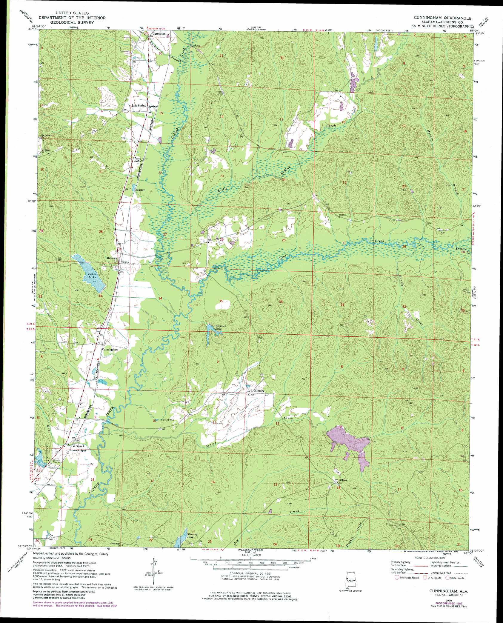
USGS Topo Quad 33088b1 - 1:24,000 scale
| Topo Map Name: | Cunningham |
| USGS Topo Quad ID: | 33088b1 |
| Print Size: | ca. 21 1/4" wide x 27" high |
| Southeast Coordinates: | 33.125° N latitude / 88° W longitude |
| Map Center Coordinates: | 33.1875° N latitude / 88.0625° W longitude |
| U.S. State: | AL |
| Filename: | o33088b1.jpg |
| Download Map JPG Image: | Cunningham topo map 1:24,000 scale |
| Map Type: | Topographic |
| Topo Series: | 7.5´ |
| Map Scale: | 1:24,000 |
| Source of Map Images: | United States Geological Survey (USGS) |
| Alternate Map Versions: |
Cunningham AL 1970, updated 1972 Download PDF Buy paper map Cunningham AL 1970, updated 1982 Download PDF Buy paper map Cunningham AL 2011 Download PDF Buy paper map Cunningham AL 2014 Download PDF Buy paper map |
1:24,000 Topo Quads surrounding Cunningham
New Hope |
Ethelsville |
Reform |
Palmetto |
Brownville |
Forreston |
Reform Sw |
Carrollton |
Gordo |
Elrod |
Pickensville |
Aliceville North |
Cunningham |
Kirk |
Romulus |
Dancy |
Aliceville South |
Pleasant Ridge |
Mantua |
Ralph |
Panola |
Warsaw |
West Greene |
Union |
Knoxville |
> Back to 33088a1 at 1:100,000 scale
> Back to 33088a1 at 1:250,000 scale
> Back to U.S. Topo Maps home
Cunningham topo map: Gazetteer
Cunningham: Dams
Hugh Pate Dam elevation 62m 203′P M Johnston Dam Number One elevation 76m 249′
P M Johnston Dam Number Two elevation 69m 226′
Windles Lake Dam elevation 58m 190′
Cunningham: Populated Places
Beasley elevation 65m 213′Cunningham elevation 55m 180′
Dillburg elevation 63m 206′
Hickory elevation 67m 219′
Lois Spring elevation 57m 187′
Olney elevation 88m 288′
Stevens elevation 43m 141′
Cunningham: Reservoirs
P M Johnston Lake Number One elevation 76m 249′P M Johnston Lake Number Two elevation 69m 226′
Pates Lake elevation 62m 203′
Windles Lake elevation 56m 183′
Cunningham: Streams
Bear Creek elevation 49m 160′Knox Branch elevation 43m 141′
Little Lubbub Creek elevation 49m 160′
Monkey Branch elevation 55m 180′
Monkey Creek elevation 54m 177′
Puckett Branch elevation 55m 180′
Seneca Creek elevation 43m 141′
Sneads Creek elevation 54m 177′
Cunningham digital topo map on disk
Buy this Cunningham topo map showing relief, roads, GPS coordinates and other geographical features, as a high-resolution digital map file on DVD: