Buena Vista Topo Map Mississippi
To zoom in, hover over the map of Buena Vista
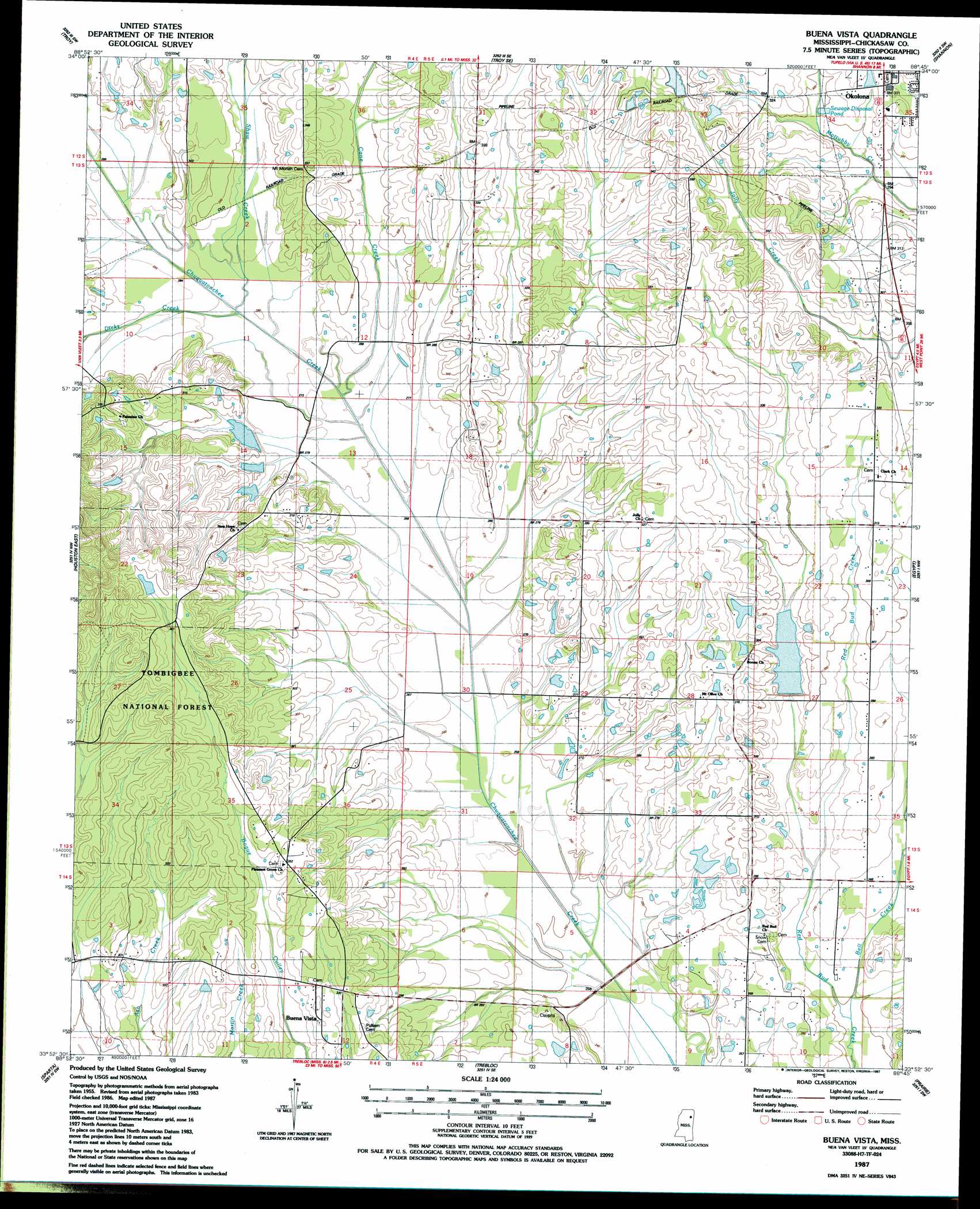
USGS Topo Quad 33088h7 - 1:24,000 scale
| Topo Map Name: | Buena Vista |
| USGS Topo Quad ID: | 33088h7 |
| Print Size: | ca. 21 1/4" wide x 27" high |
| Southeast Coordinates: | 33.875° N latitude / 88.75° W longitude |
| Map Center Coordinates: | 33.9375° N latitude / 88.8125° W longitude |
| U.S. State: | MS |
| Filename: | o33088h7.jpg |
| Download Map JPG Image: | Buena Vista topo map 1:24,000 scale |
| Map Type: | Topographic |
| Topo Series: | 7.5´ |
| Map Scale: | 1:24,000 |
| Source of Map Images: | United States Geological Survey (USGS) |
| Alternate Map Versions: |
Buena Vista MS 1987, updated 1987 Download PDF Buy paper map Buena Vista MS 2000, updated 2002 Download PDF Buy paper map Buena Vista MS 2012 Download PDF Buy paper map Buena Vista MS 2015 Download PDF Buy paper map |
| FStopo: | US Forest Service topo Buena Vista is available: Download FStopo PDF Download FStopo TIF |
1:24,000 Topo Quads surrounding Buena Vista
Southwest Pontotoc |
Southeast Pontotoc |
Bissell |
Verona |
Evergreen |
Houlka |
Troy |
Troy Se |
Shannon |
Nettleton |
Houston West |
Houston East |
Buena Vista |
Egypt |
Wren |
Woodland |
Sparta |
Trebloc |
Prairie |
Aberdeen |
Mantee |
Montpelier |
Palo Alto |
Muldon |
Strong |
> Back to 33088e1 at 1:100,000 scale
> Back to 33088a1 at 1:250,000 scale
> Back to U.S. Topo Maps home
Buena Vista topo map: Gazetteer
Buena Vista: Areas
Egypt Prairie elevation 85m 278′Buena Vista: Dams
Anderson Lake Dam elevation 122m 400′Chuquatonchee Creek Structure 13 Dam elevation 84m 275′
Chuquatonchee Creek Structure 17 Dam elevation 89m 291′
Gregory Lake Dam elevation 91m 298′
Jolly Lake Dam elevation 113m 370′
Schwench Lake Dam elevation 95m 311′
Buena Vista: Populated Places
Bacon (historical) elevation 98m 321′Buena Vista elevation 104m 341′
Chalk Bluff (historical) elevation 93m 305′
Jolly elevation 100m 328′
Newport (historical) elevation 81m 265′
Pikeville (historical) elevation 88m 288′
Buena Vista: Streams
Bell Creek elevation 75m 246′Cane Creek elevation 82m 269′
Dicks Creek elevation 83m 272′
Shaw Creek elevation 84m 275′
Buena Vista digital topo map on disk
Buy this Buena Vista topo map showing relief, roads, GPS coordinates and other geographical features, as a high-resolution digital map file on DVD: