Midnight Topo Map Mississippi
To zoom in, hover over the map of Midnight
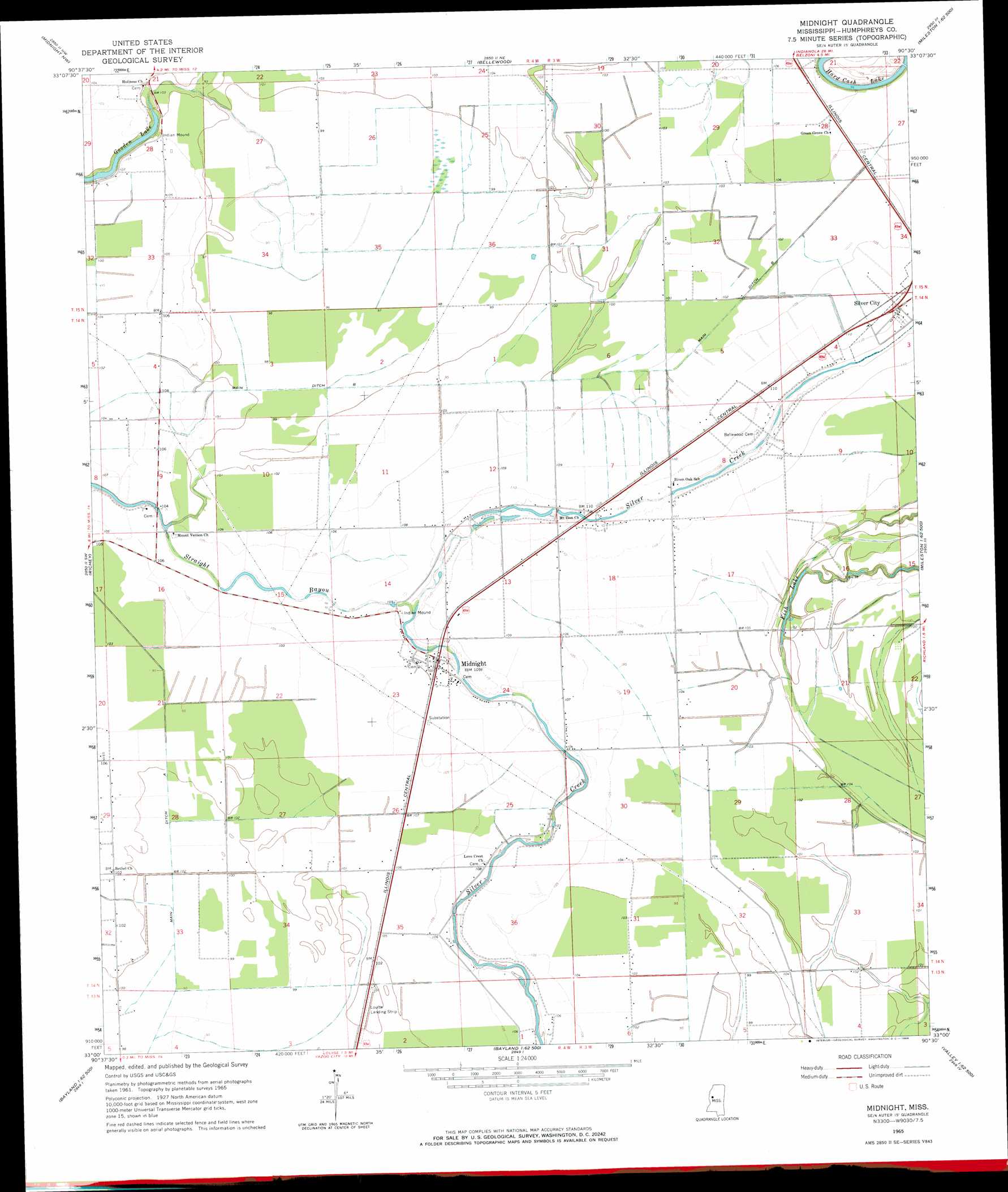
USGS Topo Quad 33090a5 - 1:24,000 scale
| Topo Map Name: | Midnight |
| USGS Topo Quad ID: | 33090a5 |
| Print Size: | ca. 21 1/4" wide x 27" high |
| Southeast Coordinates: | 33° N latitude / 90.5° W longitude |
| Map Center Coordinates: | 33.0625° N latitude / 90.5625° W longitude |
| U.S. State: | MS |
| Filename: | o33090a5.jpg |
| Download Map JPG Image: | Midnight topo map 1:24,000 scale |
| Map Type: | Topographic |
| Topo Series: | 7.5´ |
| Map Scale: | 1:24,000 |
| Source of Map Images: | United States Geological Survey (USGS) |
| Alternate Map Versions: |
Midnight MS 1965, updated 1966 Download PDF Buy paper map Midnight MS 2012 Download PDF Buy paper map Midnight MS 2015 Download PDF Buy paper map |
1:24,000 Topo Quads surrounding Midnight
Tribbett |
Kinlock |
Inverness |
Swiftown |
Montgomery |
Hollandale |
Midnight Nw |
Bellewood |
Belzoni |
Marcella |
Delta City |
Richey |
Midnight |
Silver City |
Thornton |
Rolling Fork East |
Bayland |
Louise |
Carter |
Eden |
Red Rock |
Holly Bluff |
Bayland Se |
Yazoo City |
Benton |
> Back to 33090a1 at 1:100,000 scale
> Back to 33090a1 at 1:250,000 scale
> Back to U.S. Topo Maps home
Midnight topo map: Gazetteer
Midnight: Canals
Main Ditch A elevation 28m 91′Main Ditch B elevation 29m 95′
Midnight: Dams
D E C Farms Pond Dam elevation 30m 98′Hall Barret Lake Dam elevation 30m 98′
Kiker Lake Dam elevation 30m 98′
Pickell Lake Dam elevation 30m 98′
Sunflower Lagoon Dam elevation 31m 101′
Midnight: Lakes
Fish Lake elevation 30m 98′Gooden Lake elevation 26m 85′
Lake Loc (historical) elevation 31m 101′
Midnight: Populated Places
Midnight elevation 34m 111′Romeo elevation 32m 104′
Midnight digital topo map on disk
Buy this Midnight topo map showing relief, roads, GPS coordinates and other geographical features, as a high-resolution digital map file on DVD: