Sulphur Springs Se Topo Map Texas
To zoom in, hover over the map of Sulphur Springs Se
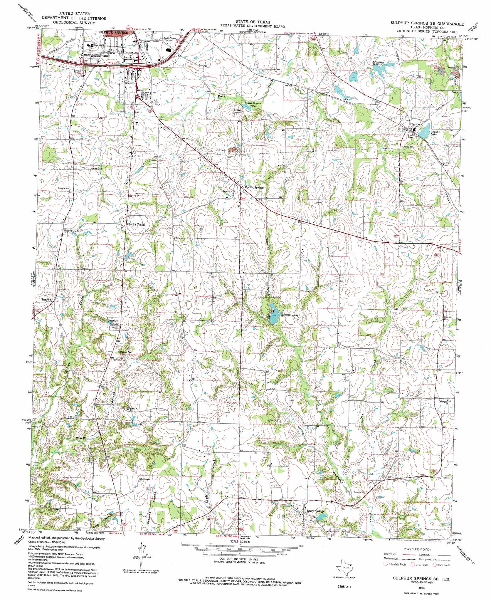
USGS Topo Quad 33095a5 - 1:24,000 scale
| Topo Map Name: | Sulphur Springs Se |
| USGS Topo Quad ID: | 33095a5 |
| Print Size: | ca. 21 1/4" wide x 27" high |
| Southeast Coordinates: | 33° N latitude / 95.5° W longitude |
| Map Center Coordinates: | 33.0625° N latitude / 95.5625° W longitude |
| U.S. State: | TX |
| Filename: | o33095a5.jpg |
| Download Map JPG Image: | Sulphur Springs Se topo map 1:24,000 scale |
| Map Type: | Topographic |
| Topo Series: | 7.5´ |
| Map Scale: | 1:24,000 |
| Source of Map Images: | United States Geological Survey (USGS) |
| Alternate Map Versions: |
Sulphur Springs SE TX 1964, updated 1968 Download PDF Buy paper map Sulphur Springs SE TX 1964, updated 1992 Download PDF Buy paper map Sulphur Springs SE TX 2010 Download PDF Buy paper map Sulphur Springs SE TX 2012 Download PDF Buy paper map Sulphur Springs SE TX 2016 Download PDF Buy paper map |
1:24,000 Topo Quads surrounding Sulphur Springs Se
Klondike |
Cooper South |
Tira |
Sulphur Bluff |
Mitchell Creek |
Cumby |
Gafford Chapel |
Sulphur Springs |
Dike |
Saltillo |
Miller Grove |
Brashear |
Sulphur Springs Se |
Como |
Purley |
Emory North |
Arbala |
Yantis |
Pleasant Grove |
Winnsboro |
Emory South |
Alba |
Calvary |
Quitman |
Cartwright |
> Back to 33095a1 at 1:100,000 scale
> Back to 33094a1 at 1:250,000 scale
> Back to U.S. Topo Maps home
Sulphur Springs Se topo map: Gazetteer
Sulphur Springs Se: Dams
Berry Lake Dam elevation 143m 469′Crush Lake Dam elevation 152m 498′
Elberta Lake Dam elevation 146m 479′
Jennings Lake Dam elevation 146m 479′
Steward Lake Dam elevation 139m 456′
Sulphur Springs Se: Populated Places
Greenpond elevation 162m 531′Martin Springs elevation 166m 544′
Reilly Springs elevation 147m 482′
Tazewell elevation 158m 518′
Thermo elevation 158m 518′
Union elevation 157m 515′
Sulphur Springs Se: Reservoirs
Alberta Lake elevation 144m 472′Berry Lake elevation 143m 469′
Crush Lake elevation 153m 501′
Elberta Lake elevation 146m 479′
Jennings Lake elevation 146m 479′
Stewart Lake elevation 139m 456′
Sulphur Springs Se: Streams
Dry Creek elevation 131m 429′Sulphur Springs Se digital topo map on disk
Buy this Sulphur Springs Se topo map showing relief, roads, GPS coordinates and other geographical features, as a high-resolution digital map file on DVD: