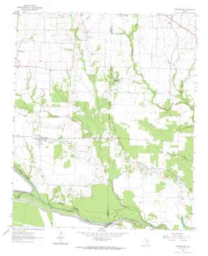
Cunningham Topo Map Texas
To zoom in, hover over the map of Cunningham
USGS Topo Quad 33095d3 - 1:24,000 scale
| Topo Map Name: | Cunningham |
| USGS Topo Quad ID: | 33095d3 |
| Print Size: | ca. 21 1/4" wide x 27" high |
| Southeast Coordinates: | 33.375° N latitude / 95.25° W longitude |
| Map Center Coordinates: | 33.4375° N latitude / 95.3125° W longitude |
| U.S. State: | TX |
| Filename: | o33095d3.jpg |
| Download Map JPG Image: | Cunningham topo map 1:24,000 scale |
| Map Type: | Topographic |
| Topo Series: | 7.5´ |
| Map Scale: | 1:24,000 |
| Source of Map Images: | United States Geological Survey (USGS) |
| Alternate Map Versions: |
Cunningham TX 1963, updated 1964 Download PDF Buy paper map Cunningham TX 2010 Download PDF Buy paper map Cunningham TX 2013 Download PDF Buy paper map Cunningham TX 2016 Download PDF Buy paper map |
1:24,000 Topo Quads surrounding Cunningham
> Back to 33095a1 at 1:100,000 scale
> Back to 33094a1 at 1:250,000 scale
> Back to U.S. Topo Maps home
Cunningham topo map: Gazetteer
Cunningham: Lakes
Dawson Lake elevation 99m 324′Cunningham: Populated Places
Cunningham elevation 119m 390′Halesboro elevation 121m 396′
Lone Oak elevation 121m 396′
Rugby elevation 126m 413′
Cunningham: Streams
Bee Bayou elevation 110m 360′Brushy Creek elevation 98m 321′
Lake Drain Branch elevation 107m 351′
Little Sandy Creek elevation 104m 341′
North Sulphur River elevation 105m 344′
South Sulphur River elevation 98m 321′
South Sulphur River elevation 105m 344′
Webber Branch elevation 107m 351′
West Brushy Creek elevation 110m 360′
Cunningham digital topo map on disk
Buy this Cunningham topo map showing relief, roads, GPS coordinates and other geographical features, as a high-resolution digital map file on DVD:


