New Oberlin Topo Map Oklahoma
To zoom in, hover over the map of New Oberlin
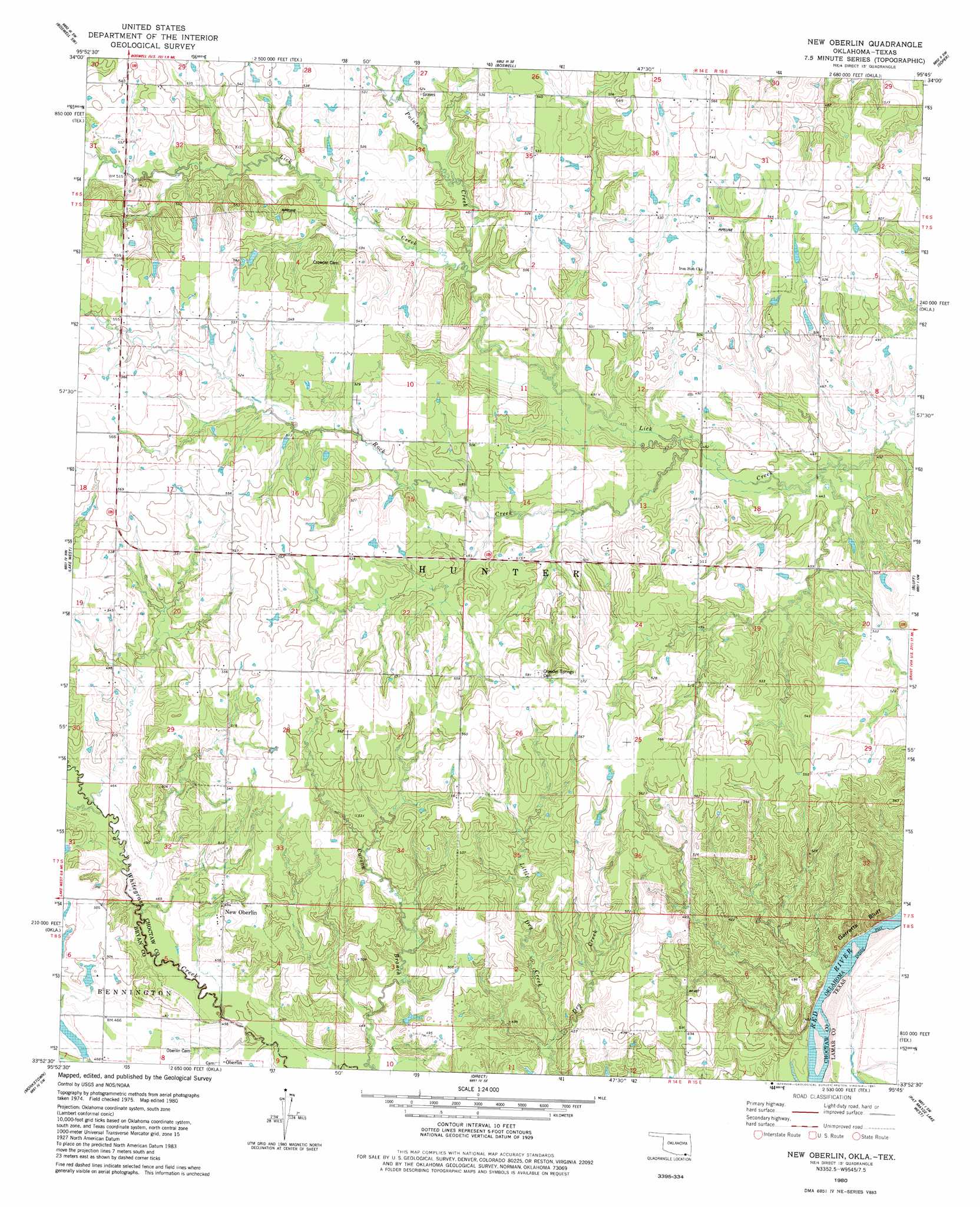
USGS Topo Quad 33095h7 - 1:24,000 scale
| Topo Map Name: | New Oberlin |
| USGS Topo Quad ID: | 33095h7 |
| Print Size: | ca. 21 1/4" wide x 27" high |
| Southeast Coordinates: | 33.875° N latitude / 95.75° W longitude |
| Map Center Coordinates: | 33.9375° N latitude / 95.8125° W longitude |
| U.S. States: | OK, TX |
| Filename: | o33095h7.jpg |
| Download Map JPG Image: | New Oberlin topo map 1:24,000 scale |
| Map Type: | Topographic |
| Topo Series: | 7.5´ |
| Map Scale: | 1:24,000 |
| Source of Map Images: | United States Geological Survey (USGS) |
| Alternate Map Versions: |
New Oberlin OK 1980, updated 1981 Download PDF Buy paper map New Oberlin OK 2010 Download PDF Buy paper map New Oberlin OK 2012 Download PDF Buy paper map New Oberlin OK 2016 Download PDF Buy paper map |
1:24,000 Topo Quads surrounding New Oberlin
Bentley |
Boswell Nw |
Darwin |
Antlers West |
Antlers East |
Bennington North |
Boswell Sw |
Boswell |
Soper |
Hugo |
Bennington South |
Lake West |
New Oberlin |
Bluff |
Grant |
Telephone |
Monkstown |
Direct |
Pat Mayse Lake West |
Pat Mayse Lake East |
Lamasco |
Selfs |
Tigertown |
Toco |
Paris |
> Back to 33095e1 at 1:100,000 scale
> Back to 33094a1 at 1:250,000 scale
> Back to U.S. Topo Maps home
New Oberlin topo map: Gazetteer
New Oberlin: Cliffs
Garretts Bluff elevation 151m 495′New Oberlin: Populated Places
New Oberlin elevation 153m 501′New Oberlin: Streams
Little Dry Creek elevation 134m 439′Pointer Creek elevation 144m 472′
Rock Creek elevation 137m 449′
Whitegrass Creek elevation 134m 439′
New Oberlin digital topo map on disk
Buy this New Oberlin topo map showing relief, roads, GPS coordinates and other geographical features, as a high-resolution digital map file on DVD: