Leonard Topo Map Texas
To zoom in, hover over the map of Leonard
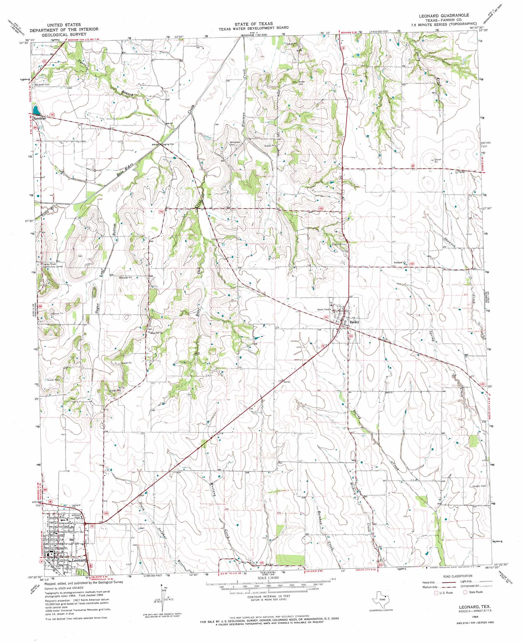
USGS Topo Quad 33096d2 - 1:24,000 scale
| Topo Map Name: | Leonard |
| USGS Topo Quad ID: | 33096d2 |
| Print Size: | ca. 21 1/4" wide x 27" high |
| Southeast Coordinates: | 33.375° N latitude / 96.125° W longitude |
| Map Center Coordinates: | 33.4375° N latitude / 96.1875° W longitude |
| U.S. State: | TX |
| Filename: | o33096d2.jpg |
| Download Map JPG Image: | Leonard topo map 1:24,000 scale |
| Map Type: | Topographic |
| Topo Series: | 7.5´ |
| Map Scale: | 1:24,000 |
| Source of Map Images: | United States Geological Survey (USGS) |
| Alternate Map Versions: |
Leonard TX 1964, updated 1968 Download PDF Buy paper map Leonard TX 2010 Download PDF Buy paper map Leonard TX 2013 Download PDF Buy paper map Leonard TX 2016 Download PDF Buy paper map |
1:24,000 Topo Quads surrounding Leonard
Ambrose |
Mulberry |
Lake Bonham |
Lamasco |
Selfs |
Whitewright |
Ector |
Bonham |
Dodd City |
Honey Grove |
Pilot Grove |
Trenton |
Leonard |
Gober |
Ladonia |
Blue Ridge |
Pike |
Celeste |
Wolfe City |
Commerce North |
Culleoka |
Farmersville |
Greenville Nw |
Greenville Ne |
Commerce South |
> Back to 33096a1 at 1:100,000 scale
> Back to 33096a1 at 1:250,000 scale
> Back to U.S. Topo Maps home
Leonard topo map: Gazetteer
Leonard: Airports
Grove Hill Airport elevation 220m 721′Leonard: Dams
Correa Lake Dam elevation 198m 649′Gilbert Lake Dam elevation 211m 692′
Purdue Lake Dam elevation 196m 643′
Taylor Dam elevation 196m 643′
Texas No Name Number 32 Dam elevation 190m 623′
Texas No Name Number 33 Dam elevation 186m 610′
Leonard: Populated Places
Bailey elevation 217m 711′Leonard elevation 219m 718′
Leonard: Reservoirs
Correa Lake elevation 198m 649′Gilbert Lake elevation 211m 692′
Purdue Lake elevation 196m 643′
Taylor Lake elevation 196m 643′
Leonard: Streams
Burr Oak Creek elevation 172m 564′Dyers Branch elevation 173m 567′
Sugar Loaf Bottom elevation 173m 567′
Valley Creek elevation 182m 597′
Leonard: Summits
Snow Hill elevation 208m 682′Leonard digital topo map on disk
Buy this Leonard topo map showing relief, roads, GPS coordinates and other geographical features, as a high-resolution digital map file on DVD: