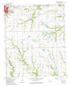
Roberta Topo Map Oklahoma
To zoom in, hover over the map of Roberta
USGS Topo Quad 33096h3 - 1:24,000 scale
| Topo Map Name: | Roberta |
| USGS Topo Quad ID: | 33096h3 |
| Print Size: | ca. 21 1/4" wide x 27" high |
| Southeast Coordinates: | 33.875° N latitude / 96.25° W longitude |
| Map Center Coordinates: | 33.9375° N latitude / 96.3125° W longitude |
| U.S. State: | OK |
| Filename: | o33096h3.jpg |
| Download Map JPG Image: | Roberta topo map 1:24,000 scale |
| Map Type: | Topographic |
| Topo Series: | 7.5´ |
| Map Scale: | 1:24,000 |
| Source of Map Images: | United States Geological Survey (USGS) |
| Alternate Map Versions: |
Roberta OK 1980, updated 1981 Download PDF Buy paper map Roberta OK 2010 Download PDF Buy paper map Roberta OK 2012 Download PDF Buy paper map Roberta OK 2016 Download PDF Buy paper map |
1:24,000 Topo Quads surrounding Roberta
> Back to 33096e1 at 1:100,000 scale
> Back to 33096a1 at 1:250,000 scale
> Back to U.S. Topo Maps home
Roberta topo map: Gazetteer
Roberta: Dams
Anderson Lake Dam elevation 197m 646′Boatner Lake Dam elevation 175m 574′
Callaway Lake Dam elevation 168m 551′
Callaway Lake Dam elevation 171m 561′
Casteel Lake Dam elevation 190m 623′
Conditt Lake Dam elevation 177m 580′
Farrell Lake Dam elevation 193m 633′
H L D M Farms Incorporated Lake Dam elevation 177m 580′
Isom 3 Lake Dam elevation 182m 597′
Isom I Lake Dam elevation 185m 606′
Isom Lake Dam elevation 191m 626′
Mattingly Lake Number 1 Dam elevation 208m 682′
Mattingly Lake Number 2 Dam elevation 202m 662′
Oknoname 013004 Dam elevation 183m 600′
Oknoname 013007 Dam elevation 187m 613′
Oknoname 013019 Dam elevation 183m 600′
Oknoname 013022 Dam elevation 189m 620′
Roberts Lake Number 1 Dam elevation 191m 626′
Roberts Lake Number 2 Dam elevation 188m 616′
Shepard Lake Dam elevation 203m 666′
Shepard Lake Dam elevation 191m 626′
Roberta: Populated Places
Allison elevation 196m 643′Durant elevation 194m 636′
Lee Heights elevation 207m 679′
Old Allison elevation 193m 633′
Pirtle elevation 179m 587′
Roberta elevation 204m 669′
Roberta: Reservoirs
Anderson Lake elevation 197m 646′Boatner Lake elevation 175m 574′
Callaway Lake elevation 171m 561′
Callaway Lake elevation 168m 551′
Casteel Lake elevation 190m 623′
Conditt Lake elevation 177m 580′
Farrell Lake elevation 193m 633′
H L D M Farms Incorporated Lake elevation 177m 580′
Isom 3 Lake elevation 182m 597′
Isom I Lake elevation 185m 606′
Isom Lake elevation 191m 626′
Martingly Lake Number 1 elevation 208m 682′
Mattingly Lake Number 2 elevation 202m 662′
Oknoname 013007 Reservoir elevation 187m 613′
Oknoname 013019 Reservoir elevation 183m 600′
Oknoname 013022 Reservoir elevation 189m 620′
Oknoname 031004 Reservoir elevation 183m 600′
Roberts Lake Number 1 elevation 191m 626′
Roberts Lake Number 2 elevation 188m 616′
Shepard Lake elevation 203m 666′
Shepard Lake elevation 191m 626′
Roberta: Streams
North Branch J-N Creek elevation 165m 541′Roberta digital topo map on disk
Buy this Roberta topo map showing relief, roads, GPS coordinates and other geographical features, as a high-resolution digital map file on DVD:


