Two B Ranch Sw Topo Map Texas
To zoom in, hover over the map of Two B Ranch Sw
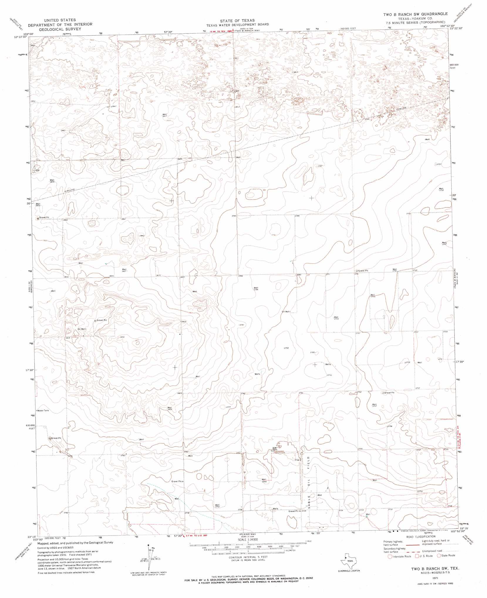
USGS Topo Quad 33102c8 - 1:24,000 scale
| Topo Map Name: | Two B Ranch Sw |
| USGS Topo Quad ID: | 33102c8 |
| Print Size: | ca. 21 1/4" wide x 27" high |
| Southeast Coordinates: | 33.25° N latitude / 102.875° W longitude |
| Map Center Coordinates: | 33.3125° N latitude / 102.9375° W longitude |
| U.S. State: | TX |
| Filename: | o33102c8.jpg |
| Download Map JPG Image: | Two B Ranch Sw topo map 1:24,000 scale |
| Map Type: | Topographic |
| Topo Series: | 7.5´ |
| Map Scale: | 1:24,000 |
| Source of Map Images: | United States Geological Survey (USGS) |
| Alternate Map Versions: |
Two B Ranch SW TX 1971, updated 1974 Download PDF Buy paper map Two B Ranch SW TX 2010 Download PDF Buy paper map Two B Ranch SW TX 2012 Download PDF Buy paper map Two B Ranch SW TX 2016 Download PDF Buy paper map |
1:24,000 Topo Quads surrounding Two B Ranch Sw
Bledsoe Sw |
Bledsoe |
Morton Sw |
Lehman |
Whiteface Sw |
Walking Cane Ranch |
Bronco Ne |
Two B Ranch Nw |
Schooler Ranch |
Plains 1 Nw |
Gladiola |
Bronco |
Two B Ranch Sw |
Two B Ranch |
Plains 1 Sw |
Prairieview Nw |
Prairieview Ne |
Plains Nw |
Plains |
Tokio Nw |
Prairieview |
Prairieview Se |
Ink Basin |
Plains Se |
Pleasant Hill |
> Back to 33102a1 at 1:100,000 scale
> Back to 33102a1 at 1:250,000 scale
> Back to U.S. Topo Maps home
Two B Ranch Sw digital topo map on disk
Buy this Two B Ranch Sw topo map showing relief, roads, GPS coordinates and other geographical features, as a high-resolution digital map file on DVD: