Hackberry Ranch Topo Map New Mexico
To zoom in, hover over the map of Hackberry Ranch
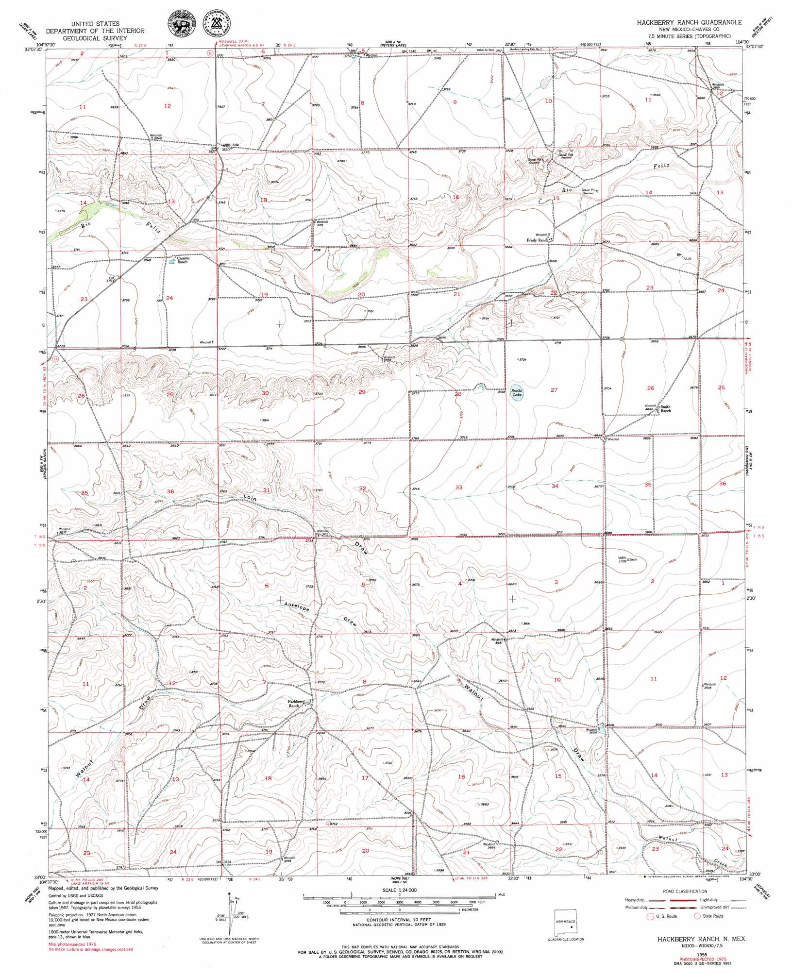
USGS Topo Quad 33104a5 - 1:24,000 scale
| Topo Map Name: | Hackberry Ranch |
| USGS Topo Quad ID: | 33104a5 |
| Print Size: | ca. 21 1/4" wide x 27" high |
| Southeast Coordinates: | 33° N latitude / 104.5° W longitude |
| Map Center Coordinates: | 33.0625° N latitude / 104.5625° W longitude |
| U.S. State: | NM |
| Filename: | o33104a5.jpg |
| Download Map JPG Image: | Hackberry Ranch topo map 1:24,000 scale |
| Map Type: | Topographic |
| Topo Series: | 7.5´ |
| Map Scale: | 1:24,000 |
| Source of Map Images: | United States Geological Survey (USGS) |
| Alternate Map Versions: |
Hackberry Ranch NM 1955, updated 1956 Download PDF Buy paper map Hackberry Ranch NM 1959, updated 1979 Download PDF Buy paper map Hackberry Ranch NM 2010 Download PDF Buy paper map Hackberry Ranch NM 2013 Download PDF Buy paper map Hackberry Ranch NM 2017 Download PDF Buy paper map |
1:24,000 Topo Quads surrounding Hackberry Ranch
Diamond A Ranch |
Hondo Reservoir |
Roswell South |
South Spring |
Bottomless Lakes |
Lucky Lake |
Juan Lake |
Peters Lake |
Dexter West |
Dexter East |
Indian Bluff |
Kincaid Ranch |
Hackberry Ranch |
Hagerman Sw |
Hagerman |
Sagebrush Valley E. |
Hope Nw |
Hope Ne |
Espuela |
Artesia Ne |
Sixteenmile Draw East |
Hope |
Hope Se |
Artesia |
Spring Lake |
> Back to 33104a1 at 1:100,000 scale
> Back to 33104a1 at 1:250,000 scale
> Back to U.S. Topo Maps home
Hackberry Ranch topo map: Gazetteer
Hackberry Ranch: Lakes
Scotts Lake elevation 1134m 3720′Hackberry Ranch: Mines
Hackberry Ranch Pit elevation 1112m 3648′Hackberry Ranch: Valleys
Antelope Draw elevation 1108m 3635′Loin Draw elevation 1105m 3625′
Made Draw elevation 1142m 3746′
Walnut Draw elevation 1082m 3549′
Hackberry Ranch digital topo map on disk
Buy this Hackberry Ranch topo map showing relief, roads, GPS coordinates and other geographical features, as a high-resolution digital map file on DVD: