Denton Camp Topo Map New Mexico
To zoom in, hover over the map of Denton Camp
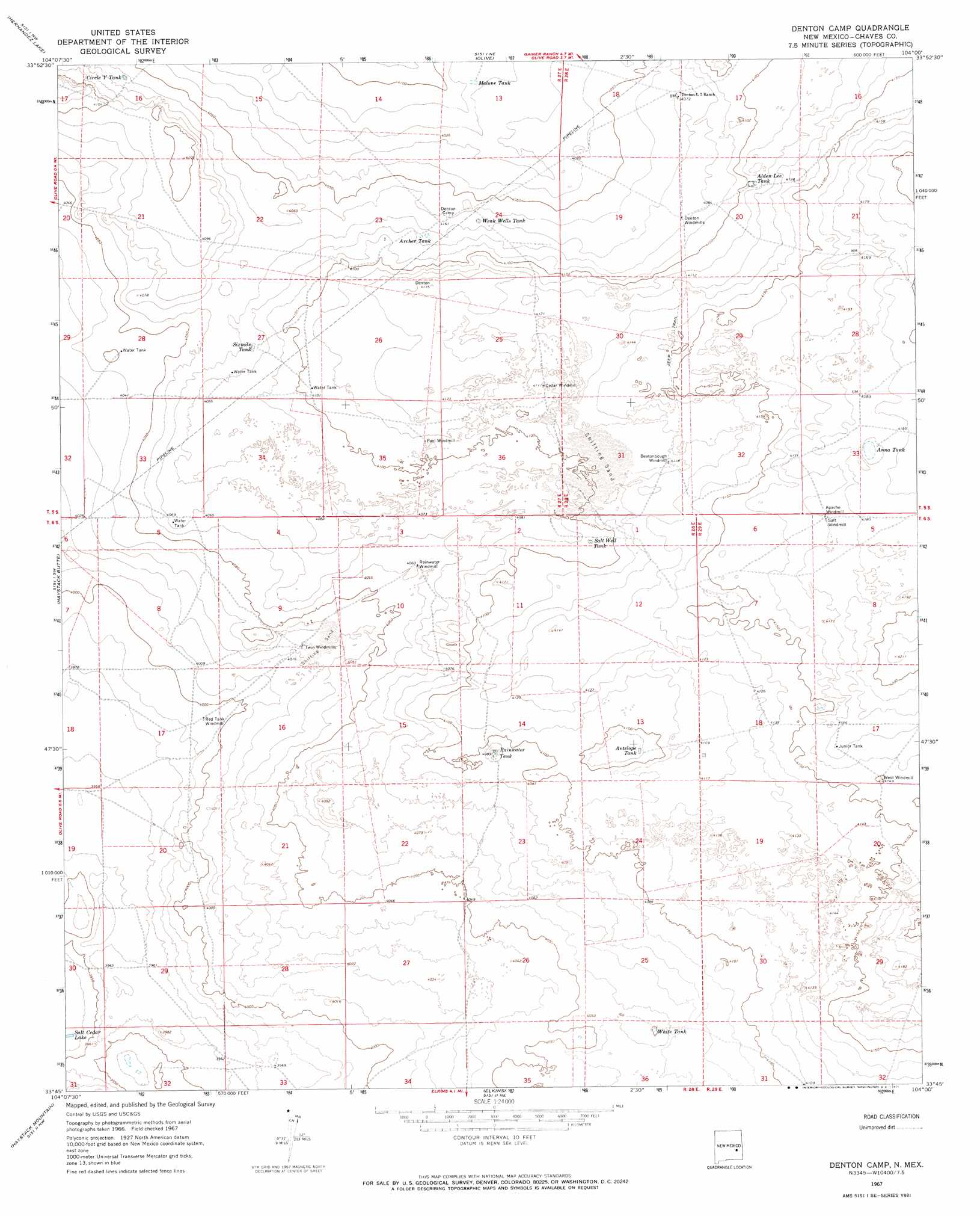
USGS Topo Quad 33104g1 - 1:24,000 scale
| Topo Map Name: | Denton Camp |
| USGS Topo Quad ID: | 33104g1 |
| Print Size: | ca. 21 1/4" wide x 27" high |
| Southeast Coordinates: | 33.75° N latitude / 104° W longitude |
| Map Center Coordinates: | 33.8125° N latitude / 104.0625° W longitude |
| U.S. State: | NM |
| Filename: | o33104g1.jpg |
| Download Map JPG Image: | Denton Camp topo map 1:24,000 scale |
| Map Type: | Topographic |
| Topo Series: | 7.5´ |
| Map Scale: | 1:24,000 |
| Source of Map Images: | United States Geological Survey (USGS) |
| Alternate Map Versions: |
Denton Camp NM 1967, updated 1971 Download PDF Buy paper map Denton Camp NM 2010 Download PDF Buy paper map Denton Camp NM 2013 Download PDF Buy paper map Denton Camp NM 2017 Download PDF Buy paper map |
1:24,000 Topo Quads surrounding Denton Camp
La Espia Peak |
Cooley Lake |
Howell Ranch |
Rippee Ranch |
Gammil Well Se |
Deering Place |
Hernandez Lake |
Olive |
San Juan Mesa West |
San Juan Mesa East |
Cottonwood Draw |
Haystack Butte |
Denton Camp |
Kenna Sw |
Kenna |
Eightmile Draw |
Haystack Mountain |
Elkins |
Curlew Lake |
Lone Wolf |
Acme |
Campbell |
Sardine Lake |
Presler Lake |
Curlew Lake Se |
> Back to 33104e1 at 1:100,000 scale
> Back to 33104a1 at 1:250,000 scale
> Back to U.S. Topo Maps home
Denton Camp topo map: Gazetteer
Denton Camp: Lakes
Salt Cedar Lake elevation 1200m 3937′Denton Camp: Reservoirs
Alden Lee Tank elevation 1250m 4101′Anna Tank elevation 1274m 4179′
Antelope Tank elevation 1245m 4084′
Archer Tank elevation 1242m 4074′
Circle Y Tank elevation 1238m 4061′
Junior Tank elevation 1272m 4173′
Malone Tank elevation 1225m 4019′
Rainwater Tank elevation 1244m 4081′
Salt Well Tank elevation 1247m 4091′
Sixmile Tank elevation 1244m 4081′
Weak Wells Tank elevation 1238m 4061′
White Tank elevation 1237m 4058′
Denton Camp digital topo map on disk
Buy this Denton Camp topo map showing relief, roads, GPS coordinates and other geographical features, as a high-resolution digital map file on DVD: