Chupadero Mountain Topo Map New Mexico
To zoom in, hover over the map of Chupadero Mountain
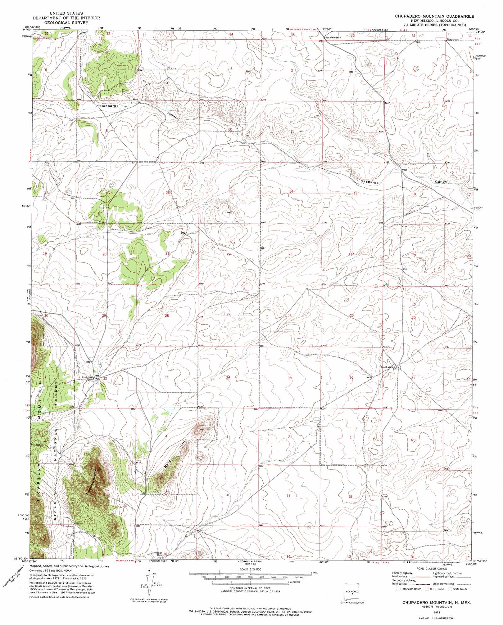
USGS Topo Quad 33105h5 - 1:24,000 scale
| Topo Map Name: | Chupadero Mountain |
| USGS Topo Quad ID: | 33105h5 |
| Print Size: | ca. 21 1/4" wide x 27" high |
| Southeast Coordinates: | 33.875° N latitude / 105.5° W longitude |
| Map Center Coordinates: | 33.9375° N latitude / 105.5625° W longitude |
| U.S. State: | NM |
| Filename: | o33105h5.jpg |
| Download Map JPG Image: | Chupadero Mountain topo map 1:24,000 scale |
| Map Type: | Topographic |
| Topo Series: | 7.5´ |
| Map Scale: | 1:24,000 |
| Source of Map Images: | United States Geological Survey (USGS) |
| Alternate Map Versions: |
Chupadero Mountain NM 1973, updated 1977 Download PDF Buy paper map Chupadero Mountain NM 2004, updated 2006 Download PDF Buy paper map Chupadero Mountain NM 2011 Download PDF Buy paper map Chupadero Mountain NM 2013 Download PDF Buy paper map |
| FStopo: | US Forest Service topo Chupadero Mountain is available: Download FStopo PDF Download FStopo TIF |
1:24,000 Topo Quads surrounding Chupadero Mountain
Pajaro Canyon |
Rough Mountain |
Corona South |
Gallo Spring Canyon |
Gallo Spring Canyon Ne |
Claunch Se |
Tecolote Peak |
Pelan Hill |
Red Bluff Draw West |
Red Bluff Draw East |
Little Black Peak Ne |
Ancho |
Chupadero Mountain |
Hasperos Camp |
Golondrina Well |
Lone Mountain |
White Oaks North |
Jicarilla Peak |
Box Lake |
Pedernal Arroyo |
Carrizoza East |
White Oaks South |
Jacob Spring |
Encinoso |
Kyle Harrison Canyon |
> Back to 33105e1 at 1:100,000 scale
> Back to 33104a1 at 1:250,000 scale
> Back to U.S. Topo Maps home
Chupadero Mountain topo map: Gazetteer
Chupadero Mountain: Ridges
Bald Hills elevation 2067m 6781′Chupadero Mountain elevation 2224m 7296′
Chupadero Mountain digital topo map on disk
Buy this Chupadero Mountain topo map showing relief, roads, GPS coordinates and other geographical features, as a high-resolution digital map file on DVD: