Fifteenmile Lake Topo Map New Mexico
To zoom in, hover over the map of Fifteenmile Lake
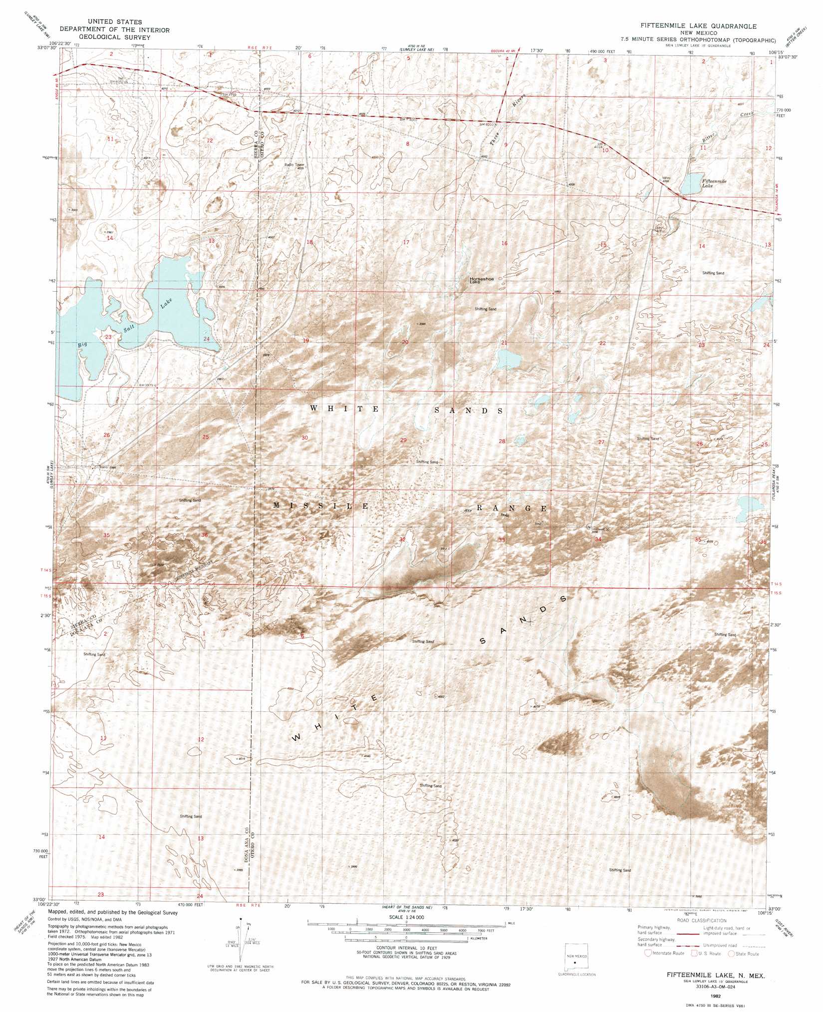
USGS Topo Quad 33106a3 - 1:24,000 scale
| Topo Map Name: | Fifteenmile Lake |
| USGS Topo Quad ID: | 33106a3 |
| Print Size: | ca. 21 1/4" wide x 27" high |
| Southeast Coordinates: | 33° N latitude / 106.25° W longitude |
| Map Center Coordinates: | 33.0625° N latitude / 106.3125° W longitude |
| U.S. State: | NM |
| Filename: | p33106a3.jpg |
| Download Map JPG Image: | Fifteenmile Lake topo map 1:24,000 scale |
| Map Type: | Orthophoto |
| Topo Series: | 7.5´ |
| Map Scale: | 1:24,000 |
| Source of Map Images: | United States Geological Survey (USGS) |
| Alternate Map Versions: |
Fifteenmile Lake NM 1982, updated 1982 Download PDF Buy paper map Fifteenmile Lake NM 1982, updated 1987 Download PDF Buy paper map Fifteenmile Lake NM 2010 Download PDF Buy paper map Fifteenmile Lake NM 2013 Download PDF Buy paper map Fifteenmile Lake NM 2017 Download PDF Buy paper map |
1:24,000 Topo Quads surrounding Fifteenmile Lake
Salinas Peak |
Sheep Mountain |
Capitol Peak Se |
Three Rivers Sw |
Three Rivers |
Tip Top Canyon |
Lumley Lake Nw |
Lumley Lake Ne |
Bitter Creek |
Tularosa Ne |
Strawberry Peak |
Lumley Lake |
Fifteenmile Lake |
Tularosa Peak |
Tularosa |
Hembrillo Canyon |
Heart Of The Sands Nw |
Heart Of The Sands Ne |
Lost River |
Malone Draw |
Gardner Peak |
Heart Of The Sands Sw |
Heart Of The Sands |
Garton Lake |
Holloman |
> Back to 33106a1 at 1:100,000 scale
> Back to 33106a1 at 1:250,000 scale
> Back to U.S. Topo Maps home
Fifteenmile Lake topo map: Gazetteer
Fifteenmile Lake: Lakes
Big Salt Lake elevation 1204m 3950′Fifteenmile Lake elevation 1218m 3996′
Horseshoe Lake elevation 1216m 3989′
Fifteenmile Lake: Mines
American Fluorspar Group elevation 1215m 3986′Fifteenmile Lake: Streams
Salt Creek elevation 1204m 3950′Three Rivers elevation 1223m 4012′
Fifteenmile Lake digital topo map on disk
Buy this Fifteenmile Lake topo map showing relief, roads, GPS coordinates and other geographical features, as a high-resolution digital map file on DVD: