Shaw Mountain Topo Map New Mexico
To zoom in, hover over the map of Shaw Mountain
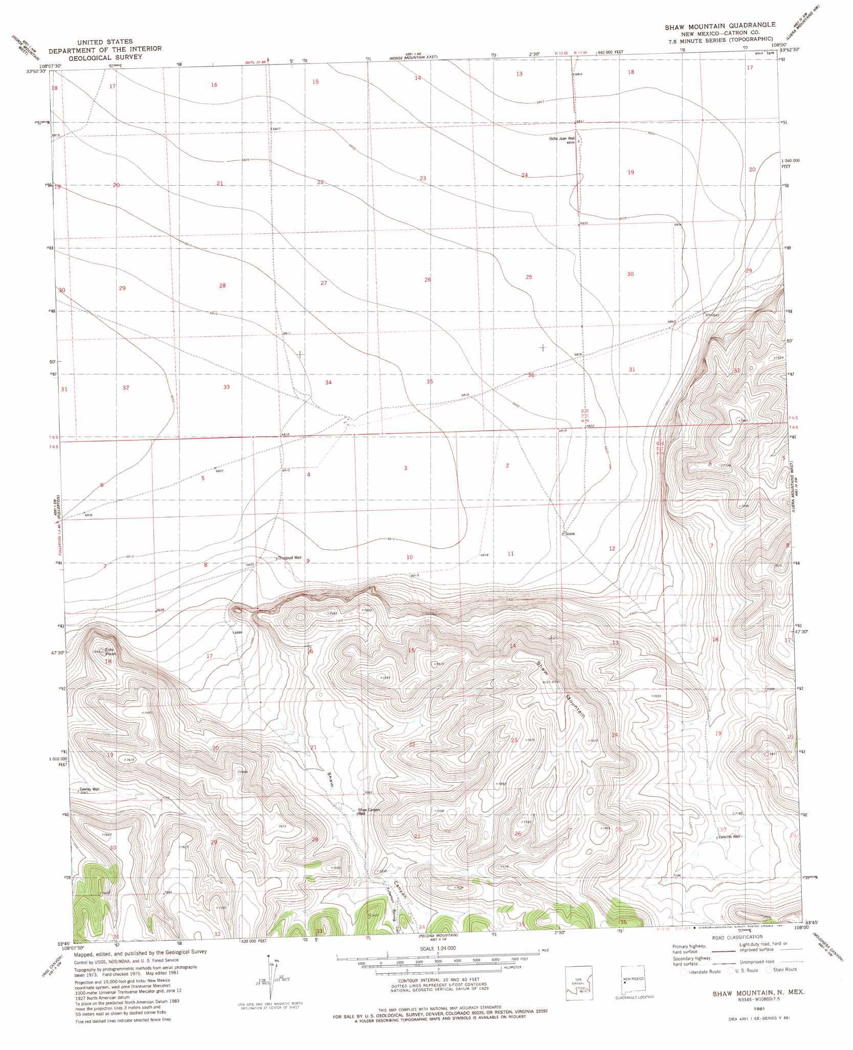
USGS Topo Quad 33108g1 - 1:24,000 scale
| Topo Map Name: | Shaw Mountain |
| USGS Topo Quad ID: | 33108g1 |
| Print Size: | ca. 21 1/4" wide x 27" high |
| Southeast Coordinates: | 33.75° N latitude / 108° W longitude |
| Map Center Coordinates: | 33.8125° N latitude / 108.0625° W longitude |
| U.S. State: | NM |
| Filename: | o33108g1.jpg |
| Download Map JPG Image: | Shaw Mountain topo map 1:24,000 scale |
| Map Type: | Topographic |
| Topo Series: | 7.5´ |
| Map Scale: | 1:24,000 |
| Source of Map Images: | United States Geological Survey (USGS) |
| Alternate Map Versions: |
Shaw Mountain NM 1981, updated 1981 Download PDF Buy paper map Shaw Mountain NM 2010 Download PDF Buy paper map Shaw Mountain NM 2013 Download PDF Buy paper map Shaw Mountain NM 2017 Download PDF Buy paper map |
1:24,000 Topo Quads surrounding Shaw Mountain
Mangas Mountain |
Wallace Mesa |
Log Canyon |
Sugarloaf Mountain |
Anderson Peak |
Bell Peak |
Horse Mountain West |
Horse Mountain East |
Luera Mountains Nw |
C-N Lake |
Rael Spring |
Fullerton |
Shaw Mountain |
Luera Mountains West |
Luera Mountains East |
Salvation Peak |
Rail Canyon |
Pelona Mountain |
Mojonera Canyon |
Paddys Hole |
O Bar O Canyon West |
O Bar O Canyon East |
Indian Peaks West |
Indian Peaks East |
Wahoo Peak |
> Back to 33108e1 at 1:100,000 scale
> Back to 33108a1 at 1:250,000 scale
> Back to U.S. Topo Maps home
Shaw Mountain topo map: Gazetteer
Shaw Mountain: Summits
Eds Peak elevation 2209m 7247′Shaw Mountain elevation 2231m 7319′
Shaw Mountain: Valleys
Fullerton Spring Canyon elevation 2171m 7122′Shaw Mountain: Wells
C/F Handug Water Well elevation 2077m 6814′Concelio Water Well elevation 2169m 7116′
Cowley Water Well elevation 2157m 7076′
Ocho Juan Water Well elevation 2085m 6840′
Shaw Canyon Well elevation 2156m 7073′
Taylor Place Water Well elevation 2081m 6827′
Thurgood Well elevation 2081m 6827′
Shaw Mountain digital topo map on disk
Buy this Shaw Mountain topo map showing relief, roads, GPS coordinates and other geographical features, as a high-resolution digital map file on DVD: