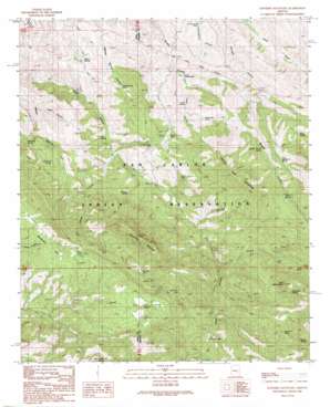
Rawhide Mountain Topo Map Arizona
To zoom in, hover over the map of Rawhide Mountain
USGS Topo Quad 33110a4 - 1:24,000 scale
| Topo Map Name: | Rawhide Mountain |
| USGS Topo Quad ID: | 33110a4 |
| Print Size: | ca. 21 1/4" wide x 27" high |
| Southeast Coordinates: | 33° N latitude / 110.375° W longitude |
| Map Center Coordinates: | 33.0625° N latitude / 110.4375° W longitude |
| U.S. State: | AZ |
| Filename: | o33110a4.jpg |
| Download Map JPG Image: | Rawhide Mountain topo map 1:24,000 scale |
| Map Type: | Topographic |
| Topo Series: | 7.5´ |
| Map Scale: | 1:24,000 |
| Source of Map Images: | United States Geological Survey (USGS) |
| Alternate Map Versions: |
Rawhide Mountain AZ 1989, updated 1990 Download PDF Buy paper map Rawhide Mountain AZ 2011 Download PDF Buy paper map Rawhide Mountain AZ 2014 Download PDF Buy paper map |
1:24,000 Topo Quads surrounding Rawhide Mountain
> Back to 33110a1 at 1:100,000 scale
> Back to 33110a1 at 1:250,000 scale
> Back to U.S. Topo Maps home
Rawhide Mountain topo map: Gazetteer
Rawhide Mountain: Flats
Beargrass Flat elevation 1244m 4081′Rawhide Mountain: Mines
Copper Reef Mine elevation 1204m 3950′Friend Mine elevation 1238m 4061′
Rawhide Mountain: Reservoirs
Horse Basin Tanks elevation 1209m 3966′Lime Tank elevation 1219m 3999′
Lime Tank elevation 1213m 3979′
Rawhide Mountain: Springs
Ash Spring elevation 963m 3159′Brushy Spring elevation 1478m 4849′
Davis Spring elevation 1322m 4337′
Double Troughs Spring elevation 1240m 4068′
Dry Camp Spring elevation 1144m 3753′
Elderberry Spring elevation 1455m 4773′
Janis Spring elevation 1093m 3585′
Musk Hog Spring elevation 1115m 3658′
Old Ranch Spring elevation 1317m 4320′
Piñon Spring elevation 1253m 4110′
Red Rooster Spring elevation 1381m 4530′
Squaw Spring elevation 1349m 4425′
Sycamore Spring elevation 1373m 4504′
Webster Spring elevation 1083m 3553′
Willow Spring elevation 962m 3156′
Rawhide Mountain: Streams
Garden Creek elevation 1145m 3756′Rawhide Mountain: Summits
Copper Reef Mountain elevation 1654m 5426′Little Stanley Butte elevation 1666m 5465′
Rawhide Mountain elevation 1677m 5501′
Rawhide Mountain: Valleys
Buck Canyon elevation 994m 3261′Janis Canyon elevation 1033m 3389′
Water Canyon elevation 966m 3169′
Rawhide Mountain digital topo map on disk
Buy this Rawhide Mountain topo map showing relief, roads, GPS coordinates and other geographical features, as a high-resolution digital map file on DVD:


