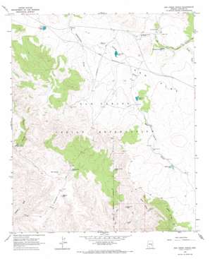
Ash Creek Ranch Topo Map Arizona
To zoom in, hover over the map of Ash Creek Ranch
USGS Topo Quad 33110c1 - 1:24,000 scale
| Topo Map Name: | Ash Creek Ranch |
| USGS Topo Quad ID: | 33110c1 |
| Print Size: | ca. 21 1/4" wide x 27" high |
| Southeast Coordinates: | 33.25° N latitude / 110° W longitude |
| Map Center Coordinates: | 33.3125° N latitude / 110.0625° W longitude |
| U.S. State: | AZ |
| Filename: | o33110c1.jpg |
| Download Map JPG Image: | Ash Creek Ranch topo map 1:24,000 scale |
| Map Type: | Topographic |
| Topo Series: | 7.5´ |
| Map Scale: | 1:24,000 |
| Source of Map Images: | United States Geological Survey (USGS) |
| Alternate Map Versions: |
Ash Creek Ranch AZ 1966, updated 1967 Download PDF Buy paper map Ash Creek Ranch AZ 2011 Download PDF Buy paper map Ash Creek Ranch AZ 2014 Download PDF Buy paper map |
1:24,000 Topo Quads surrounding Ash Creek Ranch
> Back to 33110a1 at 1:100,000 scale
> Back to 33110a1 at 1:250,000 scale
> Back to U.S. Topo Maps home
Ash Creek Ranch topo map: Gazetteer
Ash Creek Ranch: Dams
Beef Corral Dam elevation 1512m 4960′Bone Dam elevation 1455m 4773′
Green Mountain Dam elevation 1489m 4885′
Sweet Meat Spring Dam elevation 1538m 5045′
Ash Creek Ranch: Reservoirs
Beef Corral Tank elevation 1509m 4950′Bone Tank elevation 1414m 4639′
Green Mountain Tank elevation 1490m 4888′
Headquarters Tank elevation 1462m 4796′
Hooker Gap Tank elevation 1555m 5101′
Indian Corner Tank elevation 1403m 4603′
Juniper Tank elevation 1488m 4881′
Longstreet Tank elevation 1377m 4517′
Military Tank elevation 1404m 4606′
South Headquarters Tank elevation 1462m 4796′
Yellowjacket Tank elevation 1390m 4560′
Ash Creek Ranch: Springs
Bone Spring elevation 1301m 4268′Ash Creek Ranch: Streams
North Fork Ash Creek elevation 1464m 4803′South Fork Ash Creek elevation 1464m 4803′
Ash Creek Ranch: Valleys
Beef Corral Draw elevation 1568m 5144′Cactus Canyon elevation 1361m 4465′
Ash Creek Ranch: Wells
Hooker Gap Well elevation 1539m 5049′Indian Spring Well elevation 1567m 5141′
Ash Creek Ranch digital topo map on disk
Buy this Ash Creek Ranch topo map showing relief, roads, GPS coordinates and other geographical features, as a high-resolution digital map file on DVD:


