Bouse Sw Topo Map Arizona
To zoom in, hover over the map of Bouse Sw
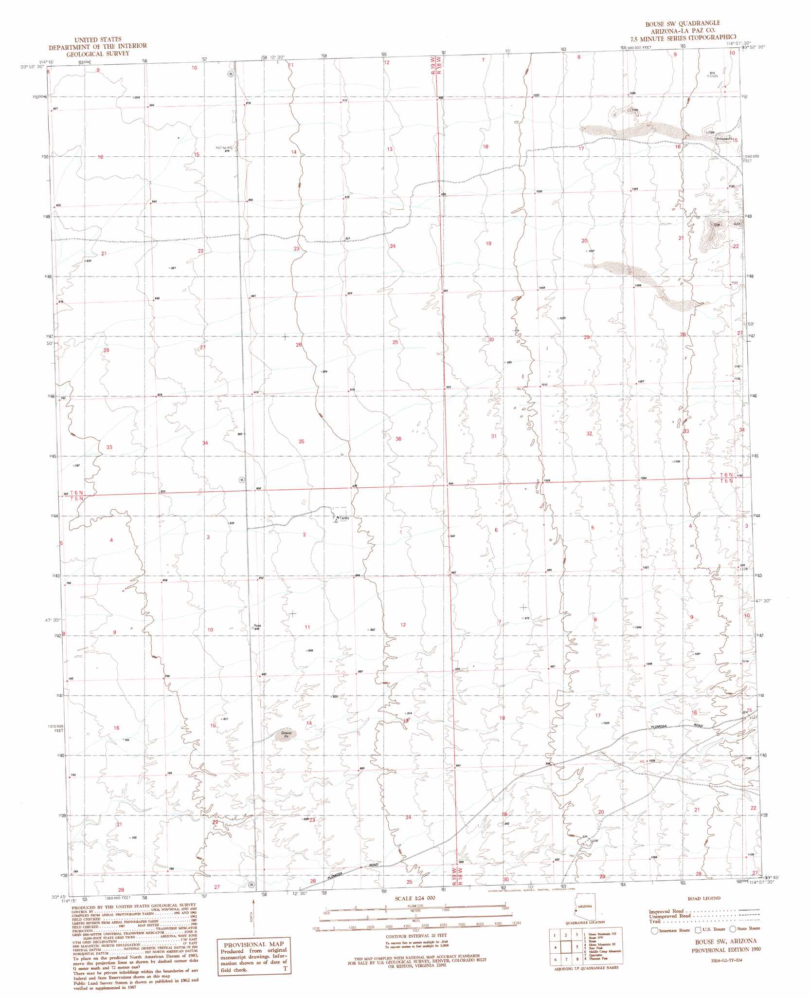
USGS Topo Quad 33114g2 - 1:24,000 scale
| Topo Map Name: | Bouse Sw |
| USGS Topo Quad ID: | 33114g2 |
| Print Size: | ca. 21 1/4" wide x 27" high |
| Southeast Coordinates: | 33.75° N latitude / 114.125° W longitude |
| Map Center Coordinates: | 33.8125° N latitude / 114.1875° W longitude |
| U.S. State: | AZ |
| Filename: | o33114g2.jpg |
| Download Map JPG Image: | Bouse Sw topo map 1:24,000 scale |
| Map Type: | Topographic |
| Topo Series: | 7.5´ |
| Map Scale: | 1:24,000 |
| Source of Map Images: | United States Geological Survey (USGS) |
| Alternate Map Versions: |
Bouse SW AZ 1990, updated 1990 Download PDF Buy paper map Bouse SW AZ 2011 Download PDF Buy paper map Bouse SW AZ 2014 Download PDF Buy paper map |
1:24,000 Topo Quads surrounding Bouse Sw
Parker Sw |
Parker Se |
Black Peak |
Bobs Well |
Powerline Well |
Poston |
Moon Mountain Ne |
Bouse Nw |
Bouse |
Bouse Hills West |
Moon Mountain |
Moon Mountain Se |
Bouse Sw |
Ibex Peak |
Utting |
La Paz Mountain |
Middle Camp Mountain |
Quartzsite |
Plomosa Pass |
Bear Hills |
Dome Rock Mountains Sw |
Cunningham Mountain |
South Of Quartzsite |
Crystal Hill |
New Water Mountains |
> Back to 33114e1 at 1:100,000 scale
> Back to 33114a1 at 1:250,000 scale
> Back to U.S. Topo Maps home
No gazetteer data is available for the Bouse Sw topo map sheet.
Bouse Sw digital topo map on disk
Buy this Bouse Sw topo map showing relief, roads, GPS coordinates and other geographical features, as a high-resolution digital map file on DVD: