Iris Topo Map California
To zoom in, hover over the map of Iris
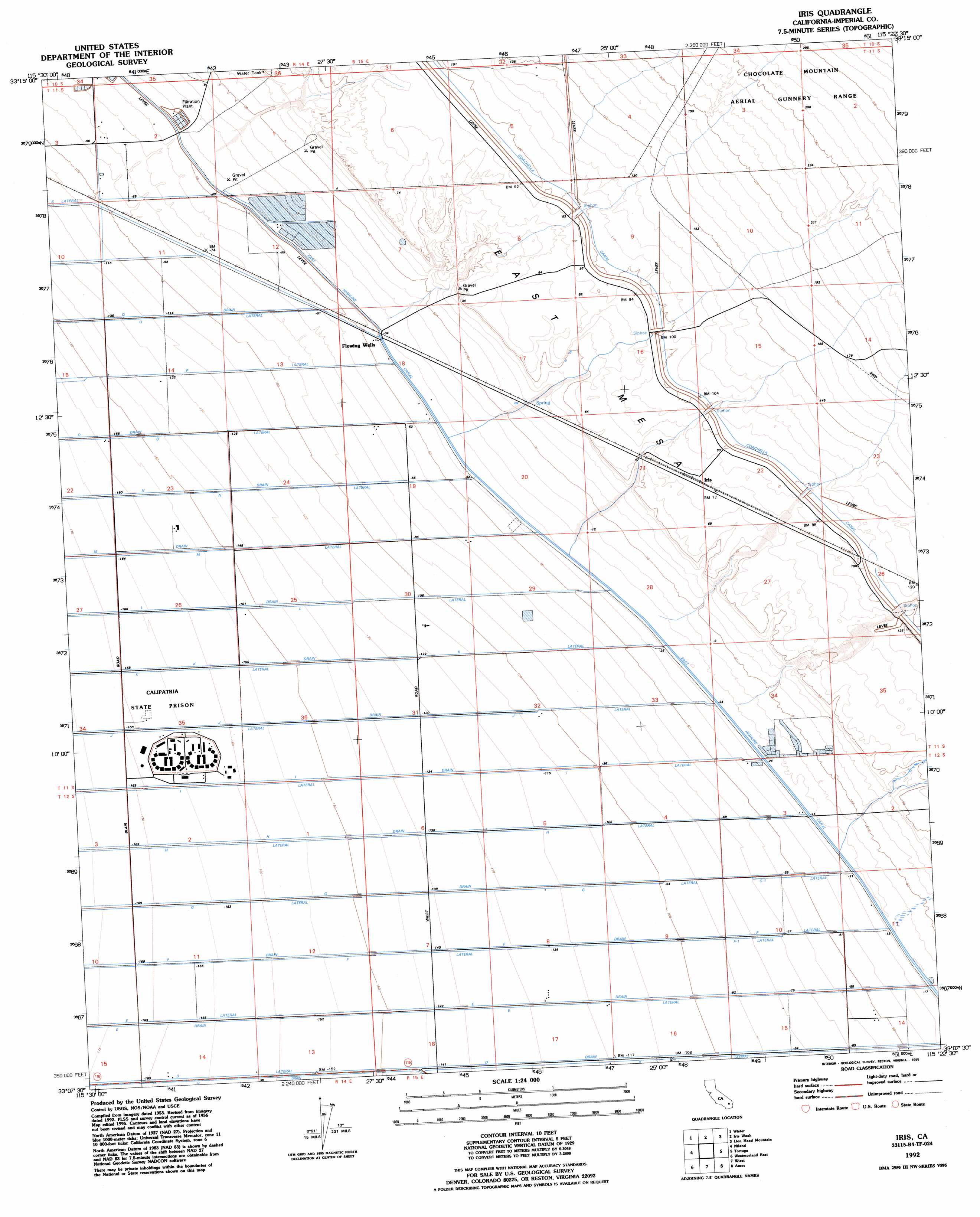
USGS Topo Quad 33115b4 - 1:24,000 scale
| Topo Map Name: | Iris |
| USGS Topo Quad ID: | 33115b4 |
| Print Size: | ca. 21 1/4" wide x 27" high |
| Southeast Coordinates: | 33.125° N latitude / 115.375° W longitude |
| Map Center Coordinates: | 33.1875° N latitude / 115.4375° W longitude |
| U.S. State: | CA |
| Filename: | o33115b4.jpg |
| Download Map JPG Image: | Iris topo map 1:24,000 scale |
| Map Type: | Topographic |
| Topo Series: | 7.5´ |
| Map Scale: | 1:24,000 |
| Source of Map Images: | United States Geological Survey (USGS) |
| Alternate Map Versions: |
Iris CA 1956, updated 1957 Download PDF Buy paper map Iris CA 1956, updated 1966 Download PDF Buy paper map Iris CA 1956, updated 1980 Download PDF Buy paper map Iris CA 1956, updated 1984 Download PDF Buy paper map Iris CA 1992, updated 1995 Download PDF Buy paper map Iris CA 2012 Download PDF Buy paper map Iris CA 2015 Download PDF Buy paper map |
1:24,000 Topo Quads surrounding Iris
Frink Nw |
Frink Ne |
Iris Pass |
Augustine Pass |
Chuckwalla Spring |
Frink |
Wister |
Iris Wash |
Lion Head Mountain |
Pegleg Well |
Obsidian Butte |
Niland |
Iris |
Tortuga |
Mammoth Wash |
Westmorland West |
Westmorland East |
Wiest |
Amos |
Acolita |
Brawley Nw |
Brawley |
Alamorio |
Holtville Ne |
Glamis Nw |
> Back to 33115a1 at 1:100,000 scale
> Back to 33114a1 at 1:250,000 scale
> Back to U.S. Topo Maps home
Iris topo map: Gazetteer
Iris: Canals
D Drain elevation -39m -128′D Lateral elevation -48m -158′
E Drain elevation -38m -125′
E Lateral elevation -35m -115′
East Highline Canal elevation -5m -17′
F Drain elevation -37m -122′
F Lateral elevation -43m -142′
F-I Lateral elevation -24m -79′
G Drain elevation -43m -142′
G Lateral elevation -30m -99′
G-I Lateral elevation -15m -50′
H Drain elevation -45m -148′
H Lateral elevation -49m -161′
I Drain elevation -43m -142′
I Lateral elevation -48m -158′
J Drain elevation -45m -148′
J Lateral elevation -47m -155′
K Drain elevation -46m -151′
K Lateral elevation -47m -155′
L Drain elevation -41m -135′
L Lateral elevation -32m -105′
M Drain elevation -49m -161′
M Lateral elevation -32m -105′
N Drain elevation -45m -148′
N Lateral elevation -36m -119′
O Drain elevation -45m -148′
O Lateral elevation -37m -122′
P Lateral elevation -26m -86′
R Side Main Canal elevation -19m -63′
Siphon Five elevation 31m 101′
Siphon Four elevation 31m 101′
Siphon Six elevation 30m 98′
Siphon Three elevation 30m 98′
Siphon Two elevation 29m 95′
Iris: Populated Places
Iris elevation 25m 82′Iris digital topo map on disk
Buy this Iris topo map showing relief, roads, GPS coordinates and other geographical features, as a high-resolution digital map file on DVD: