Durmid Se Topo Map California
To zoom in, hover over the map of Durmid Se
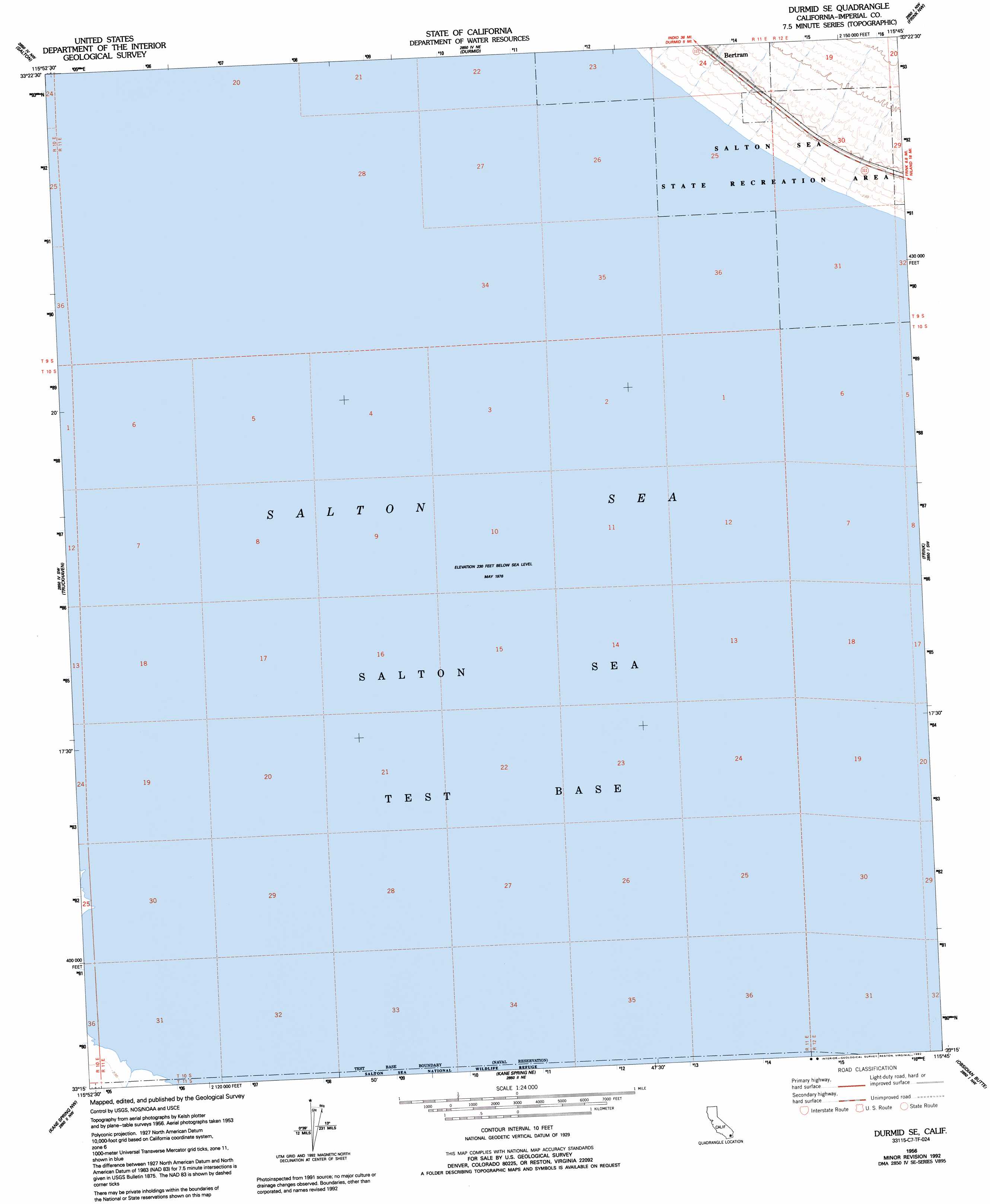
USGS Topo Quad 33115c7 - 1:24,000 scale
| Topo Map Name: | Durmid Se |
| USGS Topo Quad ID: | 33115c7 |
| Print Size: | ca. 21 1/4" wide x 27" high |
| Southeast Coordinates: | 33.25° N latitude / 115.75° W longitude |
| Map Center Coordinates: | 33.3125° N latitude / 115.8125° W longitude |
| U.S. State: | CA |
| Filename: | o33115c7.jpg |
| Download Map JPG Image: | Durmid Se topo map 1:24,000 scale |
| Map Type: | Topographic |
| Topo Series: | 7.5´ |
| Map Scale: | 1:24,000 |
| Source of Map Images: | United States Geological Survey (USGS) |
| Alternate Map Versions: |
Durmid SE CA 1956, updated 1957 Download PDF Buy paper map Durmid SE CA 1956, updated 1959 Download PDF Buy paper map Durmid SE CA 1956, updated 1992 Download PDF Buy paper map Durmid SE CA 1992, updated 1995 Download PDF Buy paper map Durmid SE CA 1998, updated 2003 Download PDF Buy paper map Durmid SE CA 2012 Download PDF Buy paper map Durmid SE CA 2015 Download PDF Buy paper map |
1:24,000 Topo Quads surrounding Durmid Se
Mecca |
Mortmar |
Orocopia Canyon |
Red Canyon |
East Of Red Canyon |
Oasis |
Salton |
Durmid |
Frink Nw |
Frink Ne |
Seventeen Palms |
Truckhaven |
Durmid Se |
Frink |
Wister |
Shell Reef |
Kane Spring Nw |
Kane Spring Ne |
Obsidian Butte |
Niland |
Borrego Mountain Se |
Harpers Well |
Kane Spring |
Westmorland West |
Westmorland East |
> Back to 33115a1 at 1:100,000 scale
> Back to 33114a1 at 1:250,000 scale
> Back to U.S. Topo Maps home
Durmid Se digital topo map on disk
Buy this Durmid Se topo map showing relief, roads, GPS coordinates and other geographical features, as a high-resolution digital map file on DVD: