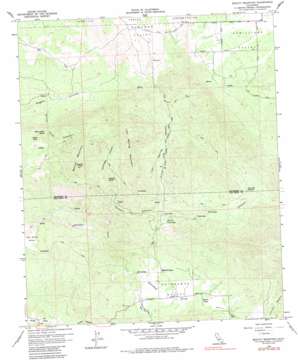
Beauty Mountain Topo Map California
To zoom in, hover over the map of Beauty Mountain
USGS Topo Quad 33116d6 - 1:24,000 scale
| Topo Map Name: | Beauty Mountain |
| USGS Topo Quad ID: | 33116d6 |
| Print Size: | ca. 21 1/4" wide x 27" high |
| Southeast Coordinates: | 33.375° N latitude / 116.625° W longitude |
| Map Center Coordinates: | 33.4375° N latitude / 116.6875° W longitude |
| U.S. State: | CA |
| Filename: | o33116d6.jpg |
| Download Map JPG Image: | Beauty Mountain topo map 1:24,000 scale |
| Map Type: | Topographic |
| Topo Series: | 7.5´ |
| Map Scale: | 1:24,000 |
| Source of Map Images: | United States Geological Survey (USGS) |
| Alternate Map Versions: |
Beauty Mountain CA 1960, updated 1961 Download PDF Buy paper map Beauty Mountain CA 1960, updated 1966 Download PDF Buy paper map Beauty Mountain CA 1960, updated 1966 Download PDF Buy paper map Beauty Mountain CA 1960, updated 1987 Download PDF Buy paper map Beauty Mountain CA 2012 Download PDF Buy paper map Beauty Mountain CA 2015 Download PDF Buy paper map |
1:24,000 Topo Quads surrounding Beauty Mountain
> Back to 33116a1 at 1:100,000 scale
> Back to 33116a1 at 1:250,000 scale
> Back to U.S. Topo Maps home
Beauty Mountain topo map: Gazetteer
Beauty Mountain: Lakes
Twin Lakes elevation 1254m 4114′Twin Lakes elevation 1314m 4311′
Beauty Mountain: Mines
Pawnee Mine elevation 1183m 3881′Beauty Mountain: Parks
Boden Field elevation 1311m 4301′Beauty Mountain: Reservoirs
Lone Pine Reservoir elevation 1415m 4642′Beauty Mountain: Springs
Adobe Springs elevation 1232m 4041′Dick Spring elevation 1020m 3346′
Iron Spring elevation 1312m 4304′
Million Dollar Spring elevation 1336m 4383′
Talmadge Spring elevation 1322m 4337′
Beauty Mountain: Summits
Beauty Mountain elevation 1598m 5242′Beauty Peak elevation 1690m 5544′
Iron Spring Mountain elevation 1750m 5741′
Rock Pile elevation 1471m 4826′
Beauty Mountain: Swamps
Cooper Cienega elevation 1289m 4229′Beauty Mountain: Trails
C R and H Trail elevation 1343m 4406′Cooper Cienega Truck Trail elevation 1440m 4724′
Beauty Mountain: Valleys
Chihuahua Valley elevation 1248m 4094′Cooper Canyon elevation 1059m 3474′
Iron Spring Canyon elevation 1226m 4022′
Million Dollar Canyon elevation 1255m 4117′
Previtt Canyon elevation 974m 3195′
Talmadge Canyon elevation 1158m 3799′
Beauty Mountain digital topo map on disk
Buy this Beauty Mountain topo map showing relief, roads, GPS coordinates and other geographical features, as a high-resolution digital map file on DVD:


