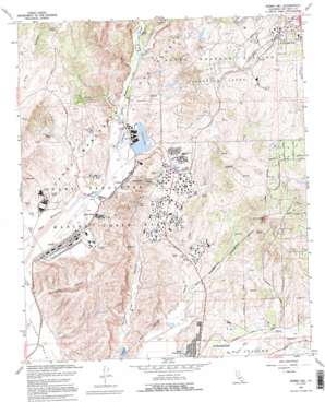
Morro Hill Topo Map California
To zoom in, hover over the map of Morro Hill
USGS Topo Quad 33117c3 - 1:24,000 scale
| Topo Map Name: | Morro Hill |
| USGS Topo Quad ID: | 33117c3 |
| Print Size: | ca. 21 1/4" wide x 27" high |
| Southeast Coordinates: | 33.25° N latitude / 117.25° W longitude |
| Map Center Coordinates: | 33.3125° N latitude / 117.3125° W longitude |
| U.S. State: | CA |
| Filename: | o33117c3.jpg |
| Download Map JPG Image: | Morro Hill topo map 1:24,000 scale |
| Map Type: | Topographic |
| Topo Series: | 7.5´ |
| Map Scale: | 1:24,000 |
| Source of Map Images: | United States Geological Survey (USGS) |
| Alternate Map Versions: |
Morro Hill CA 1948, updated 1960 Download PDF Buy paper map Morro Hill CA 1949, updated 1949 Download PDF Buy paper map Morro Hill CA 1968, updated 1969 Download PDF Buy paper map Morro Hill CA 1968, updated 1995 Download PDF Buy paper map Morro Hill CA 1968, updated 1995 Download PDF Buy paper map Morro Hill CA 2012 Download PDF Buy paper map Morro Hill CA 2015 Download PDF Buy paper map |
1:24,000 Topo Quads surrounding Morro Hill
> Back to 33117a1 at 1:100,000 scale
> Back to 33116a1 at 1:250,000 scale
> Back to U.S. Topo Maps home
Morro Hill topo map: Gazetteer
Morro Hill: Airports
Fallbrook Community Airpark elevation 206m 675′Morro Hill: Basins
Ysidora Basin elevation 8m 26′Morro Hill: Dams
Lake Oneill Dam elevation 32m 104′Pilgrim Creek Dam elevation 25m 82′
Morro Hill: Lakes
Foss Lake (historical) elevation 17m 55′Little Libby Lake elevation 20m 65′
Morro Hill: Parks
Libby Lake City Park elevation 23m 75′North River Road Park elevation 35m 114′
Morro Hill: Populated Places
Chappo elevation 18m 59′DeLuz elevation 180m 590′
Jofegan elevation 28m 91′
Ysidora (historical) elevation 10m 32′
Morro Hill: Reservoirs
Lake Oneill elevation 33m 108′O'Neill Lake elevation 32m 104′
Pilgrim Creek Lake elevation 25m 82′
Morro Hill: Streams
De Luz Creek elevation 47m 154′Morro Hill: Summits
Morro Hill elevation 281m 921′Morro Hill: Valleys
Pueblitos Canyon elevation 10m 32′Rattlesnake Canyon elevation 39m 127′
Wood Canyon elevation 36m 118′
Morro Hill digital topo map on disk
Buy this Morro Hill topo map showing relief, roads, GPS coordinates and other geographical features, as a high-resolution digital map file on DVD:


