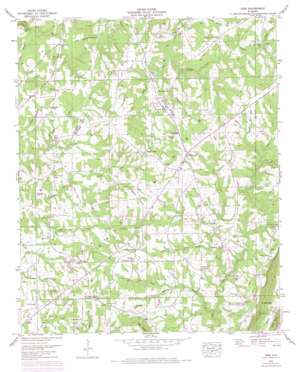
Ider Topo Map Alabama
To zoom in, hover over the map of Ider
USGS Topo Quad 34085f6 - 1:24,000 scale
| Topo Map Name: | Ider |
| USGS Topo Quad ID: | 34085f6 |
| Print Size: | ca. 21 1/4" wide x 27" high |
| Southeast Coordinates: | 34.625° N latitude / 85.625° W longitude |
| Map Center Coordinates: | 34.6875° N latitude / 85.6875° W longitude |
| U.S. State: | AL |
| Filename: | o34085f6.jpg |
| Download Map JPG Image: | Ider topo map 1:24,000 scale |
| Map Type: | Topographic |
| Topo Series: | 7.5´ |
| Map Scale: | 1:24,000 |
| Source of Map Images: | United States Geological Survey (USGS) |
| Alternate Map Versions: |
Ider AL 1936 Download PDF Buy paper map Ider AL 1946, updated 1956 Download PDF Buy paper map Ider AL 1946, updated 1975 Download PDF Buy paper map Ider AL 1947, updated 1947 Download PDF Buy paper map Ider AL 1947, updated 1947 Download PDF Buy paper map Ider AL 2011 Download PDF Buy paper map Ider AL 2014 Download PDF Buy paper map |
1:24,000 Topo Quads surrounding Ider
> Back to 34085e1 at 1:100,000 scale
> Back to 34084a1 at 1:250,000 scale
> Back to U.S. Topo Maps home
Ider topo map: Gazetteer
Ider: Basins
Mason Bottom elevation 407m 1335′Ider: Bridges
Boydston Bridge elevation 418m 1371′Ider: Dams
J R Gilbert Dam elevation 439m 1440′Storie Dam elevation 454m 1489′
Ider: Gaps
Troxtel Gap elevation 450m 1476′Ider: Populated Places
Beaty Crossroads elevation 488m 1601′Biddle Crossroads elevation 479m 1571′
Ider elevation 467m 1532′
Keith elevation 475m 1558′
Oak Grove elevation 463m 1519′
Old Blevins Mill elevation 461m 1512′
Pea Ridge Crossroads elevation 508m 1666′
Shrader elevation 455m 1492′
Skaggs Corner elevation 469m 1538′
Townsend Crossroads elevation 457m 1499′
Yorks Mill elevation 402m 1318′
Ider: Post Offices
Ider Post Office elevation 488m 1601′Ider: Reservoirs
J R Gilberts Lake elevation 439m 1440′Lake Storie elevation 454m 1489′
Ider: Streams
Bailey Branch elevation 383m 1256′Big Glade Branch elevation 318m 1043′
Boydston Creek elevation 409m 1341′
Charlie Creek elevation 444m 1456′
Crow Creek elevation 425m 1394′
East Fork Bryant Creek elevation 419m 1374′
Evans Spring Branch elevation 439m 1440′
Fuller Creek elevation 436m 1430′
Harris Creek elevation 425m 1394′
Highfield Branch elevation 455m 1492′
Jones Branch elevation 444m 1456′
Koger Creek elevation 410m 1345′
Moore Branch elevation 421m 1381′
New Hope Creek elevation 413m 1354′
Pole Creek elevation 425m 1394′
Presswood Branch elevation 436m 1430′
Shumaker Branch elevation 414m 1358′
Ider digital topo map on disk
Buy this Ider topo map showing relief, roads, GPS coordinates and other geographical features, as a high-resolution digital map file on DVD:


