Independence Topo Map Mississippi
To zoom in, hover over the map of Independence
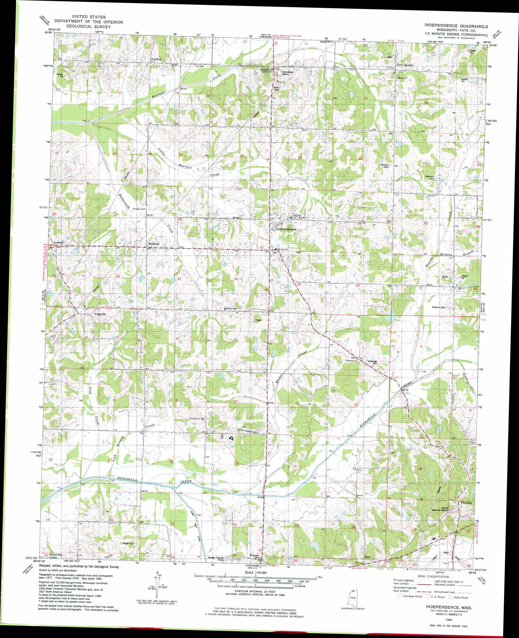
USGS Topo Quad 34089f7 - 1:24,000 scale
| Topo Map Name: | Independence |
| USGS Topo Quad ID: | 34089f7 |
| Print Size: | ca. 21 1/4" wide x 27" high |
| Southeast Coordinates: | 34.625° N latitude / 89.75° W longitude |
| Map Center Coordinates: | 34.6875° N latitude / 89.8125° W longitude |
| U.S. State: | MS |
| Filename: | o34089f7.jpg |
| Download Map JPG Image: | Independence topo map 1:24,000 scale |
| Map Type: | Topographic |
| Topo Series: | 7.5´ |
| Map Scale: | 1:24,000 |
| Source of Map Images: | United States Geological Survey (USGS) |
| Alternate Map Versions: |
Independence MS 1982, updated 1982 Download PDF Buy paper map Independence MS 2012 Download PDF Buy paper map Independence MS 2015 Download PDF Buy paper map |
1:24,000 Topo Quads surrounding Independence
Horn Lake |
Pleasant Hill |
Olive Branch |
Byhalia Nw |
Mount Pleasant |
Frees Corners |
Hernando |
Lewisburg |
Byhalia |
Red Banks |
Arkabutla East |
Coldwater |
Independence |
Wyatte |
Marianna |
Longtown |
Senatobia |
Looxahoma |
Tyro |
Laws Hill |
Pleasant Grove |
Sardis |
Sardis Dam |
Coles Point |
Oxford North |
> Back to 34089e1 at 1:100,000 scale
> Back to 34088a1 at 1:250,000 scale
> Back to U.S. Topo Maps home
Independence topo map: Gazetteer
Independence: Dams
Hershel Key Pond Dam elevation 101m 331′Independence: Populated Places
Antioch elevation 107m 351′Bett elevation 109m 357′
Bowman elevation 94m 308′
Independence elevation 103m 337′
Lurline elevation 91m 298′
Poagville elevation 111m 364′
Thyatira elevation 112m 367′
Independence: Streams
Bad Branch Creek elevation 89m 291′Beards Creek elevation 89m 291′
Browns Branch elevation 97m 318′
Buttermilk Creek elevation 77m 252′
Cathey Creek elevation 93m 305′
James Wolf Creek elevation 81m 265′
Lick Branch Creek elevation 79m 259′
Lick Creek elevation 79m 259′
Little Beartail Creek elevation 75m 246′
Whites Creek elevation 82m 269′
Independence digital topo map on disk
Buy this Independence topo map showing relief, roads, GPS coordinates and other geographical features, as a high-resolution digital map file on DVD: