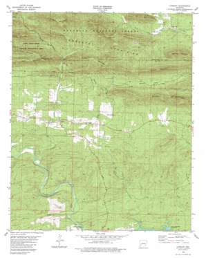
Langley Topo Map Arkansas
To zoom in, hover over the map of Langley
USGS Topo Quad 34093c7 - 1:24,000 scale
| Topo Map Name: | Langley |
| USGS Topo Quad ID: | 34093c7 |
| Print Size: | ca. 21 1/4" wide x 27" high |
| Southeast Coordinates: | 34.25° N latitude / 93.75° W longitude |
| Map Center Coordinates: | 34.3125° N latitude / 93.8125° W longitude |
| U.S. State: | AR |
| Filename: | o34093c7.jpg |
| Download Map JPG Image: | Langley topo map 1:24,000 scale |
| Map Type: | Topographic |
| Topo Series: | 7.5´ |
| Map Scale: | 1:24,000 |
| Source of Map Images: | United States Geological Survey (USGS) |
| Alternate Map Versions: |
Langley AR 1980, updated 1981 Download PDF Buy paper map Langley AR 2011 Download PDF Buy paper map Langley AR 2014 Download PDF Buy paper map |
| FStopo: | US Forest Service topo Langley is available: Download FStopo PDF Download FStopo TIF |
1:24,000 Topo Quads surrounding Langley
> Back to 34093a1 at 1:100,000 scale
> Back to 34092a1 at 1:250,000 scale
> Back to U.S. Topo Maps home
Langley topo map: Gazetteer
Langley: Gaps
Redland Gap elevation 379m 1243′Langley: Mines
Dempsey Cog Bur Barite Mine elevation 275m 902′McKnight Barite Mine elevation 359m 1177′
Langley: Populated Places
Albert elevation 287m 941′Langley elevation 242m 793′
Langley: Post Offices
Langley Post Office elevation 224m 734′Langley: Ranges
Cossatot Mountains elevation 524m 1719′Langley: Streams
Blocker Creek elevation 201m 659′Hogpen Creek elevation 259m 849′
Hurricane Creek elevation 174m 570′
Little Blocker Creek elevation 215m 705′
Sugar Creek elevation 192m 629′
Langley: Summits
Beardon Mountain elevation 433m 1420′Beardon Mountain elevation 436m 1430′
Brooks Mountain elevation 427m 1400′
Fancy Hill Mountain elevation 424m 1391′
Hogpen Mountain elevation 394m 1292′
Paul Mountain elevation 530m 1738′
Pryor Mountain elevation 558m 1830′
Redland Mountain elevation 463m 1519′
Langley: Valleys
Back Valley elevation 248m 813′Brooks Valley elevation 257m 843′
Langley digital topo map on disk
Buy this Langley topo map showing relief, roads, GPS coordinates and other geographical features, as a high-resolution digital map file on DVD:


