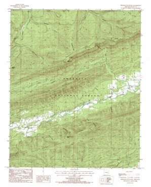
Freedom Mountain Topo Map Arkansas
To zoom in, hover over the map of Freedom Mountain
USGS Topo Quad 34093h7 - 1:24,000 scale
| Topo Map Name: | Freedom Mountain |
| USGS Topo Quad ID: | 34093h7 |
| Print Size: | ca. 21 1/4" wide x 27" high |
| Southeast Coordinates: | 34.875° N latitude / 93.75° W longitude |
| Map Center Coordinates: | 34.9375° N latitude / 93.8125° W longitude |
| U.S. State: | AR |
| Filename: | o34093h7.jpg |
| Download Map JPG Image: | Freedom Mountain topo map 1:24,000 scale |
| Map Type: | Topographic |
| Topo Series: | 7.5´ |
| Map Scale: | 1:24,000 |
| Source of Map Images: | United States Geological Survey (USGS) |
| Alternate Map Versions: |
Freedom Mountain AR 1985, updated 1986 Download PDF Buy paper map Freedom Mountain AR 2011 Download PDF Buy paper map Freedom Mountain AR 2014 Download PDF Buy paper map |
| FStopo: | US Forest Service topo Freedom Mountain is available: Download FStopo PDF Download FStopo TIF |
1:24,000 Topo Quads surrounding Freedom Mountain
> Back to 34093e1 at 1:100,000 scale
> Back to 34092a1 at 1:250,000 scale
> Back to U.S. Topo Maps home
Freedom Mountain topo map: Gazetteer
Freedom Mountain: Populated Places
Olio elevation 216m 708′Union Hill elevation 173m 567′
Freedom Mountain: Ridges
Brush Ridge elevation 394m 1292′High Point Ridge elevation 406m 1332′
Long Ridge elevation 427m 1400′
Spanish Oak Ridge elevation 526m 1725′
Freedom Mountain: Streams
Freedom Creek elevation 159m 521′Kingdoodle Creek elevation 265m 869′
Parker Branch elevation 173m 567′
Pigeon Creek elevation 289m 948′
Rock Quarry Branch elevation 200m 656′
Rocky Branch elevation 216m 708′
Waldron Branch elevation 221m 725′
Whetstone Creek elevation 228m 748′
Freedom Mountain: Summits
Beurknob Mountain elevation 616m 2020′Freedom Mountain elevation 480m 1574′
Hogan Mountain elevation 630m 2066′
Kingdoodle Knob elevation 612m 2007′
Freedom Mountain: Valleys
Blue Hole Hollow elevation 180m 590′Coffee Pot Hollow elevation 234m 767′
Suck Hollow elevation 188m 616′
West Moreland Hollow elevation 203m 666′
Freedom Mountain digital topo map on disk
Buy this Freedom Mountain topo map showing relief, roads, GPS coordinates and other geographical features, as a high-resolution digital map file on DVD:


