Higgins Topo Map Oklahoma
To zoom in, hover over the map of Higgins
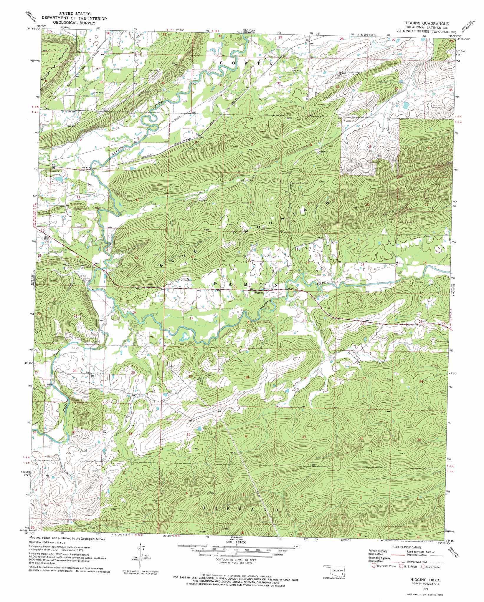
USGS Topo Quad 34095g4 - 1:24,000 scale
| Topo Map Name: | Higgins |
| USGS Topo Quad ID: | 34095g4 |
| Print Size: | ca. 21 1/4" wide x 27" high |
| Southeast Coordinates: | 34.75° N latitude / 95.375° W longitude |
| Map Center Coordinates: | 34.8125° N latitude / 95.4375° W longitude |
| U.S. State: | OK |
| Filename: | o34095g4.jpg |
| Download Map JPG Image: | Higgins topo map 1:24,000 scale |
| Map Type: | Topographic |
| Topo Series: | 7.5´ |
| Map Scale: | 1:24,000 |
| Source of Map Images: | United States Geological Survey (USGS) |
| Alternate Map Versions: |
Higgins OK 1971, updated 1973 Download PDF Buy paper map Higgins OK 2009 Download PDF Buy paper map Higgins OK 2012 Download PDF Buy paper map Higgins OK 2016 Download PDF Buy paper map |
1:24,000 Topo Quads surrounding Higgins
Crowder |
Blocker |
Featherston |
Quinton South |
Kinta |
Krebs |
Adamson |
Gowen |
Wilburton |
Panola |
Hartshorne Sw |
Hartshorne |
Higgins |
Damon |
Baker Mountain |
Ti |
Counts |
Sardis |
Yanush |
Kiamichi |
Daisy |
Adel |
Stanley |
Clayton |
Albion Sw |
> Back to 34095e1 at 1:100,000 scale
> Back to 34094a1 at 1:250,000 scale
> Back to U.S. Topo Maps home
Higgins topo map: Gazetteer
Higgins: Dams
Oknoname 06003 Dam elevation 281m 921′Higgins: Populated Places
Higgins elevation 205m 672′Higgins: Reservoirs
Oknoname 063003 Reservoir elevation 281m 921′Higgins: Streams
Buffalo Creek elevation 195m 639′Cedar Creek elevation 190m 623′
Higgins: Summits
Blue Mountain elevation 426m 1397′Higgins digital topo map on disk
Buy this Higgins topo map showing relief, roads, GPS coordinates and other geographical features, as a high-resolution digital map file on DVD: