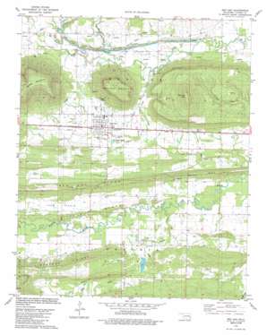
Red Oak Topo Map Oklahoma
To zoom in, hover over the map of Red Oak
USGS Topo Quad 34095h1 - 1:24,000 scale
| Topo Map Name: | Red Oak |
| USGS Topo Quad ID: | 34095h1 |
| Print Size: | ca. 21 1/4" wide x 27" high |
| Southeast Coordinates: | 34.875° N latitude / 95° W longitude |
| Map Center Coordinates: | 34.9375° N latitude / 95.0625° W longitude |
| U.S. State: | OK |
| Filename: | o34095h1.jpg |
| Download Map JPG Image: | Red Oak topo map 1:24,000 scale |
| Map Type: | Topographic |
| Topo Series: | 7.5´ |
| Map Scale: | 1:24,000 |
| Source of Map Images: | United States Geological Survey (USGS) |
| Alternate Map Versions: |
Red Oak OK 1979, updated 1980 Download PDF Buy paper map Red Oak OK 1979, updated 1986 Download PDF Buy paper map Red Oak OK 2010 Download PDF Buy paper map Red Oak OK 2012 Download PDF Buy paper map Red Oak OK 2016 Download PDF Buy paper map |
1:24,000 Topo Quads surrounding Red Oak
> Back to 34095e1 at 1:100,000 scale
> Back to 34094a1 at 1:250,000 scale
> Back to U.S. Topo Maps home
Red Oak topo map: Gazetteer
Red Oak: Dams
Fourche Maline Creek Site 12 Dam elevation 164m 538′Red Oak: Flats
Long Prairie elevation 177m 580′Red Oak: Populated Places
Denman elevation 172m 564′Red Oak elevation 179m 587′
Red Oak: Reservoirs
Fourche Maline Creek Site 12 Reservoir elevation 164m 538′Red Oak: Ridges
Little Ridge elevation 195m 639′Red Oak Ridge elevation 263m 862′
Red Oak: Streams
Coal Creek elevation 169m 554′Hog Creek elevation 159m 521′
Hoot Owl Creek elevation 190m 623′
Pigeon Creek elevation 159m 521′
Rock Creek elevation 177m 580′
Red Oak: Summits
Bull Hill elevation 222m 728′Red Oak Mountain elevation 399m 1309′
Red Oak Peak elevation 447m 1466′
Red Oak digital topo map on disk
Buy this Red Oak topo map showing relief, roads, GPS coordinates and other geographical features, as a high-resolution digital map file on DVD:


