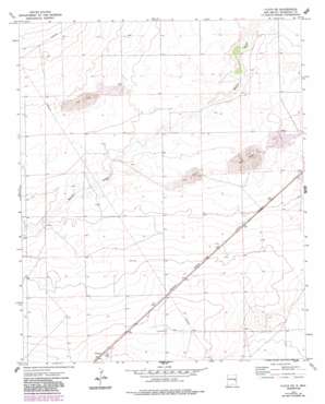
Floyd Se Topo Map New Mexico
To zoom in, hover over the map of Floyd Se
USGS Topo Quad 34103a5 - 1:24,000 scale
| Topo Map Name: | Floyd Se |
| USGS Topo Quad ID: | 34103a5 |
| Print Size: | ca. 21 1/4" wide x 27" high |
| Southeast Coordinates: | 34° N latitude / 103.5° W longitude |
| Map Center Coordinates: | 34.0625° N latitude / 103.5625° W longitude |
| U.S. State: | NM |
| Filename: | o34103a5.jpg |
| Download Map JPG Image: | Floyd Se topo map 1:24,000 scale |
| Map Type: | Topographic |
| Topo Series: | 7.5´ |
| Map Scale: | 1:24,000 |
| Source of Map Images: | United States Geological Survey (USGS) |
| Alternate Map Versions: |
Floyd SE NM 1973, updated 1976 Download PDF Buy paper map Floyd SE NM 1973, updated 1987 Download PDF Buy paper map Floyd SE NM 2010 Download PDF Buy paper map Floyd SE NM 2013 Download PDF Buy paper map Floyd SE NM 2017 Download PDF Buy paper map |
1:24,000 Topo Quads surrounding Floyd Se
> Back to 34103a1 at 1:100,000 scale
> Back to 34102a1 at 1:250,000 scale
> Back to U.S. Topo Maps home
Floyd Se topo map: Gazetteer
Floyd Se: Populated Places
Kermit elevation 1339m 4393′Floyd Se: Post Offices
Kermit Post Office (historical) elevation 1339m 4393′Floyd Se: Wells
10864 Water Well elevation 1297m 4255′10865 Water Well elevation 1279m 4196′
10866 Water Well elevation 1274m 4179′
10867 Water Well elevation 1273m 4176′
10868 Water Well elevation 1282m 4206′
10869 Water Well elevation 1280m 4199′
10870 Water Well elevation 1276m 4186′
10890 Water Well elevation 1259m 4130′
10891 Water Well elevation 1269m 4163′
10971 Water Well elevation 1305m 4281′
11679 Water Well elevation 1282m 4206′
12213 Water Well elevation 1302m 4271′
12214 Water Well elevation 1308m 4291′
12215 Water Well elevation 1304m 4278′
12216 Water Well elevation 1304m 4278′
12225 Water Well elevation 1272m 4173′
12233 Water Well elevation 1256m 4120′
12722 Water Well elevation 1275m 4183′
Floyd Se digital topo map on disk
Buy this Floyd Se topo map showing relief, roads, GPS coordinates and other geographical features, as a high-resolution digital map file on DVD:


