Saint Vrain Topo Map New Mexico
To zoom in, hover over the map of Saint Vrain
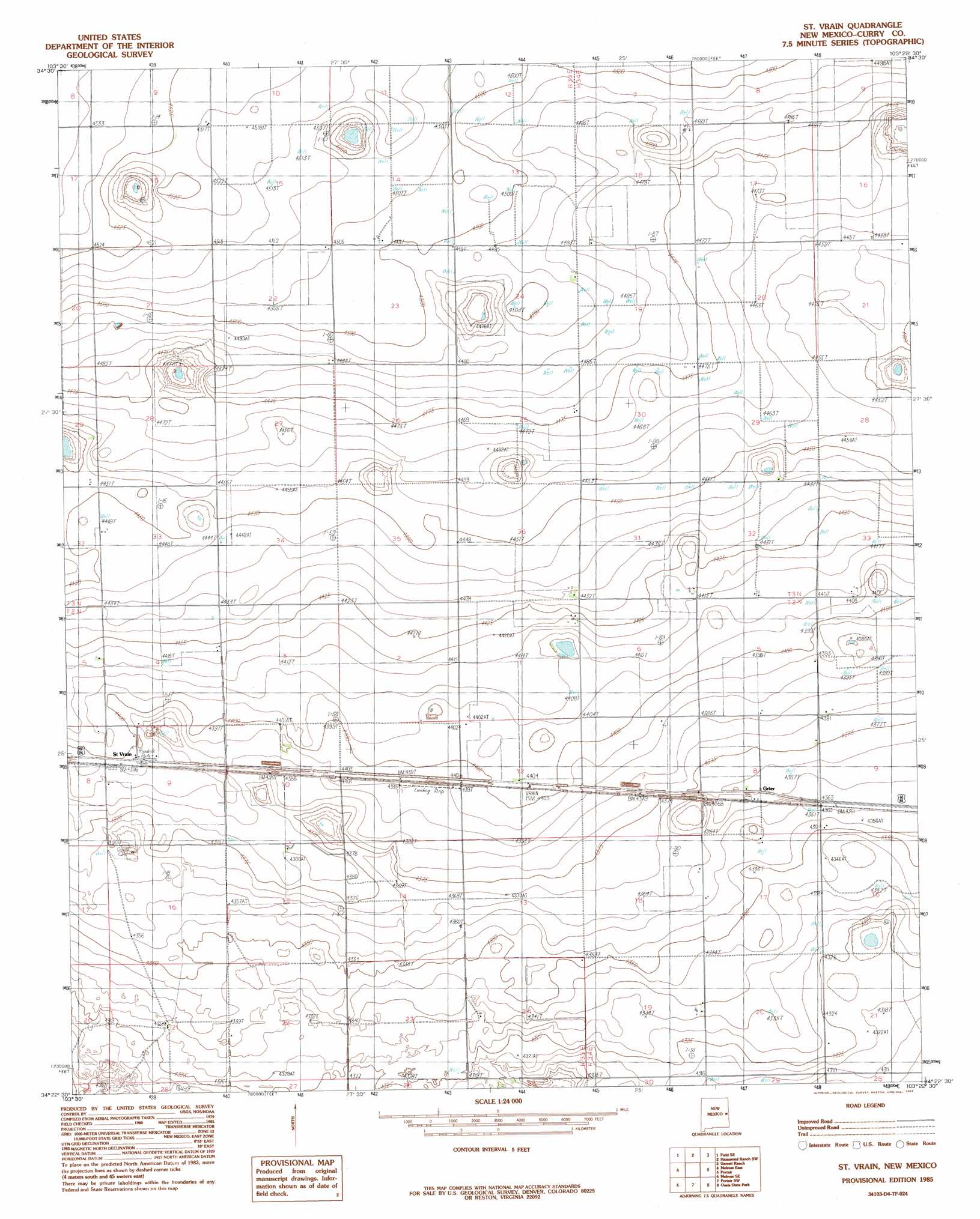
USGS Topo Quad 34103d4 - 1:24,000 scale
| Topo Map Name: | Saint Vrain |
| USGS Topo Quad ID: | 34103d4 |
| Print Size: | ca. 21 1/4" wide x 27" high |
| Southeast Coordinates: | 34.375° N latitude / 103.375° W longitude |
| Map Center Coordinates: | 34.4375° N latitude / 103.4375° W longitude |
| U.S. State: | NM |
| Filename: | o34103d4.jpg |
| Download Map JPG Image: | Saint Vrain topo map 1:24,000 scale |
| Map Type: | Topographic |
| Topo Series: | 7.5´ |
| Map Scale: | 1:24,000 |
| Source of Map Images: | United States Geological Survey (USGS) |
| Alternate Map Versions: |
St Vrain NM 1985, updated 1985 Download PDF Buy paper map Saint Vrain NM 2010 Download PDF Buy paper map Saint Vrain NM 2013 Download PDF Buy paper map Saint Vrain NM 2017 Download PDF Buy paper map |
1:24,000 Topo Quads surrounding Saint Vrain
Weber City |
Field |
Hammond Ranch |
Smith Ranch |
Pleasant Hill Nw |
Field Sw |
Field Se |
Hammond Ranch Sw |
Garrett Ranch |
Ned Houk Park |
Melrose West |
Melrose East |
Saint Vrain |
Portair |
Clovis |
Tule Lake |
Melrose Se |
Portair Sw |
Oasis State Park |
Midway |
Upton |
Floyd |
Bethel |
Portales |
Arch Nw |
> Back to 34103a1 at 1:100,000 scale
> Back to 34102a1 at 1:250,000 scale
> Back to U.S. Topo Maps home
Saint Vrain topo map: Gazetteer
Saint Vrain: Populated Places
Grier elevation 1333m 4373′Saint Vrain elevation 1341m 4399′
Saint Vrain: Post Offices
Grier Post Office (historical) elevation 1333m 4373′Saint Vrain Post Office (historical) elevation 1341m 4399′
Saint Vrain digital topo map on disk
Buy this Saint Vrain topo map showing relief, roads, GPS coordinates and other geographical features, as a high-resolution digital map file on DVD: