Fallon Ranch Topo Map New Mexico
To zoom in, hover over the map of Fallon Ranch
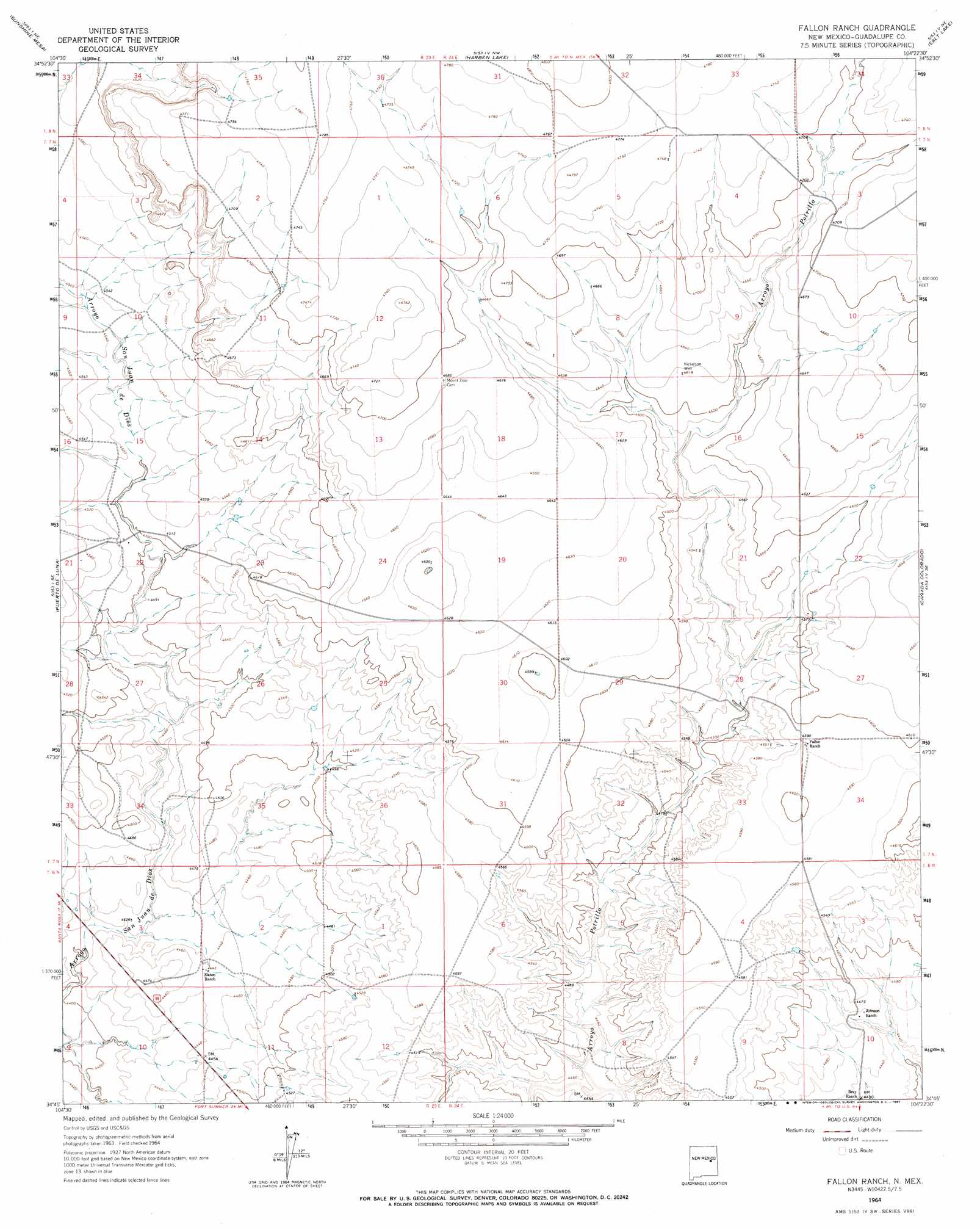
USGS Topo Quad 34104g4 - 1:24,000 scale
| Topo Map Name: | Fallon Ranch |
| USGS Topo Quad ID: | 34104g4 |
| Print Size: | ca. 21 1/4" wide x 27" high |
| Southeast Coordinates: | 34.75° N latitude / 104.375° W longitude |
| Map Center Coordinates: | 34.8125° N latitude / 104.4375° W longitude |
| U.S. State: | NM |
| Filename: | o34104g4.jpg |
| Download Map JPG Image: | Fallon Ranch topo map 1:24,000 scale |
| Map Type: | Topographic |
| Topo Series: | 7.5´ |
| Map Scale: | 1:24,000 |
| Source of Map Images: | United States Geological Survey (USGS) |
| Alternate Map Versions: |
Fallon Ranch NM 1964, updated 1967 Download PDF Buy paper map Fallon Ranch NM 2010 Download PDF Buy paper map Fallon Ranch NM 2013 Download PDF Buy paper map Fallon Ranch NM 2017 Download PDF Buy paper map |
1:24,000 Topo Quads surrounding Fallon Ranch
Catfish Falls |
Sacaton Draw |
Cuervo |
Newkirk |
Gate Canyon |
Santa Rosa |
Sunshine Mesa |
Harben Lake |
Salt Lake |
Ima Nw |
Puerto Creek |
Puerto De Luna |
Fallon Ranch |
Canada Colorado |
Ima Sw |
Borica |
Ojo Negro Creek |
Gibbons Ranch |
Colorado Canyon |
Twin Mesa Nw |
Borica Sw |
Cooper Ranch |
Alamogordo Dam |
Windmill Draw |
Twin Mesa |
> Back to 34104e1 at 1:100,000 scale
> Back to 34104a1 at 1:250,000 scale
> Back to U.S. Topo Maps home
No gazetteer data is available for the Fallon Ranch topo map sheet.
Fallon Ranch digital topo map on disk
Buy this Fallon Ranch topo map showing relief, roads, GPS coordinates and other geographical features, as a high-resolution digital map file on DVD: