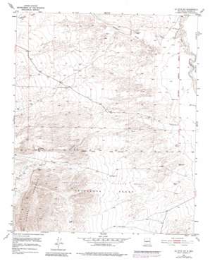
La Joya Nw Topo Map New Mexico
To zoom in, hover over the map of La Joya Nw
USGS Topo Quad 34106d8 - 1:24,000 scale
| Topo Map Name: | La Joya Nw |
| USGS Topo Quad ID: | 34106d8 |
| Print Size: | ca. 21 1/4" wide x 27" high |
| Southeast Coordinates: | 34.375° N latitude / 106.875° W longitude |
| Map Center Coordinates: | 34.4375° N latitude / 106.9375° W longitude |
| U.S. State: | NM |
| Filename: | o34106d8.jpg |
| Download Map JPG Image: | La Joya Nw topo map 1:24,000 scale |
| Map Type: | Topographic |
| Topo Series: | 7.5´ |
| Map Scale: | 1:24,000 |
| Source of Map Images: | United States Geological Survey (USGS) |
| Alternate Map Versions: |
La Joya NW NM 1952, updated 1953 Download PDF Buy paper map La Joya NW NM 1952, updated 1974 Download PDF Buy paper map La Joya NW NM 1952, updated 1980 Download PDF Buy paper map La Joya NW NM 2010 Download PDF Buy paper map La Joya NW NM 2013 Download PDF Buy paper map La Joya NW NM 2017 Download PDF Buy paper map |
1:24,000 Topo Quads surrounding La Joya Nw
> Back to 34106a1 at 1:100,000 scale
> Back to 34106a1 at 1:250,000 scale
> Back to U.S. Topo Maps home
La Joya Nw topo map: Gazetteer
La Joya Nw: Dams
Blue Detention Dam elevation 1491m 4891′Connie Detention Dam elevation 1516m 4973′
Flanders Number 1 Detention Dam elevation 1523m 4996′
PJ Number 6 Detention Dam elevation 1518m 4980′
La Joya Nw: Summits
Sierra Ladrones elevation 1776m 5826′La Joya Nw: Valleys
Mariano Draw elevation 1456m 4776′La Joya Nw: Wells
Dry Well elevation 1589m 5213′Smith Headquarters Water Well elevation 1502m 4927′
La Joya Nw digital topo map on disk
Buy this La Joya Nw topo map showing relief, roads, GPS coordinates and other geographical features, as a high-resolution digital map file on DVD:


