Trail Lake Topo Map New Mexico
To zoom in, hover over the map of Trail Lake
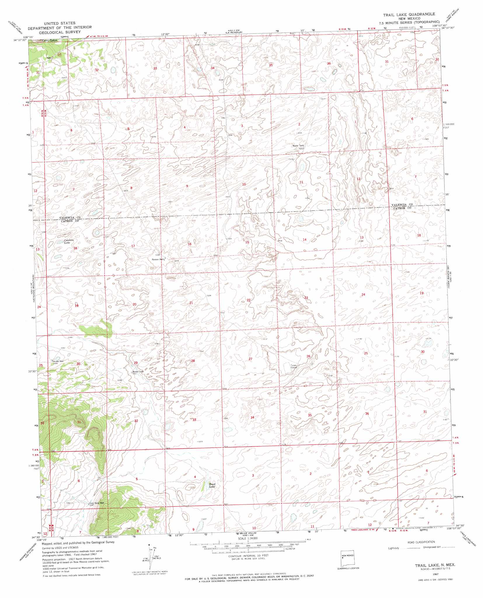
USGS Topo Quad 34108e2 - 1:24,000 scale
| Topo Map Name: | Trail Lake |
| USGS Topo Quad ID: | 34108e2 |
| Print Size: | ca. 21 1/4" wide x 27" high |
| Southeast Coordinates: | 34.5° N latitude / 108.125° W longitude |
| Map Center Coordinates: | 34.5625° N latitude / 108.1875° W longitude |
| U.S. State: | NM |
| Filename: | o34108e2.jpg |
| Download Map JPG Image: | Trail Lake topo map 1:24,000 scale |
| Map Type: | Topographic |
| Topo Series: | 7.5´ |
| Map Scale: | 1:24,000 |
| Source of Map Images: | United States Geological Survey (USGS) |
| Alternate Map Versions: |
Trail Lake NM 1967, updated 1971 Download PDF Buy paper map Trail Lake NM 2010 Download PDF Buy paper map Trail Lake NM 2013 Download PDF Buy paper map Trail Lake NM 2017 Download PDF Buy paper map |
1:24,000 Topo Quads surrounding Trail Lake
Red Lake Mission |
Cerro Alto |
Cerro Brilliante |
Ice Caves Se |
North Pasture |
Chimney Hill |
Cerro Pomo |
La Rendija |
York Ranch |
Sand Canyon |
Techado |
Veteado Mountain |
Trail Lake |
York Ranch Se |
Bonine Canyon |
Mariano Springs |
Adams Diggings |
Blue Hills |
Tres Lagunas |
Third Canyon |
Quemado |
Omega |
Pie Town |
Red Flats |
Madre Mountain |
> Back to 34108e1 at 1:100,000 scale
> Back to 34108a1 at 1:250,000 scale
> Back to U.S. Topo Maps home
Trail Lake topo map: Gazetteer
Trail Lake: Lakes
Canteen Lake elevation 2219m 7280′Trail Lake elevation 2201m 7221′
Trail Lake: Wells
Katy Bess Well elevation 2212m 7257′Ramon Well elevation 2197m 7208′
Viuda Well elevation 2217m 7273′
Trail Lake digital topo map on disk
Buy this Trail Lake topo map showing relief, roads, GPS coordinates and other geographical features, as a high-resolution digital map file on DVD: