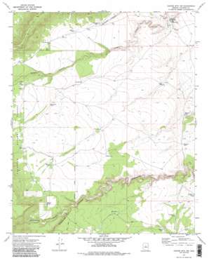
Chavez Mountain Nw Topo Map Arizona
To zoom in, hover over the map of Chavez Mountain Nw
USGS Topo Quad 34111h2 - 1:24,000 scale
| Topo Map Name: | Chavez Mountain Nw |
| USGS Topo Quad ID: | 34111h2 |
| Print Size: | ca. 21 1/4" wide x 27" high |
| Southeast Coordinates: | 34.875° N latitude / 111.125° W longitude |
| Map Center Coordinates: | 34.9375° N latitude / 111.1875° W longitude |
| U.S. State: | AZ |
| Filename: | o34111h2.jpg |
| Download Map JPG Image: | Chavez Mountain Nw topo map 1:24,000 scale |
| Map Type: | Topographic |
| Topo Series: | 7.5´ |
| Map Scale: | 1:24,000 |
| Source of Map Images: | United States Geological Survey (USGS) |
| Alternate Map Versions: |
Chavez Mtn NW AZ 1970, updated 1973 Download PDF Buy paper map Chavez Mtn NW AZ 1970, updated 1985 Download PDF Buy paper map Chavez Mountain NW AZ 2011 Download PDF Buy paper map Chavez Mountain NW AZ 2014 Download PDF Buy paper map |
| FStopo: | US Forest Service topo Chavez Mountain NW is available: Download FStopo PDF Download FStopo TIF |
1:24,000 Topo Quads surrounding Chavez Mountain Nw
> Back to 34111e1 at 1:100,000 scale
> Back to 34110a1 at 1:250,000 scale
> Back to U.S. Topo Maps home
Chavez Mountain Nw topo map: Gazetteer
Chavez Mountain Nw: Reservoirs
Big Kelley Tank elevation 1757m 5764′Buzzard Tank elevation 1840m 6036′
Diversion Tank elevation 1812m 5944′
Easter Tank elevation 1815m 5954′
Hart Tank elevation 1892m 6207′
Little Kelley Tank elevation 1759m 5770′
Morton Tanks elevation 1955m 6414′
No Name Tank elevation 1814m 5951′
Olin Tank elevation 1947m 6387′
Pill Tank Number One elevation 1847m 6059′
Reserve Tank elevation 1928m 6325′
Roosevelt Tank elevation 1798m 5898′
Silt Tank elevation 1891m 6204′
Tank Number One elevation 1867m 6125′
Tank Number Three elevation 1879m 6164′
Tank Number Two elevation 1882m 6174′
Tillman Tank elevation 1867m 6125′
Two Section Tank elevation 1901m 6236′
Chavez Mountain Nw: Valleys
Kinnikinick Canyon elevation 1893m 6210′Chavez Mountain Nw: Wells
Grapevine Well elevation 1850m 6069′Chavez Mountain Nw digital topo map on disk
Buy this Chavez Mountain Nw topo map showing relief, roads, GPS coordinates and other geographical features, as a high-resolution digital map file on DVD:


