Vidal Nw Topo Map California
To zoom in, hover over the map of Vidal Nw
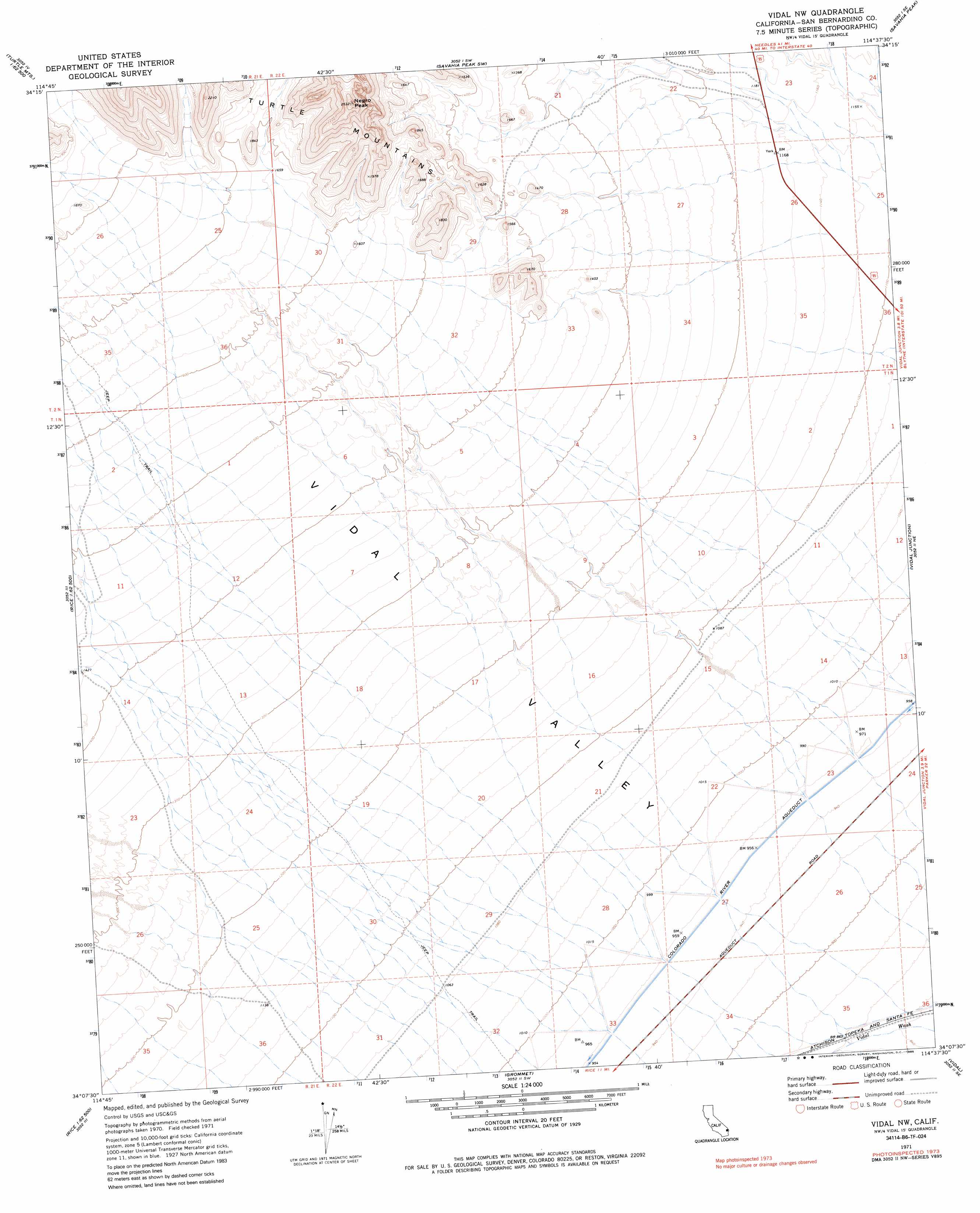
USGS Topo Quad 34114b6 - 1:24,000 scale
| Topo Map Name: | Vidal Nw |
| USGS Topo Quad ID: | 34114b6 |
| Print Size: | ca. 21 1/4" wide x 27" high |
| Southeast Coordinates: | 34.125° N latitude / 114.625° W longitude |
| Map Center Coordinates: | 34.1875° N latitude / 114.6875° W longitude |
| U.S. State: | CA |
| Filename: | o34114b6.jpg |
| Download Map JPG Image: | Vidal Nw topo map 1:24,000 scale |
| Map Type: | Topographic |
| Topo Series: | 7.5´ |
| Map Scale: | 1:24,000 |
| Source of Map Images: | United States Geological Survey (USGS) |
| Alternate Map Versions: |
Vidal NW CA 1971, updated 1973 Download PDF Buy paper map Vidal NW CA 1971, updated 1985 Download PDF Buy paper map Vidal NW CA 2012 Download PDF Buy paper map Vidal NW CA 2015 Download PDF Buy paper map |
1:24,000 Topo Quads surrounding Vidal Nw
West Of Mohawk Spring |
Mohawk Spring |
Savahia Peak Nw |
Savahia Peak Ne |
Havasu Lake |
Martins Well |
Mopah Peaks |
Savahia Peak Sw |
Savahia Peak |
Whipple Mountains Sw |
Sablon |
Horn Spring |
Vidal Nw |
Vidal Junction |
Parker Nw |
Arica Mountains |
Rice |
Grommet |
Vidal |
Parker Sw |
Little Maria Mountains |
Styx |
Big Maria Mountains Nw |
Big Maria Mountains Ne |
Poston |
> Back to 34114a1 at 1:100,000 scale
> Back to 34114a1 at 1:250,000 scale
> Back to U.S. Topo Maps home
Vidal Nw digital topo map on disk
Buy this Vidal Nw topo map showing relief, roads, GPS coordinates and other geographical features, as a high-resolution digital map file on DVD: