Cleghorn Lakes Topo Map California
To zoom in, hover over the map of Cleghorn Lakes
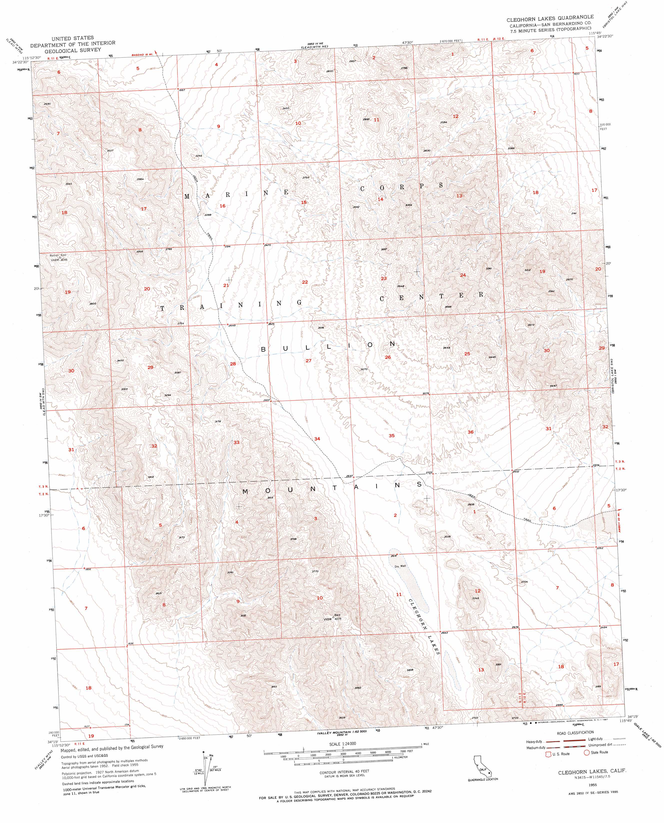
USGS Topo Quad 34115c7 - 1:24,000 scale
| Topo Map Name: | Cleghorn Lakes |
| USGS Topo Quad ID: | 34115c7 |
| Print Size: | ca. 21 1/4" wide x 27" high |
| Southeast Coordinates: | 34.25° N latitude / 115.75° W longitude |
| Map Center Coordinates: | 34.3125° N latitude / 115.8125° W longitude |
| U.S. State: | CA |
| Filename: | o34115c7.jpg |
| Download Map JPG Image: | Cleghorn Lakes topo map 1:24,000 scale |
| Map Type: | Topographic |
| Topo Series: | 7.5´ |
| Map Scale: | 1:24,000 |
| Source of Map Images: | United States Geological Survey (USGS) |
| Alternate Map Versions: |
Cleghorn Lakes CA 1955, updated 1956 Download PDF Buy paper map Cleghorn Lakes CA 1955, updated 1967 Download PDF Buy paper map Cleghorn Lakes CA 1955, updated 1967 Download PDF Buy paper map Cleghorn Lakes CA 2012 Download PDF Buy paper map Cleghorn Lakes CA 2015 Download PDF Buy paper map |
1:24,000 Topo Quads surrounding Cleghorn Lakes
Ludlow Se |
Bagdad Sw |
Amboy Crater |
Amboy |
Cadiz |
Deadman Lake Ne |
Lead Mountain |
Lead Mountain Ne |
Bristol Lake Nw |
Calumet Mine |
Deadman Lake Se |
Lead Mountain Sw |
Cleghorn Lakes |
Bristol Lake Sw |
Calumet Mountains |
Twentynine Palms |
Valley Mountain |
East Of Valley Mountain |
Dale Lake |
East Of Dale Lake |
Queen Mountain |
Twentynine Palms Mountain |
Humbug Mountain |
New Dale |
Clarks Pass |
> Back to 34115a1 at 1:100,000 scale
> Back to 34114a1 at 1:250,000 scale
> Back to U.S. Topo Maps home
Cleghorn Lakes digital topo map on disk
Buy this Cleghorn Lakes topo map showing relief, roads, GPS coordinates and other geographical features, as a high-resolution digital map file on DVD: