West Of Budweiser Wash Topo Map California
To zoom in, hover over the map of West Of Budweiser Wash
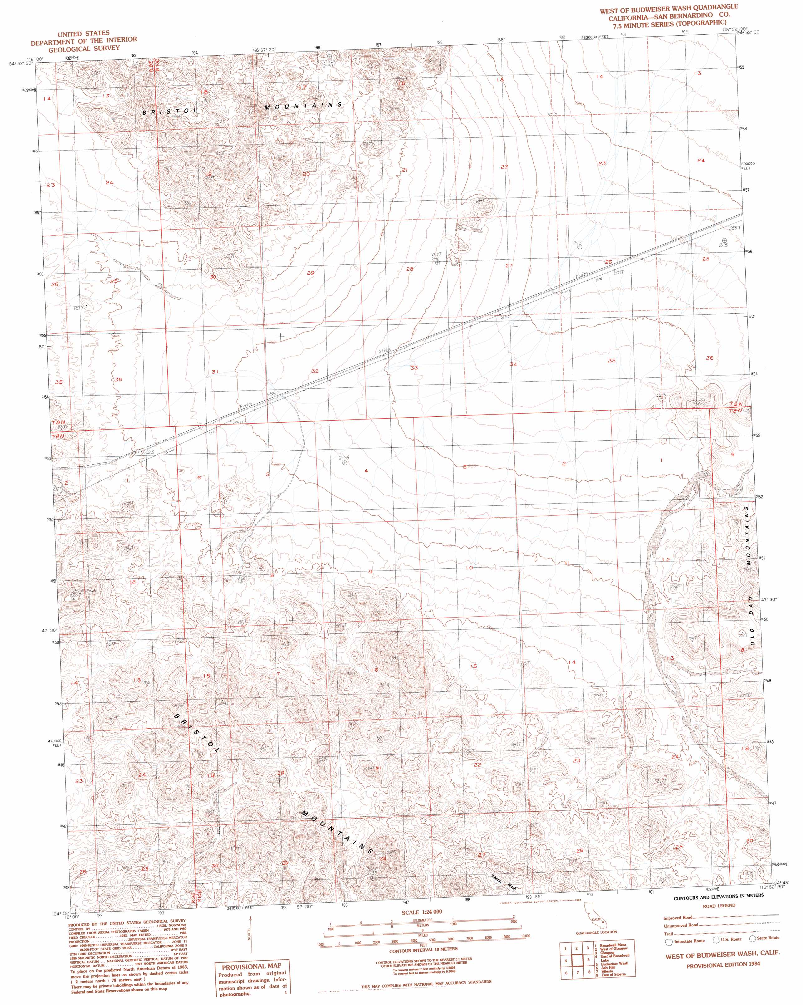
USGS Topo Quad 34115g8 - 1:24,000 scale
| Topo Map Name: | West Of Budweiser Wash |
| USGS Topo Quad ID: | 34115g8 |
| Print Size: | ca. 21 1/4" wide x 27" high |
| Southeast Coordinates: | 34.75° N latitude / 115.875° W longitude |
| Map Center Coordinates: | 34.8125° N latitude / 115.9375° W longitude |
| U.S. State: | CA |
| Filename: | o34115g8.jpg |
| Download Map JPG Image: | West Of Budweiser Wash topo map 1:24,000 scale |
| Map Type: | Topographic |
| Topo Series: | 7.5´ |
| Map Scale: | 1:24,000 |
| Source of Map Images: | United States Geological Survey (USGS) |
| Alternate Map Versions: |
West of Budweiser Wash CA 1984, updated 1985 Download PDF Buy paper map West of Budweiser Wash CA 2012 Download PDF Buy paper map West of Budweiser Wash CA 2015 Download PDF Buy paper map |
1:24,000 Topo Quads surrounding West Of Budweiser Wash
Crucero Hill |
Soda Lake South |
Cowhole Mountain |
Old Dad Mountain |
Kelso |
West Of Broadwell Mesa |
Broadwell Mesa |
West Of Glasgow |
Glasgow |
Kelso Dunes |
Broadwell Lake |
East Of Broadwell Lake |
West Of Budweiser Wash |
Budweiser Wash |
Bighorn Basin |
Ludlow |
Ash Hill |
Siberia |
East Of Siberia |
Brown Buttes |
Morgans Well |
Ludlow Se |
Bagdad Sw |
Amboy Crater |
Amboy |
> Back to 34115e1 at 1:100,000 scale
> Back to 34114a1 at 1:250,000 scale
> Back to U.S. Topo Maps home
West Of Budweiser Wash topo map: Gazetteer
West Of Budweiser Wash: Mines
Onyx Mine elevation 766m 2513′West Of Budweiser Wash digital topo map on disk
Buy this West Of Budweiser Wash topo map showing relief, roads, GPS coordinates and other geographical features, as a high-resolution digital map file on DVD: