Ludlow Se Topo Map California
To zoom in, hover over the map of Ludlow Se
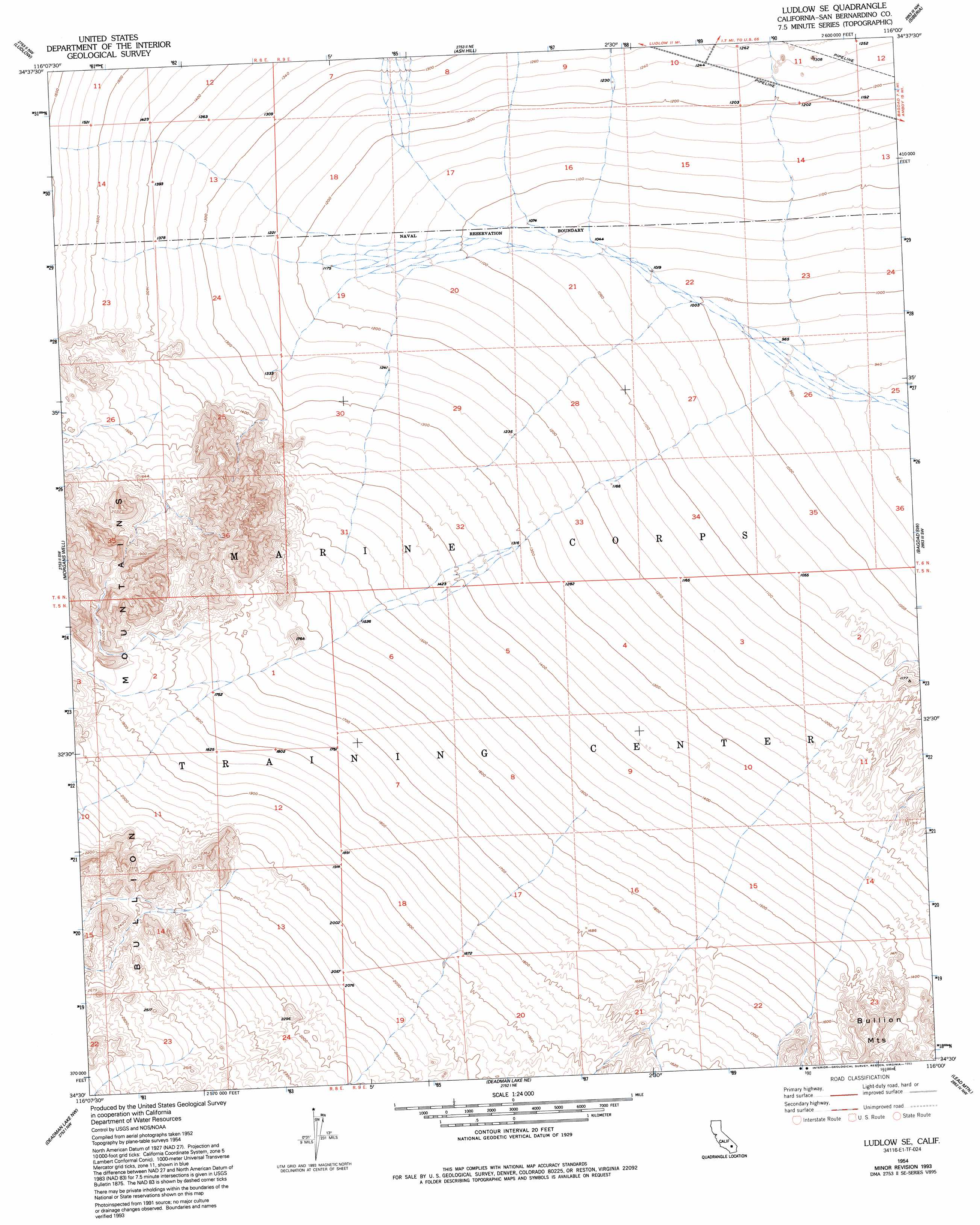
USGS Topo Quad 34116e1 - 1:24,000 scale
| Topo Map Name: | Ludlow Se |
| USGS Topo Quad ID: | 34116e1 |
| Print Size: | ca. 21 1/4" wide x 27" high |
| Southeast Coordinates: | 34.5° N latitude / 116° W longitude |
| Map Center Coordinates: | 34.5625° N latitude / 116.0625° W longitude |
| U.S. State: | CA |
| Filename: | o34116e1.jpg |
| Download Map JPG Image: | Ludlow Se topo map 1:24,000 scale |
| Map Type: | Topographic |
| Topo Series: | 7.5´ |
| Map Scale: | 1:24,000 |
| Source of Map Images: | United States Geological Survey (USGS) |
| Alternate Map Versions: |
Ludlow SE CA 1954, updated 1955 Download PDF Buy paper map Ludlow SE CA 1954, updated 1963 Download PDF Buy paper map Ludlow SE CA 1954, updated 1983 Download PDF Buy paper map Ludlow SE CA 1954, updated 1993 Download PDF Buy paper map Ludlow SE CA 2012 Download PDF Buy paper map Ludlow SE CA 2015 Download PDF Buy paper map |
1:24,000 Topo Quads surrounding Ludlow Se
Sleeping Beauty |
Broadwell Lake |
East Of Broadwell Lake |
West Of Budweiser Wash |
Budweiser Wash |
Lavic Lake |
Ludlow |
Ash Hill |
Siberia |
East Of Siberia |
Lavic Se |
Morgans Well |
Ludlow Se |
Bagdad Sw |
Amboy Crater |
Hidalgo Mountain |
Deadman Lake Nw |
Deadman Lake Ne |
Lead Mountain |
Lead Mountain Ne |
Goat Mountain |
Deadman Lake Sw |
Deadman Lake Se |
Lead Mountain Sw |
Cleghorn Lakes |
> Back to 34116e1 at 1:100,000 scale
> Back to 34116a1 at 1:250,000 scale
> Back to U.S. Topo Maps home
No gazetteer data is available for the Ludlow Se topo map sheet.
Ludlow Se digital topo map on disk
Buy this Ludlow Se topo map showing relief, roads, GPS coordinates and other geographical features, as a high-resolution digital map file on DVD: