Bissell Topo Map California
To zoom in, hover over the map of Bissell
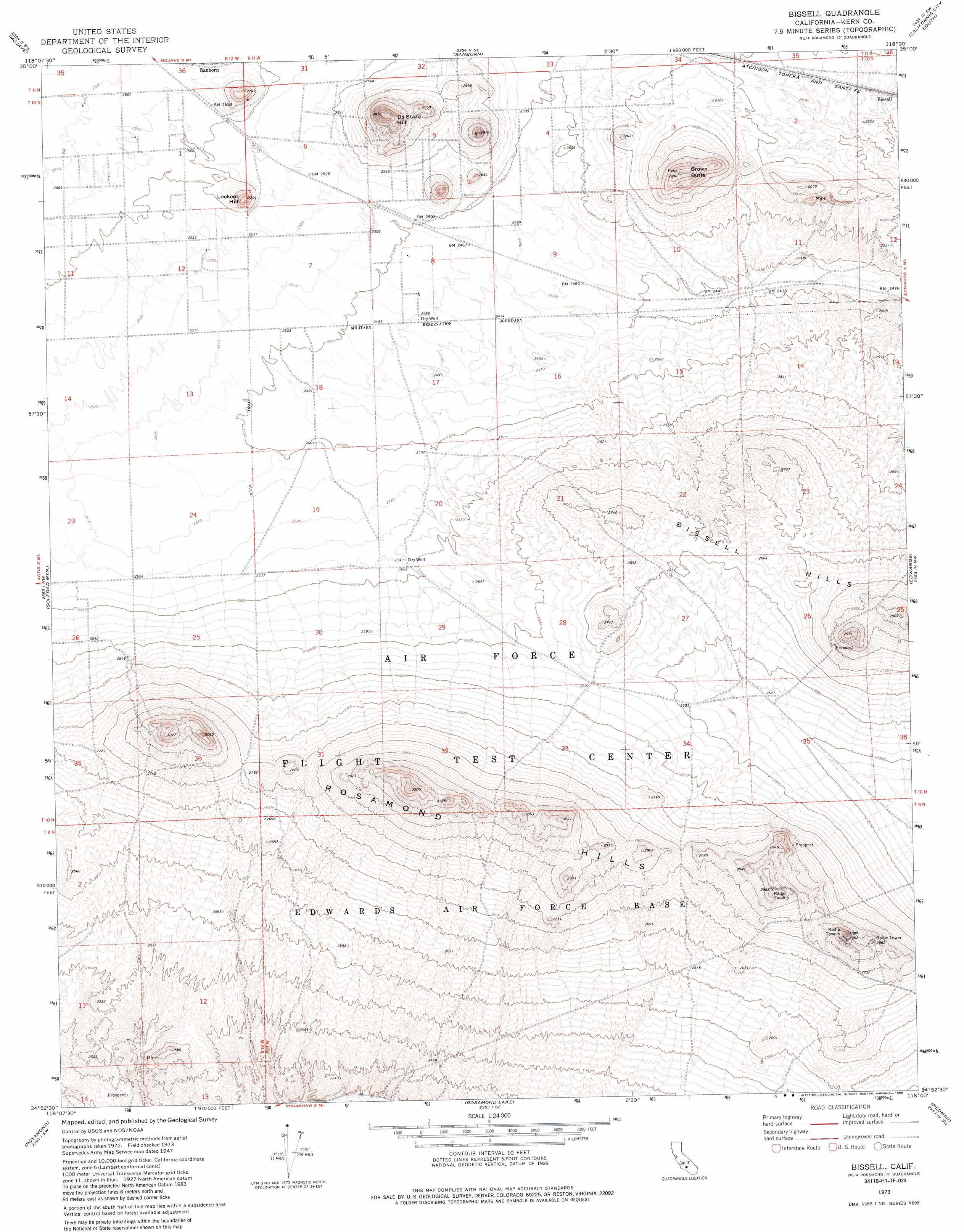
USGS Topo Quad 34118h1 - 1:24,000 scale
| Topo Map Name: | Bissell |
| USGS Topo Quad ID: | 34118h1 |
| Print Size: | ca. 21 1/4" wide x 27" high |
| Southeast Coordinates: | 34.875° N latitude / 118° W longitude |
| Map Center Coordinates: | 34.9375° N latitude / 118.0625° W longitude |
| U.S. State: | CA |
| Filename: | o34118h1.jpg |
| Download Map JPG Image: | Bissell topo map 1:24,000 scale |
| Map Type: | Topographic |
| Topo Series: | 7.5´ |
| Map Scale: | 1:24,000 |
| Source of Map Images: | United States Geological Survey (USGS) |
| Alternate Map Versions: |
Bissell CA 1947, updated 1947 Download PDF Buy paper map Bissell CA 1947, updated 1963 Download PDF Buy paper map Bissell CA 1947, updated 1966 Download PDF Buy paper map Bissell CA 1973, updated 1976 Download PDF Buy paper map Bissell CA 1973, updated 1985 Download PDF Buy paper map Bissell CA 2012 Download PDF Buy paper map Bissell CA 2015 Download PDF Buy paper map |
1:24,000 Topo Quads surrounding Bissell
Tehachapi Ne |
Cache Peak |
Mojave Ne |
California City North |
Galileo Hill |
Monolith |
Mojave |
Sanborn |
California City South |
North Edwards |
Willow Springs |
Soledad Mountain |
Bissell |
Edwards |
Rogers Lake North |
Little Buttes |
Rosamond |
Rosamond Lake |
Redman |
Rogers Lake South |
Del Sur |
Lancaster West |
Lancaster East |
Alpine Butte |
Hi Vista |
> Back to 34118e1 at 1:100,000 scale
> Back to 34118a1 at 1:250,000 scale
> Back to U.S. Topo Maps home
Bissell topo map: Gazetteer
Bissell: Populated Places
Bissell elevation 772m 2532′Bissell: Ranges
Rosamond Hills elevation 919m 3015′Bissell: Summits
Brown Butte elevation 885m 2903′De Stazo Hill elevation 905m 2969′
Lookout Hill elevation 831m 2726′
Bissell digital topo map on disk
Buy this Bissell topo map showing relief, roads, GPS coordinates and other geographical features, as a high-resolution digital map file on DVD: